 Onwards and northwards we went, over our very own bridge …

… and just a couple of stops, in Whangaroa for lunch …

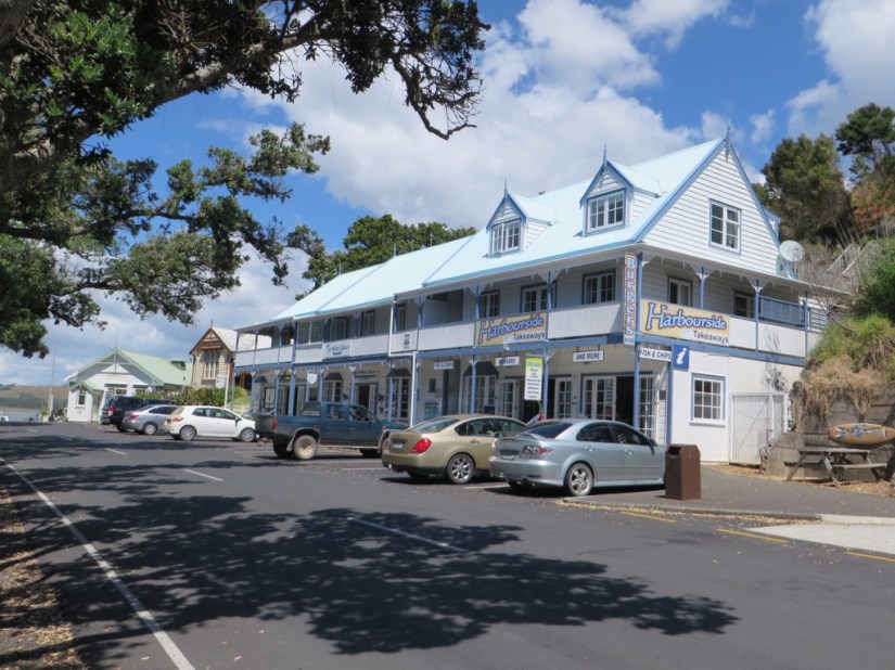
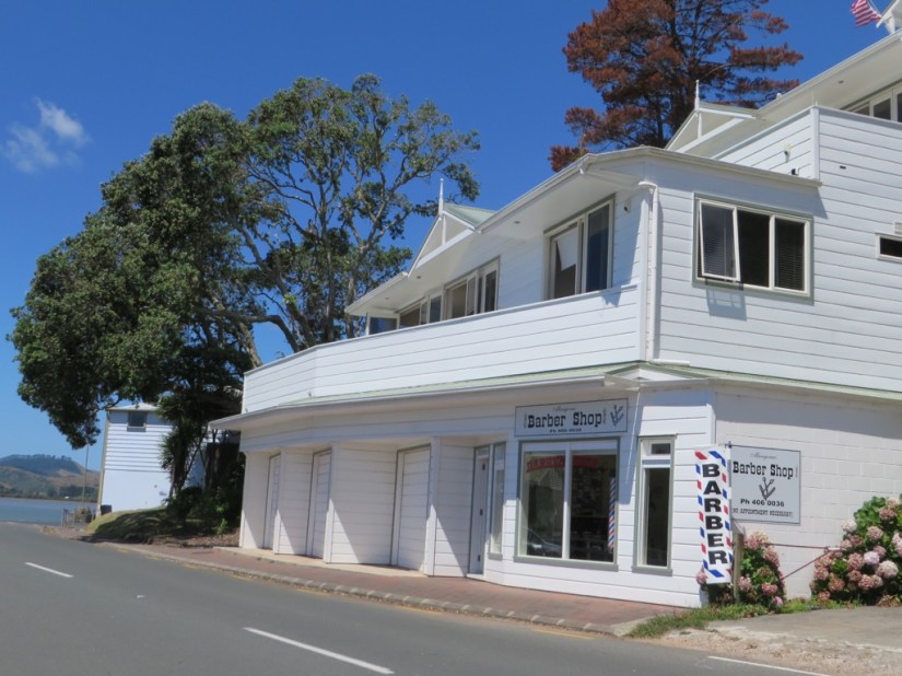
… and Mangonui where I bought a piece of smoked hapuku from the world famous fish shop for supper and Chris had a tidy at the most northern barbers in NZ.


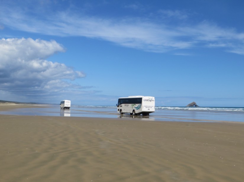
Our campsite was at Ahipara, which is at the beginning of Ninety Mile Beach and we walked down and swam in the sea, then sat fascinated watching seagulls flying into the air and dropping clam shells from some 20ft down onto the sand again and again until the shell broke and they could eat the fish inside. The beach can be driven on (but not in hired campervans) so the next day we went by coach instead, giving Chris a day off from the driving, and getting our fix for a whizz down the beach too.


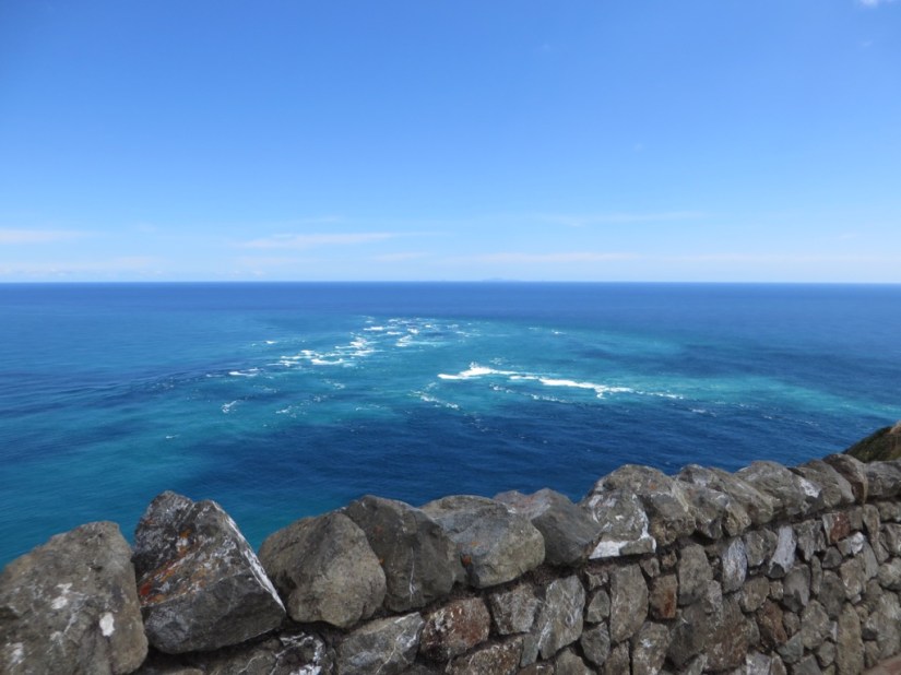
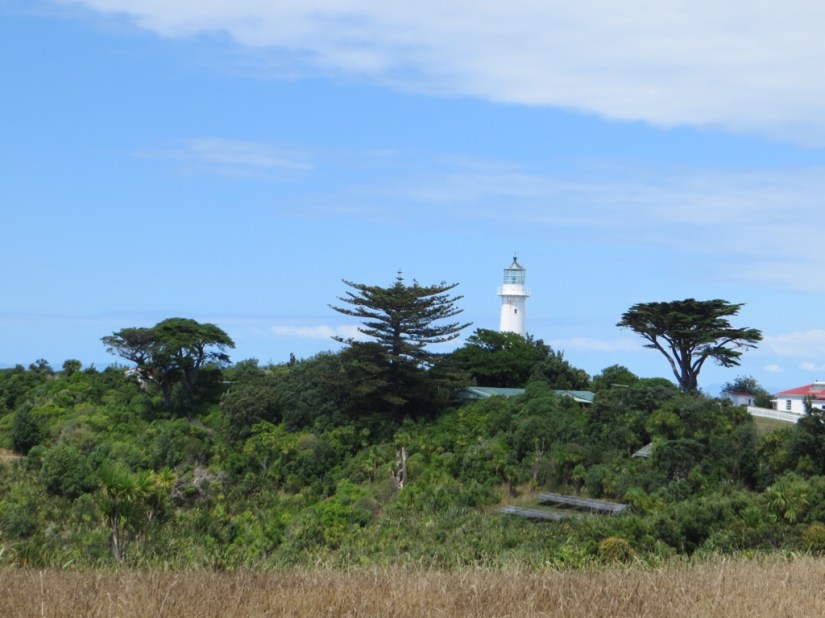
There was quite a drive, 130kms to Cape Reinga by the main road with just a couple of stops, and the sea hidden all the way by a strip of pine forest.
It is a very spiritual place for the Maori who call it Te Rerenga Wairua, the leaping place of the spirits. There is a rock with a kahika tree, which is the place where spirits of the departed descend to the water by steps made from the tree roots, then continue on their journey to Hawaiki, their spiritual home.

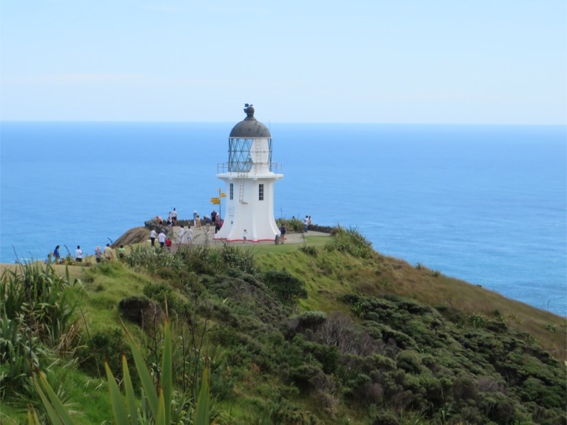
There is also a lighthouse looking down to where the waves of the Tasman Sea meet the swirling currents of the Pacific Ocean.
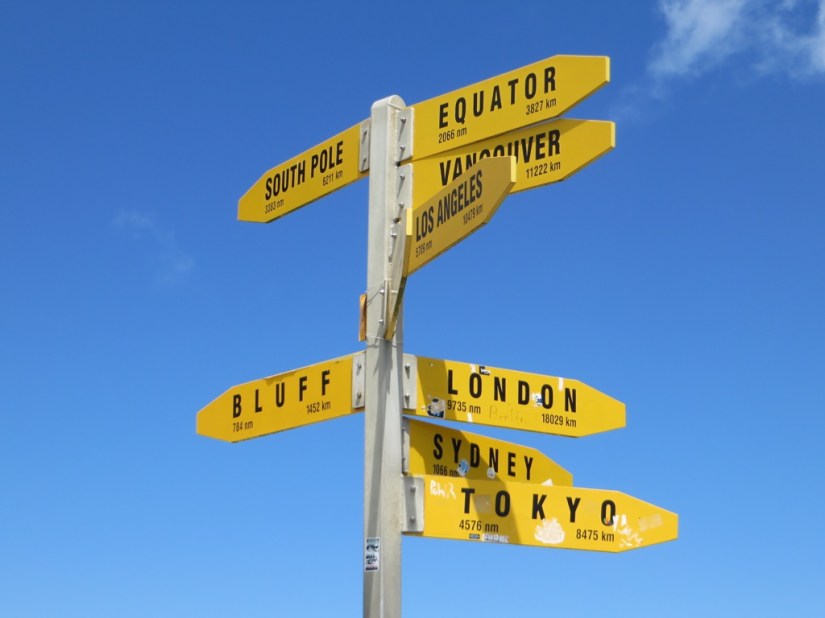
The phrase “From Cape Reinga to The Bluff” is frequently used within NZ to refer to the whole country, even if it’s not quite accurate, hence the signpost saying Bluff is 1452km.
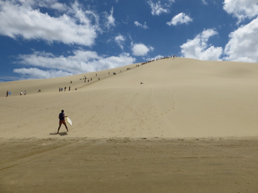
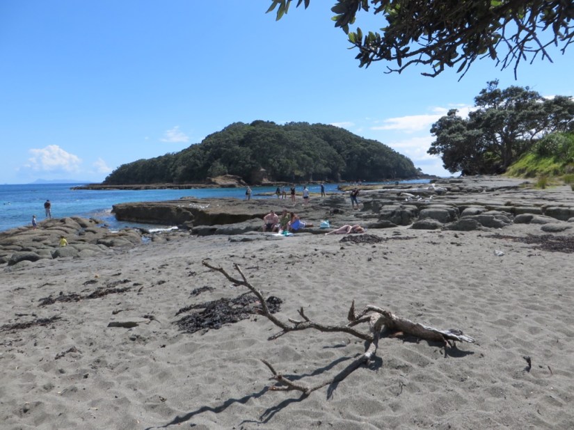
Next stop was the Te Paki Stream, where we climbed to the top of the sand dunes with our boogie boards and sandboarded down … great fun, I went further than Chris so the Peru sand boarding champ still reigns!
Back to the coach and we drove onto Ninety Mile Beach, which is officially part of the state highway system, for our return down the peninsula. We were surprised how smooth the ride was, better than any of the roads here so far, and even less traffic! We did feel a little diddled though as the beach is only 55 miles long! Apparently it got its name as a horse could travel 30 miles a day and the beach took three days to travel, but horses walk slower in the sand, so it was shorter than they thought!
Well it’s a long drive south now so best get going …
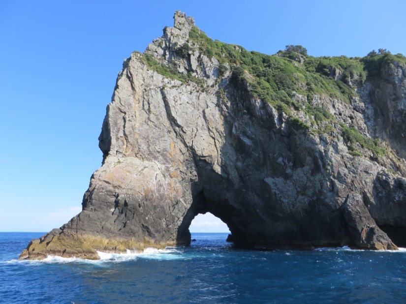
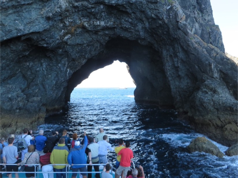
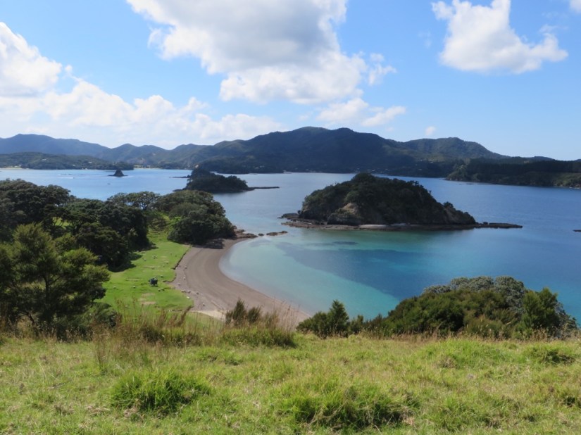 We set off from Paihia on our boat trip round the Bay of Islands and soon came across a pod of dolphins swimming back and forwards, in and out of the water. We had seen dolphins in Jervis Bay, but seeing them again here was a delight, especially as they seemed more playful, although just as hard to photograph!


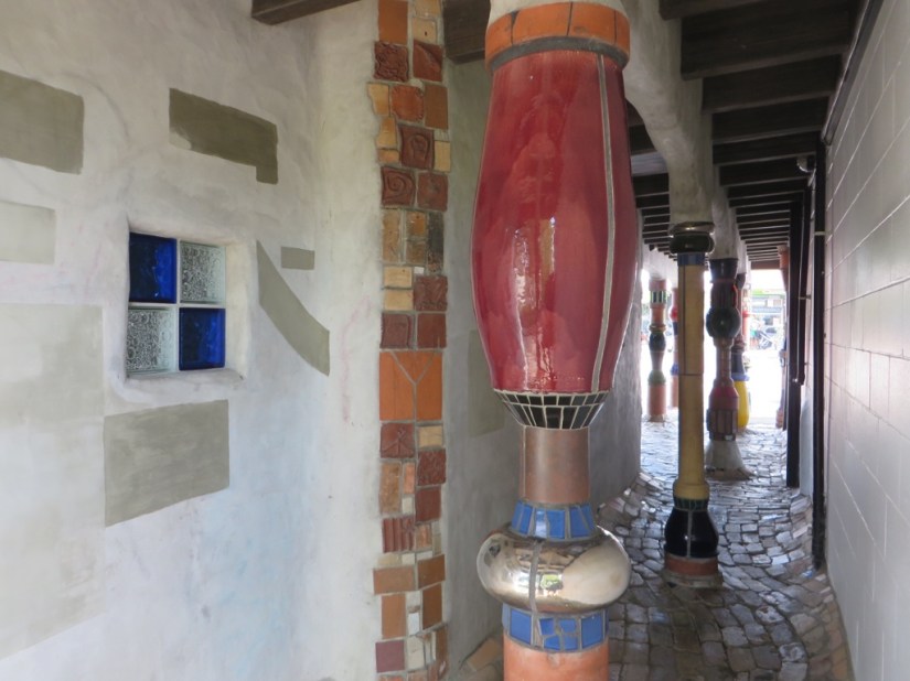
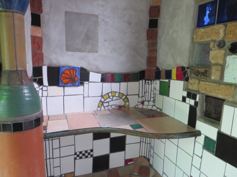
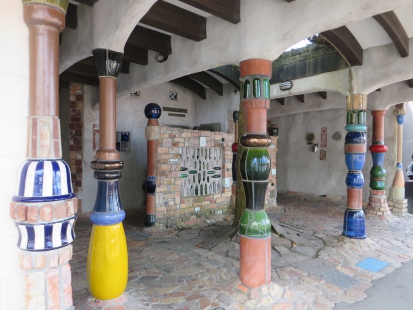
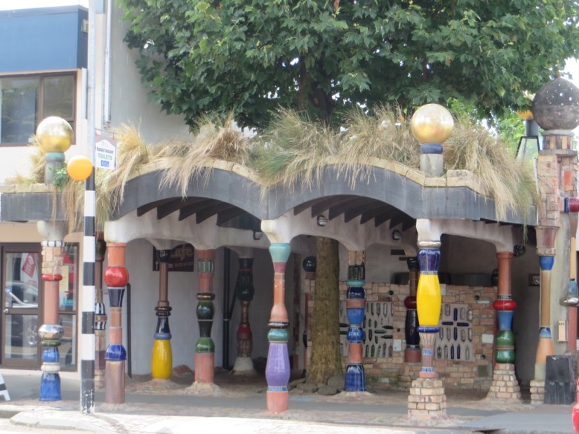 There aren’t many places that have their public toilets as their claim to fame, but Kawakawa is just that place! These works of art were created by Freidensreich Hundertwasser an Austrian painter, architect, ecologist and philosopher who made Kawakawa his home from 1975 till his death in 2001 where he realised his dream of living close to nature. He was largely self-sufficient using solar panels, a water wheel and biological water purification. The loos were his final commission, incorporating broken tiles, glass bottles and found objects into the design in a style reminiscent of Gaudi.


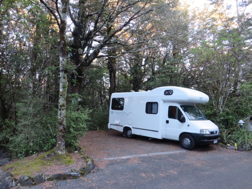
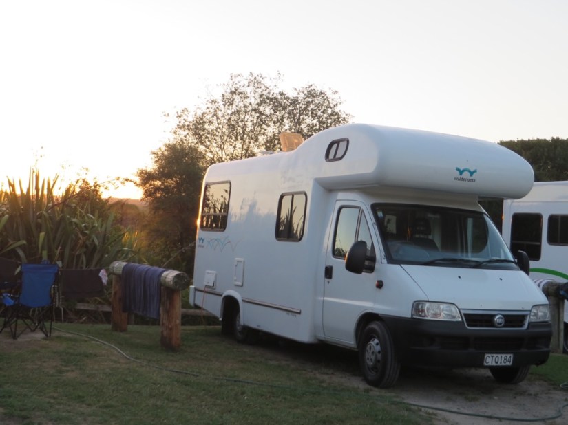
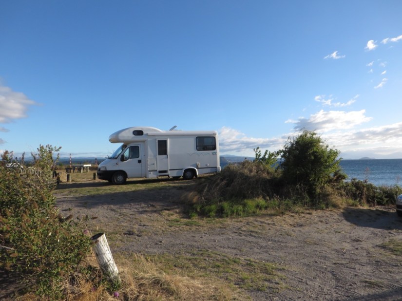
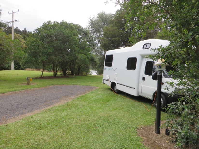
 We spent the rest of our day on a longer than expected drive to Whangarei so we can take our campervan to the menders. We have a leak in the bathroom, a water heater that isn’t heating and a kitchen drawer that we cannot shut as the latch has broken. Fortunately Wharengi is on our route and they can fit us in first thing in the morning, so we’ve booked into a holiday park in town, convenient but not the most picturesque, although there was a quirky camper!
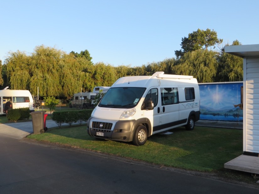

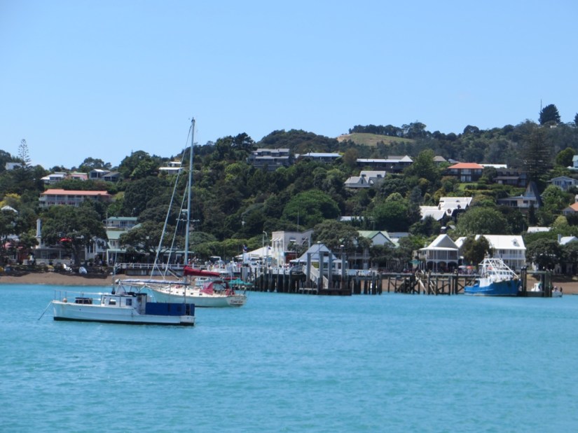
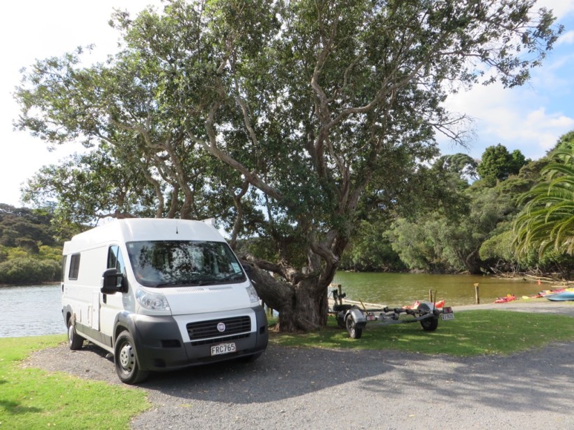
 We dropped Joanna off at Auckland airport, a little sad, but all of us with more adventures ahead. We returned to Wilderness to swap our larger 4-berth campervan for a smaller 2-berth model and had to squeeze all our stuff into smaller storage areas, but everything fitted fine, then we set off through Auckland, over the harbour bridge and North.


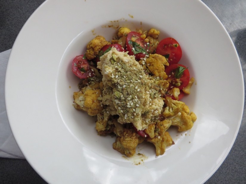
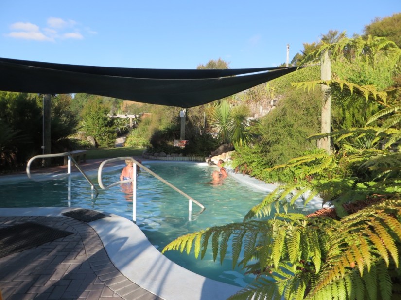
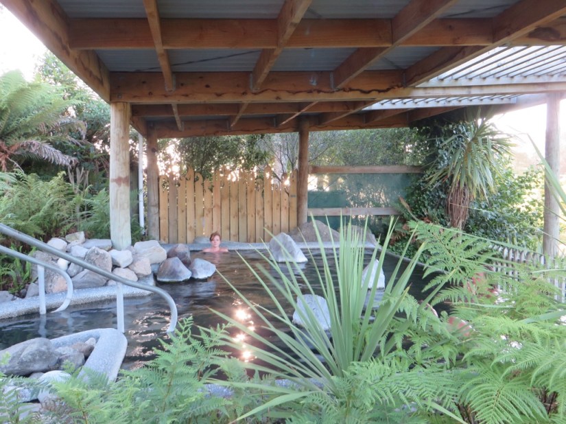
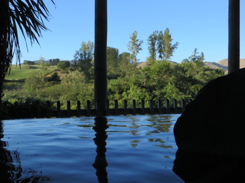
 We arrived in Waitomo in time for a delicious lunch at Huhu, a place we heard about while soaking in a hot pool a few days earlier. We shared several dishes including a roasted cauliflower salad with humus and little risotto balls with tomato sauce and looked out over the hills from the balcony.


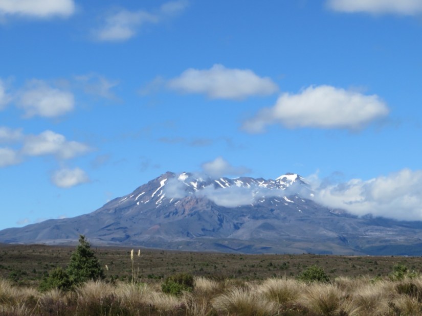
 In the morning, we could see our destination through the window … more volcanos … Mount Ruapehu on the left, Mount Ngauruhoe (aka Mount Doom) in the middle, and Mount Tongariro, smoking, on the right.
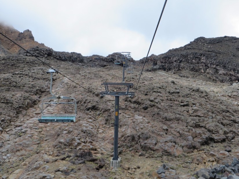

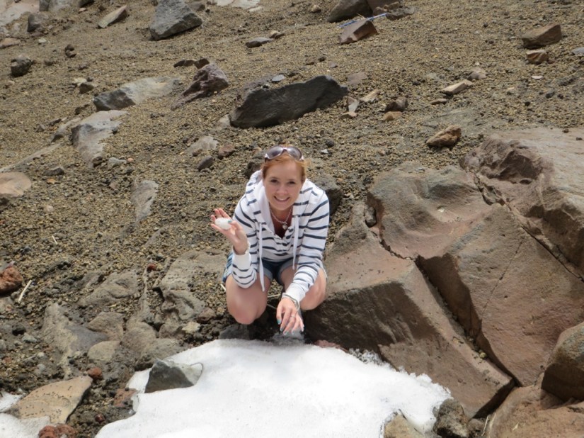

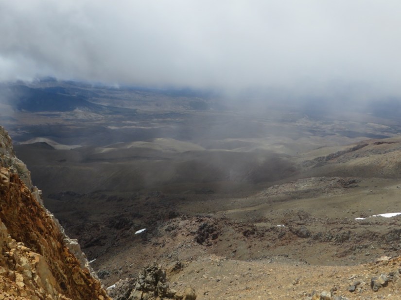
 The path crossed rocky scrub and heather and we were looking forward to good views of Mount Ngauruhoe, otherwise famous as Mount Doom from Lord the Rings, but cloud obscured the summit throughout.

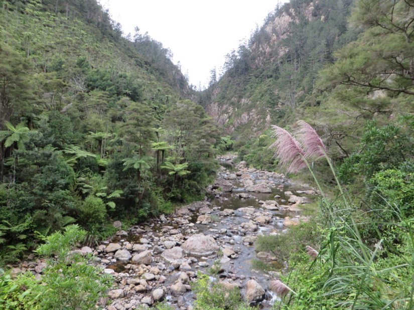
 We visited several places involved in the Coromandel gold rush at the end of the 19C


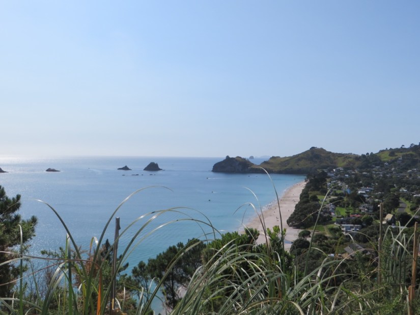
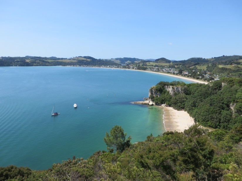
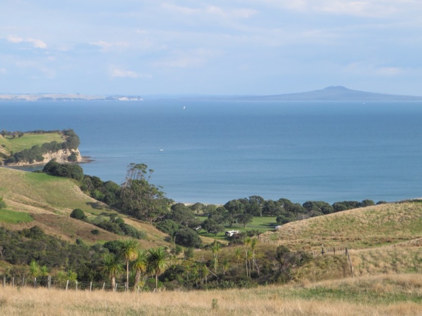
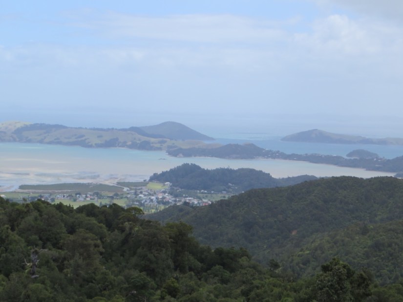
 As we drove up the west coast of the Coramandel Peninsular through Thames and on to the town of Coromandel, the road hugged the coast with another pretty bay after each headland, one called Thornton Bay. We then cut inland, over the peninsula to Whitianga.
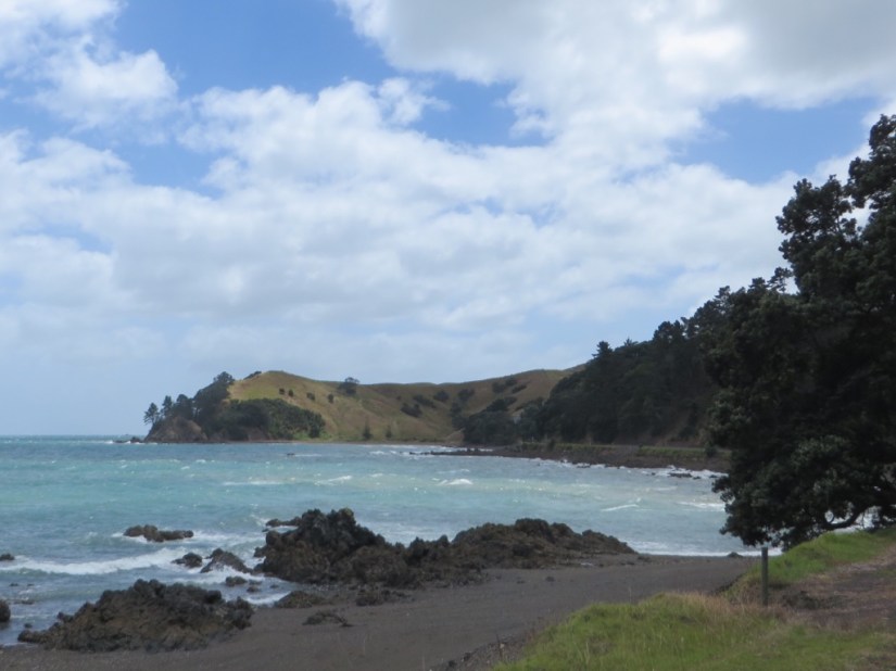


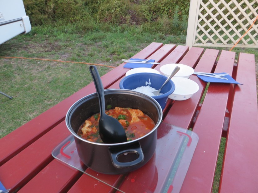
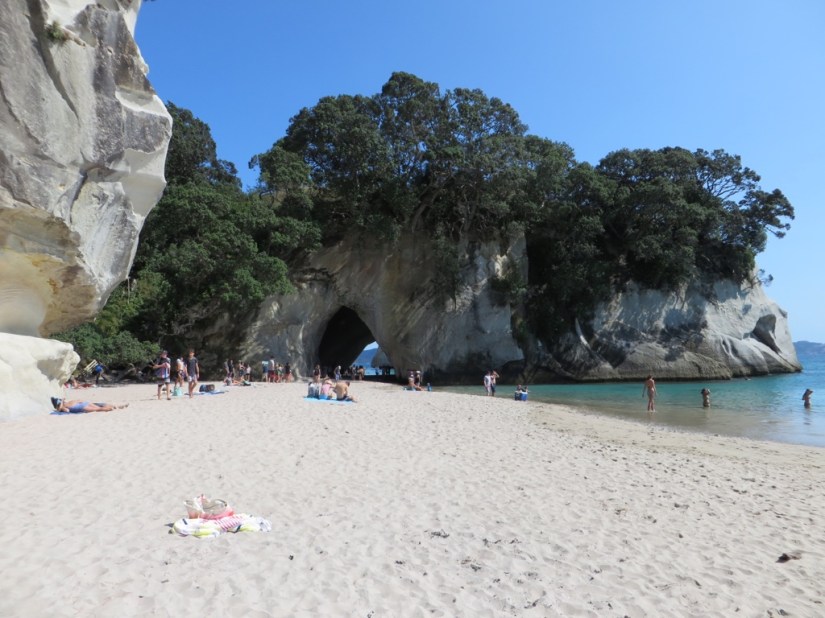
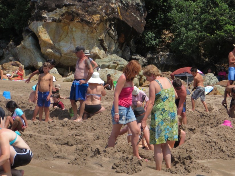
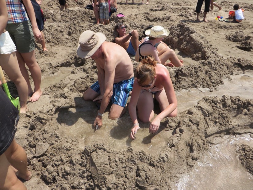
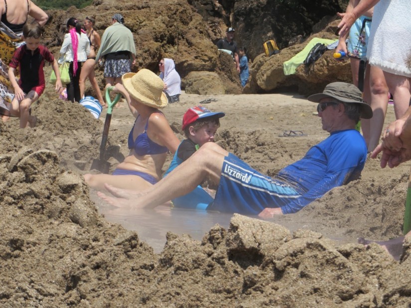
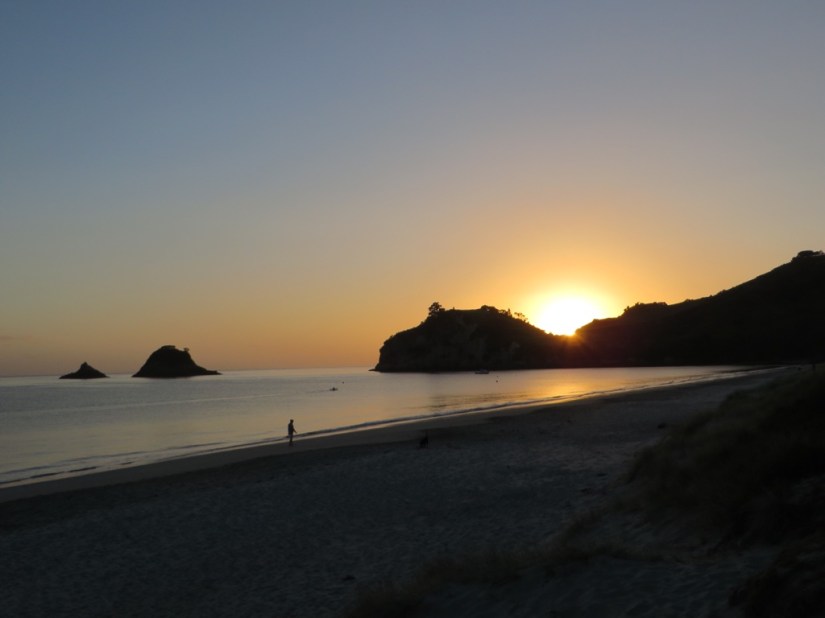 This was our base for three nights as we enjoyed the warm sunny weather, explored the nearby coast and continued to cook up home fare on our 2-ring cooker