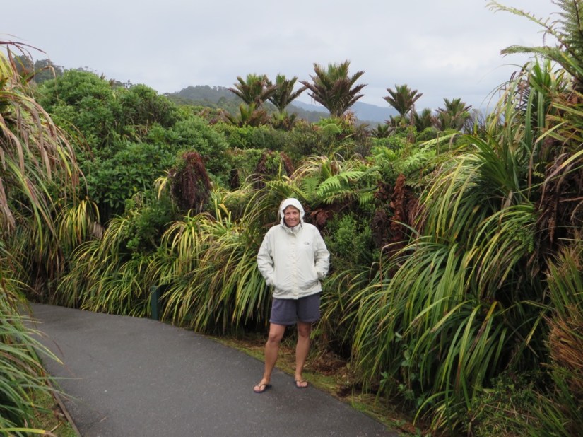
We woke to more rain, not as windy as the night before but very wet! No signal so can’t check the forecast, but it looks set in for a while so we decide to drive to Hokitika where we should get a signal and check the weather and make a plan. On arrival the rain has stopped, although clouds hang heavy inland where we had been intending to go. The weather looks drier for the next two days so we decide to look round town then press on south to glacier country, having booked a helicopter flight over the glaciers at 10.30 tomorrow morning.
There are two things to tell you about Hokitika.

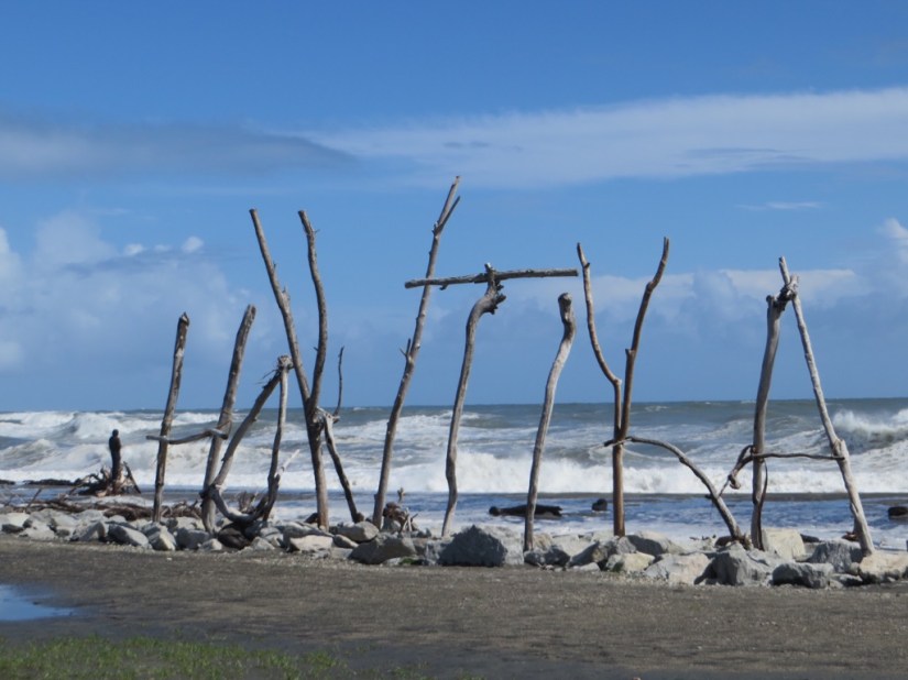
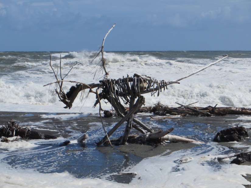
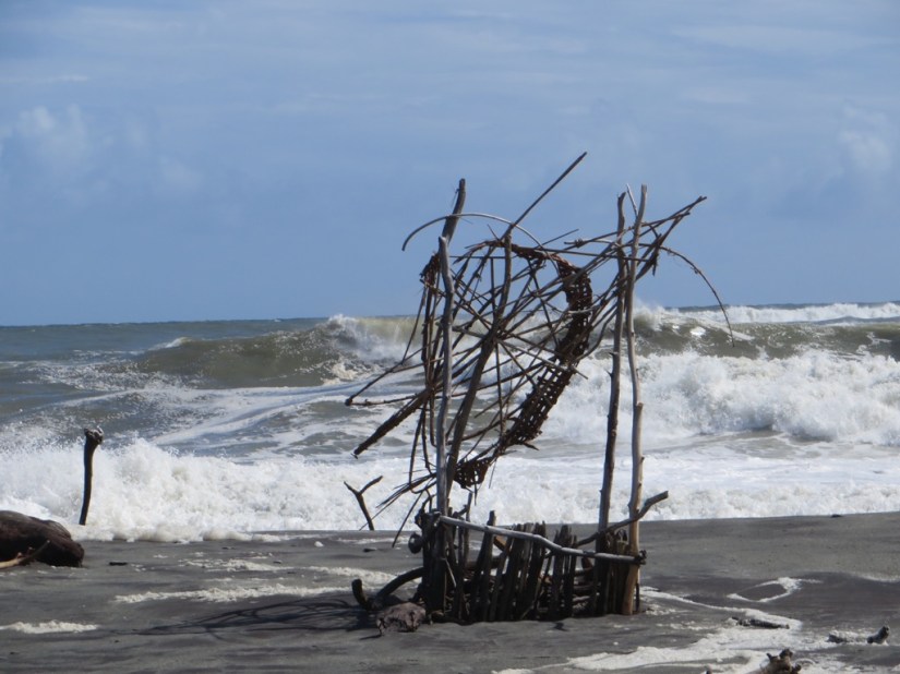
There have long been Maori in the area as pounamu or greenstone is abundant. This nephrite jade took the place of durable metals for the Maori, used both for tools and decoration, and today shops selling greenstone are big business with tourists. Also, the beach here ends up strewn with driftwood, which soon gets formed into artworks by locals and travellers alike.
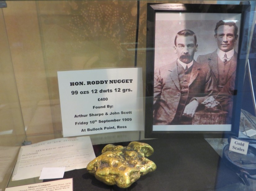
Pressing on we passed through Ross, famous for having yielded the largest gold nugget ever found in New Zealand, the 3.1kg ‘Honourable Roddy’, named after the Minister of Mines, bought by the government and given as a coronation gift in 1910 for King George V. Despite the fact that they had it specially mounted in an elaborate setting it was melted down to decorate a tea service!
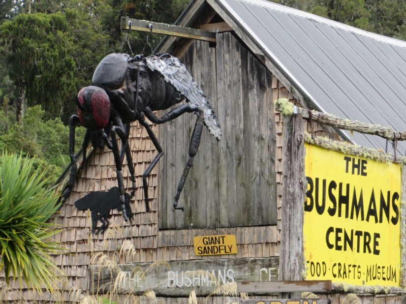
We also passed Pukekura, of no particular note except there is a model of a giant sandfly outside the local museum, which we photographed as it is becoming the bane of our lives … well to be honest they get Chris more than me, but the bites certainly itch!
Arriving in Franz Josef, we checked in to The Rainforest Retreat and crossed our fingers …
We woke to the whirly sound of helicopters and bright blue sky!
 We were so excited and while we waited for our flight we looked round town and saw lots of activities at the glaciers, all vying with one another trying to claim our tourist dollar!
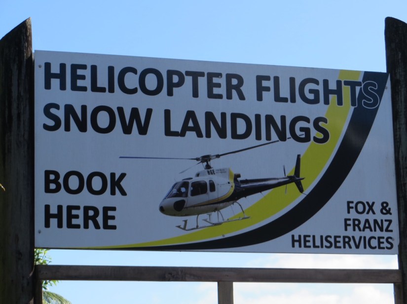


Our trip was in a small helicopter which we shared with a family of four from England, the lady especially excited as it was her 40th birthday!

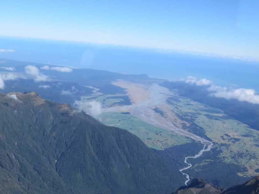
We took off and flew over Fox Glacier first, then looked towards the coast seeing its melt waters heading to sea.
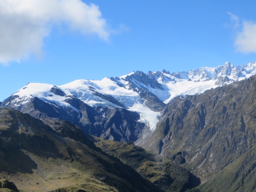

We flew higher, reaching 12,000ft, with views of Mount Tasman …
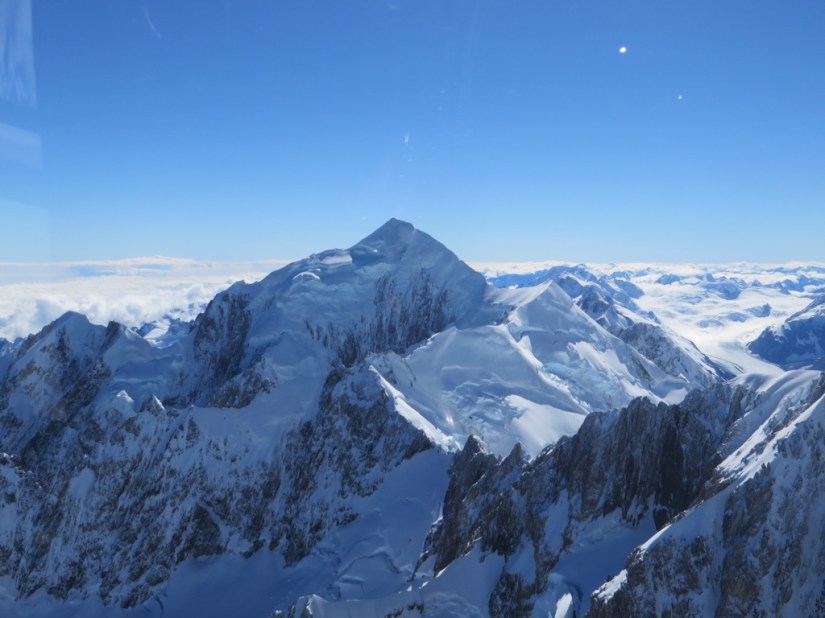
… and Mount Cook …
… and Lake Pukaki …

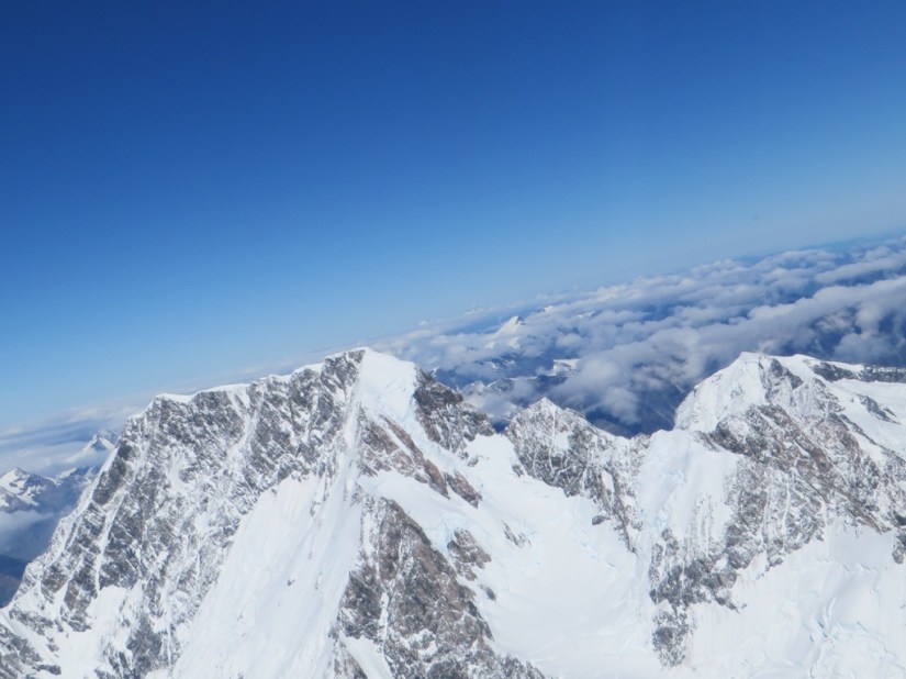
… then landed on the Franz Josef snowfield where we were able to get out and take pictures. It was all so amazing, so white, so sparkly, so huge!


We made our way back over Franz Josef, with its much wider trail of meltwater and moraine, and the township on the right where we landed. The whole experience lasted 47 minutes and it was so special.


Franz Josef (named after the Austro-Hungarian emperor) and Fox (after the British prime-minister), with Tasman, are the three largest glaciers in the Southern Alps which push down through rainforest to the coastal plain. They move 2-3 metres a day in the fastest part of the glacier and receive 45 metres of snow a year.
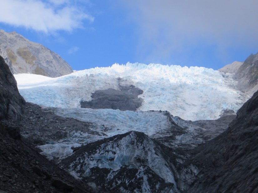
In the afternoon, we walked to Sentinel Rock to get a view of Franz Josef from below, then walked to the glacier face before the weather closed in again. The way the light was hitting the glacier, you could really see the ice was blue.

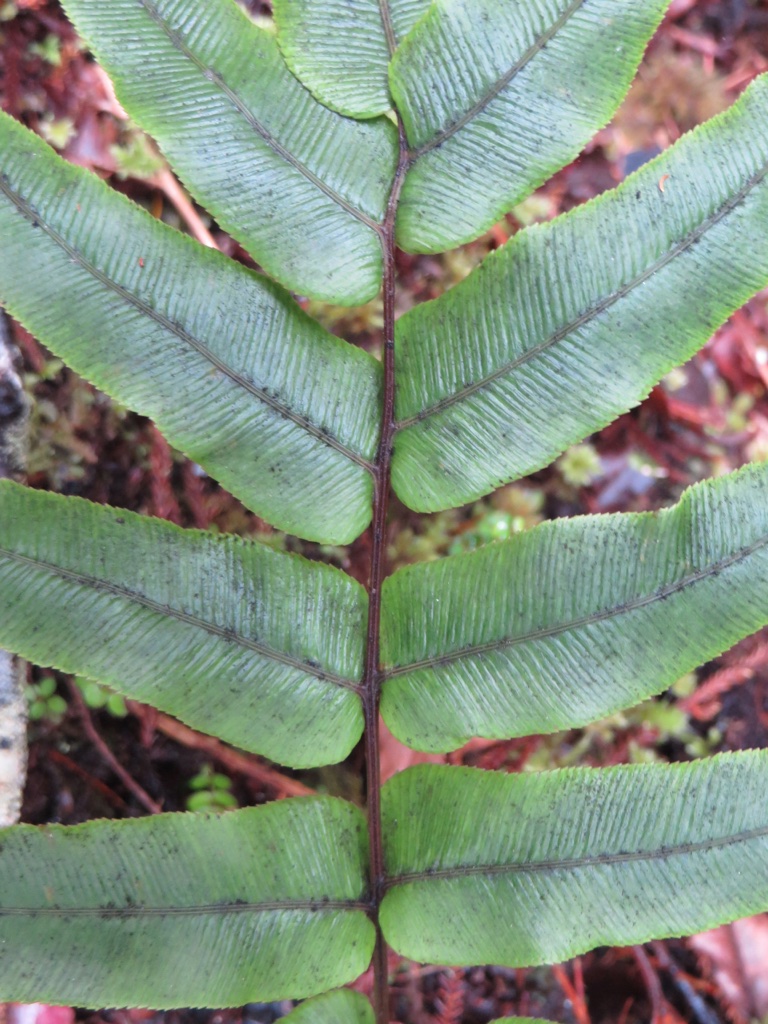
Chris wanted a go at the iconic photo of Mount Tasman and Mount Cook reflected in Lake Matheson but it wasn’t to be as the cloud was too low, but we saw some great ferns on the way!


Rather than taking a closer look at Fox since the cloud was so low, we pressed on.
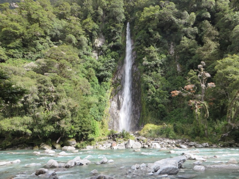
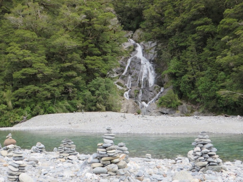
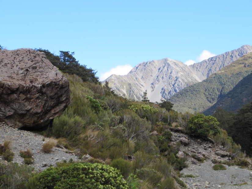
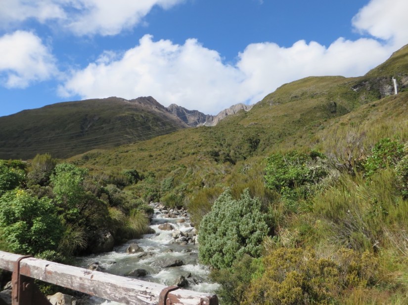
Our drive down the west coast came to an end with a final push along the Haast River and over the pass, stopping at some pretty waterfalls and blue pools and staying overnight at Cameron Flat overlooking Mount Brewster.

Tomorrow we will be over the Southern Alps and into Otago.
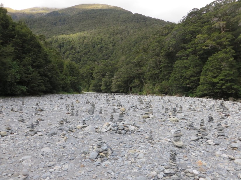
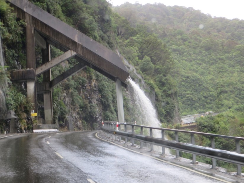
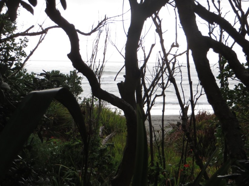
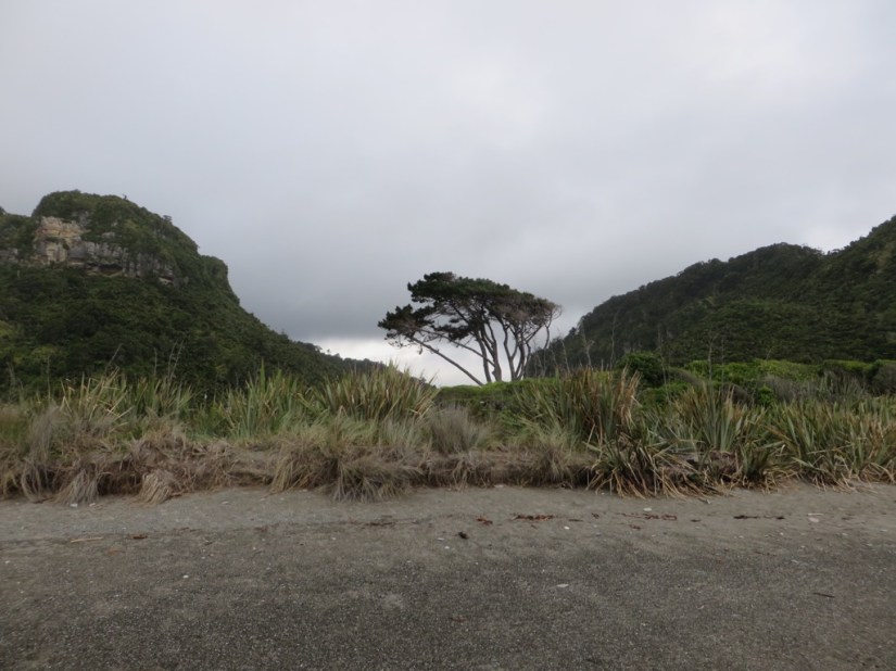
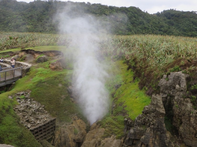
 The West Coast is a narrow strip around 30km wide between the sea and the Southern Alps and today we went to take a look at Arthur’s Pass, the most dramatic of the passes through the mountains. We continued down the coast with more rain and angry sea, then headed inland passing flooded fields, one with a farmer in a bright yellow bodysuit rescuing his stranded sheep.


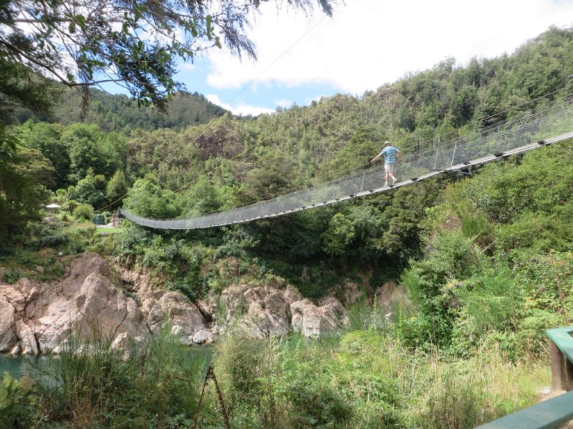
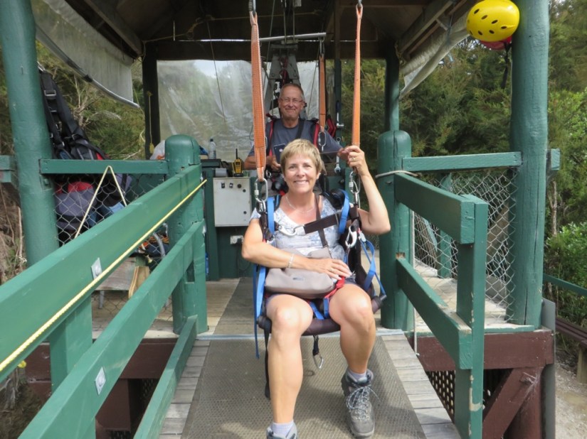
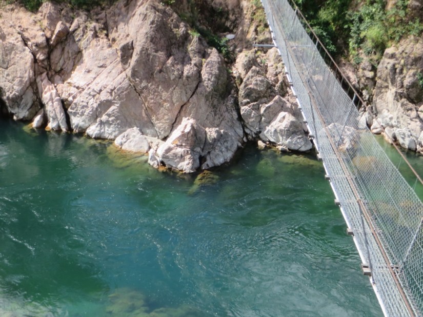
 The next bit of the trip is to drive down the west coast, hoping that luck will be on our side and we won’t be spending the whole time in torrential rainfall which can descend with tropical intensity for days at a time! So today we drove across and made one stop halfway at Buller Gorge, where we crossed New Zealand’s longest swing bridge, 110m, across the Buller river below. We went on a short bushwalk then returned on the 160m long zipwire which was fun!
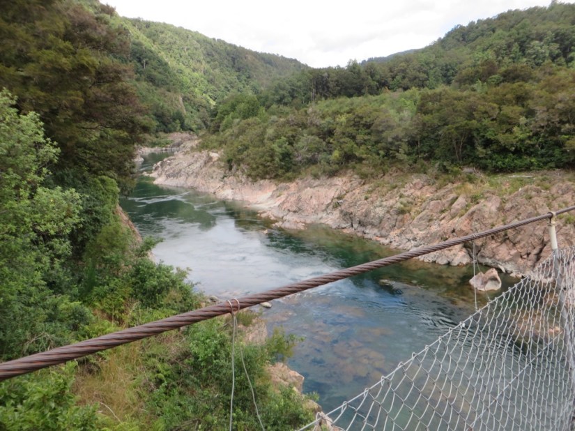


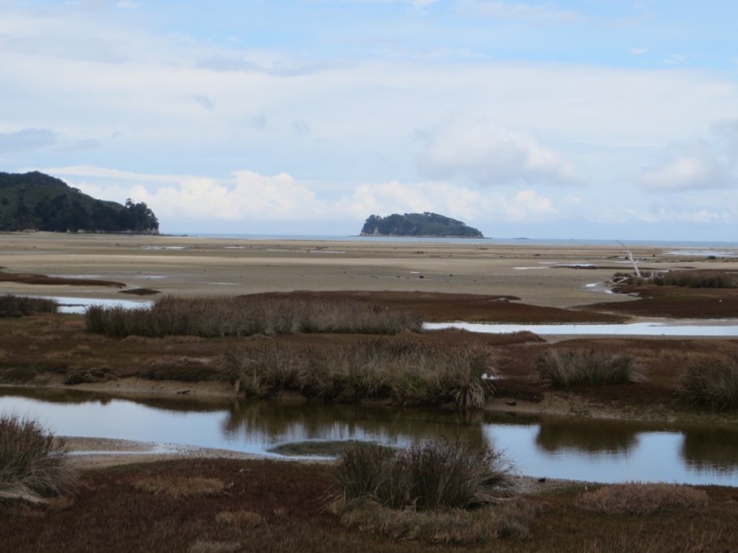
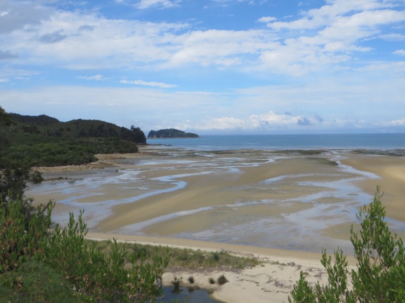
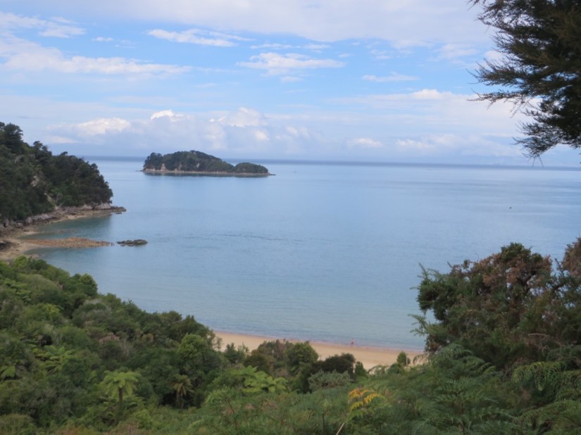
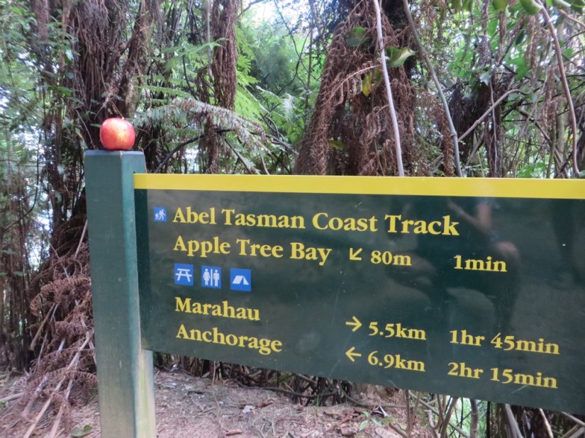
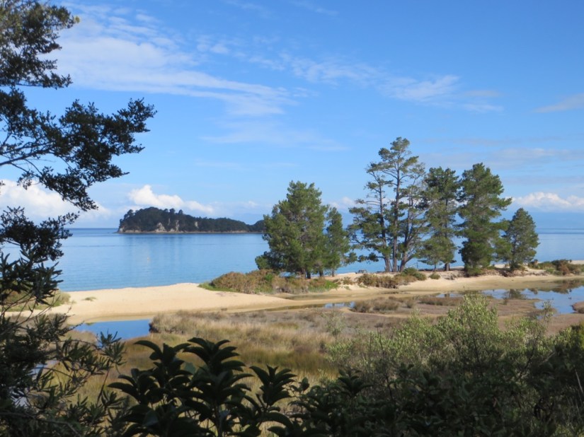 We had planned to stop a while in Nelson for a look or even tasting at a winery, but we had lost time with the van trouble again and had to choose, so continued through to Marahau at the entrance of Abel Tasman National Park where we camped at Old Macdonald’s Farm.
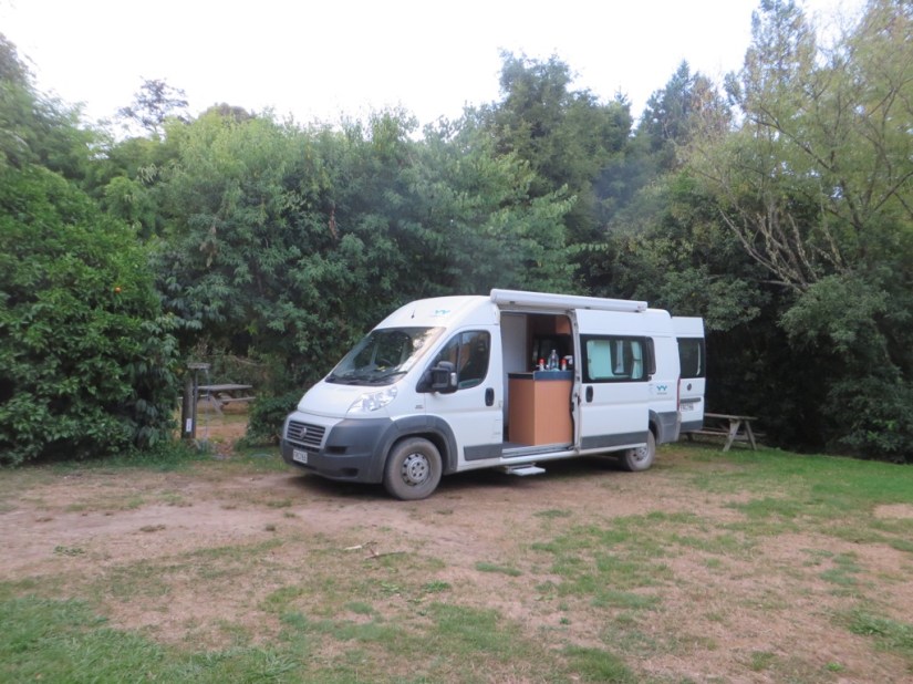
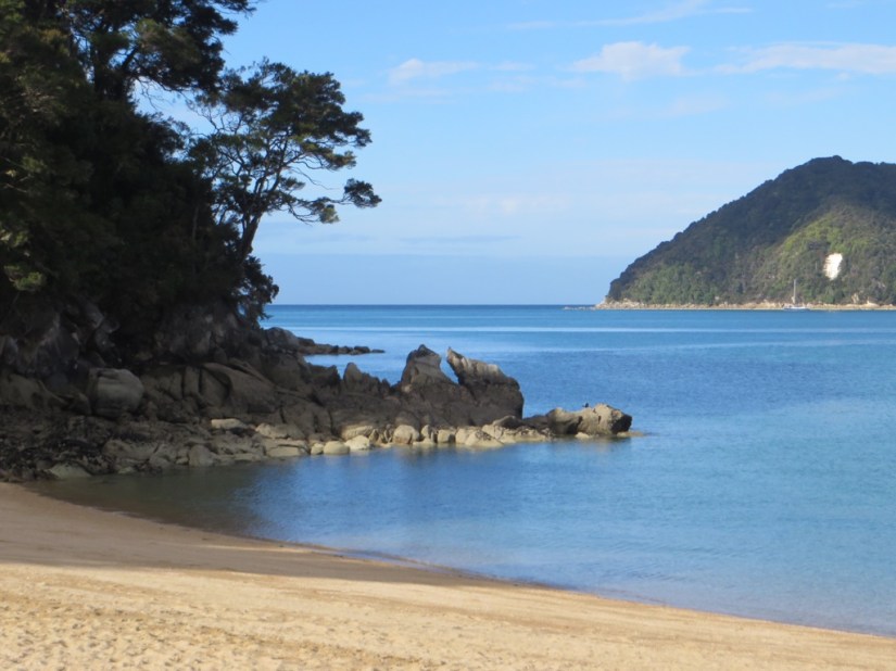
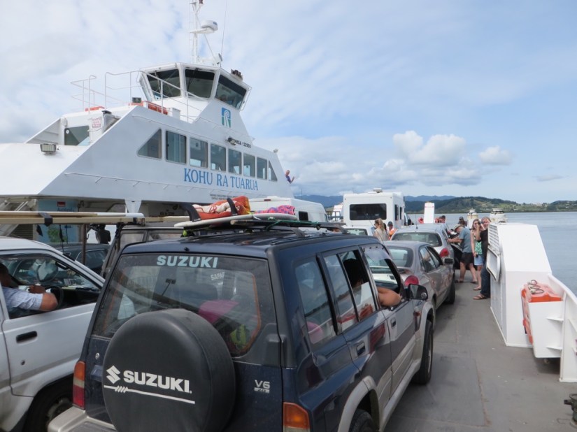
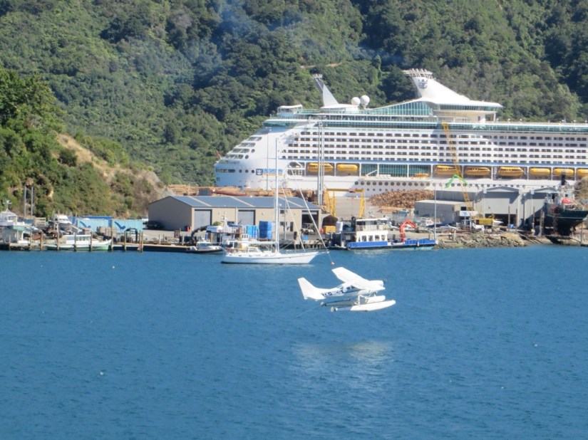
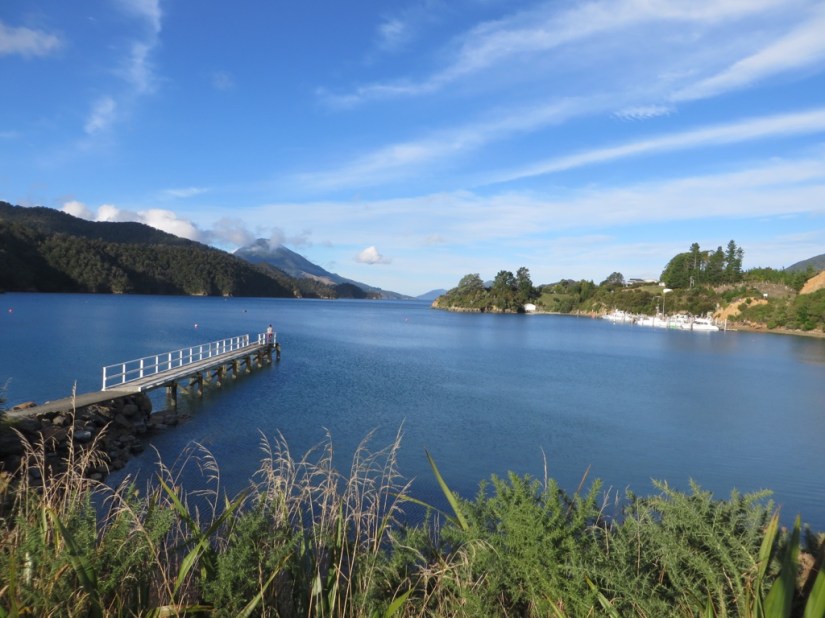
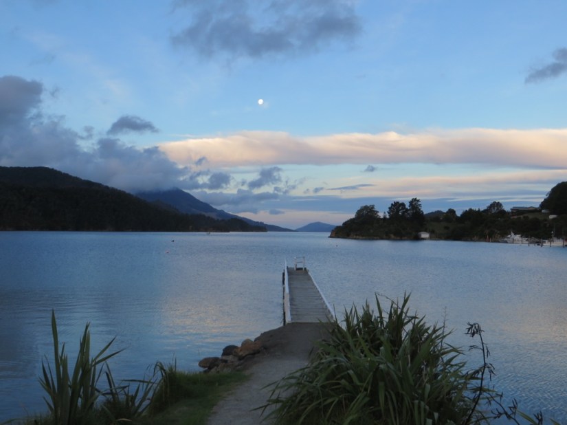
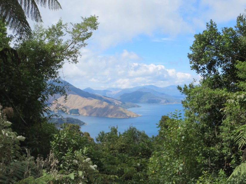
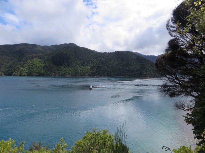
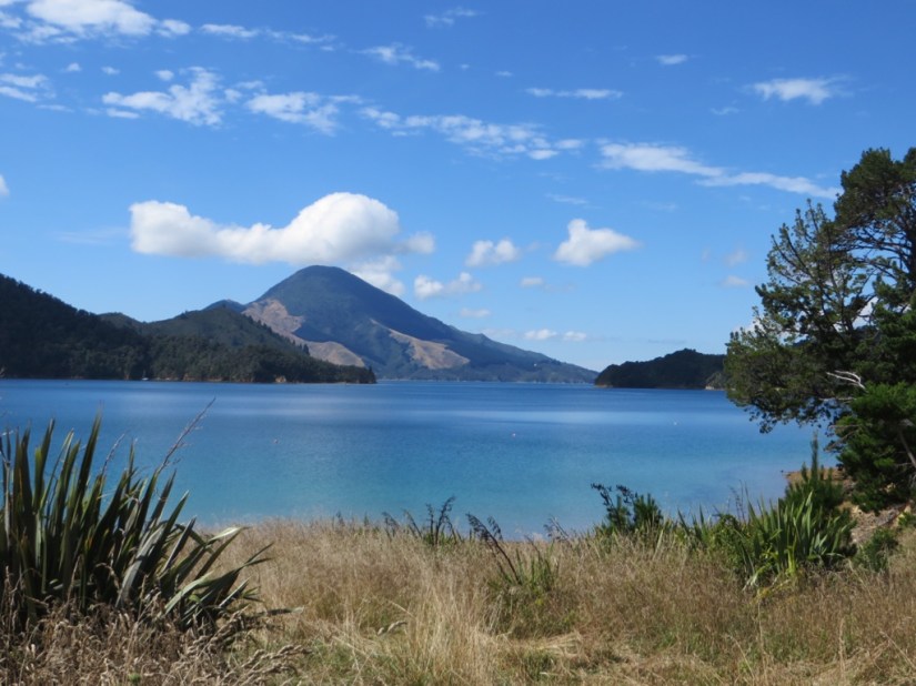
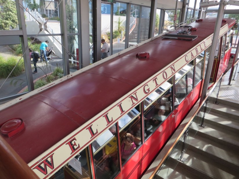
 We crossed on the family-run Bluebridge ferry and I can highly recommend their bacon and eggs for a good start to the day! Wellington harbour is huge so it seemed to take ages to clear land and head in the the Cook Strait, where we were accompanied by dolphins for a while. We were lucky to have a calm sunny day, and before long we had entered Queen Charlotte Sound and were making our way between forested headlands and inlets with bright blue water.


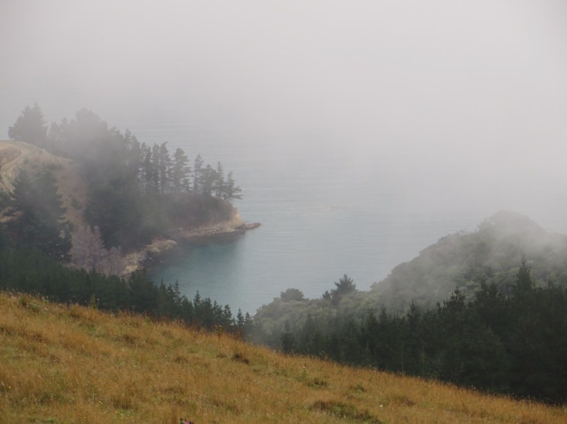
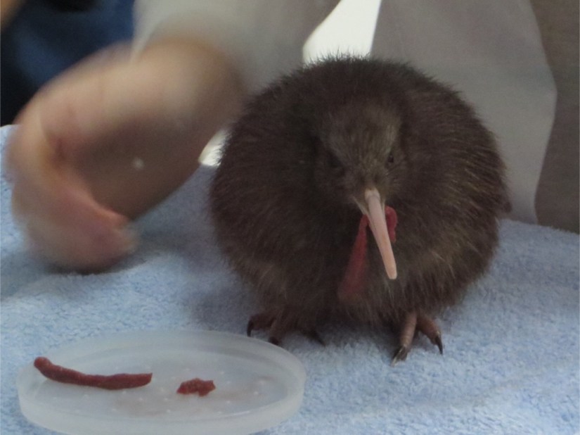
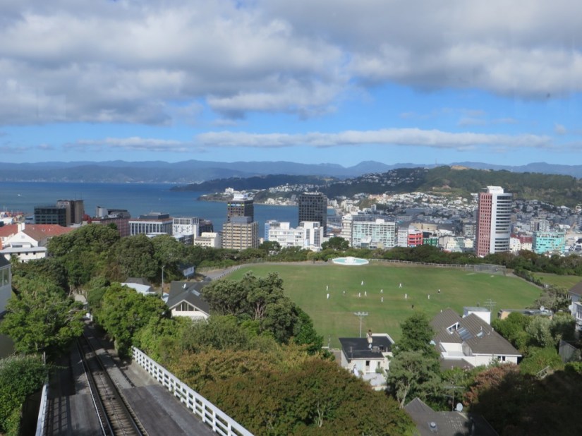
 We walked to the lookout to take pictures and also saw a weka, the most common flightless native, a little like a kiwi but with shorter beak and not so shy!


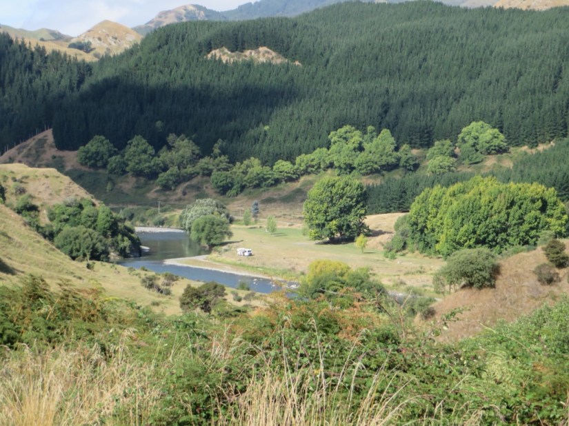
 We spread the drive over two days, passing several small towns on route and stopping one night in Pahiatua on the way.

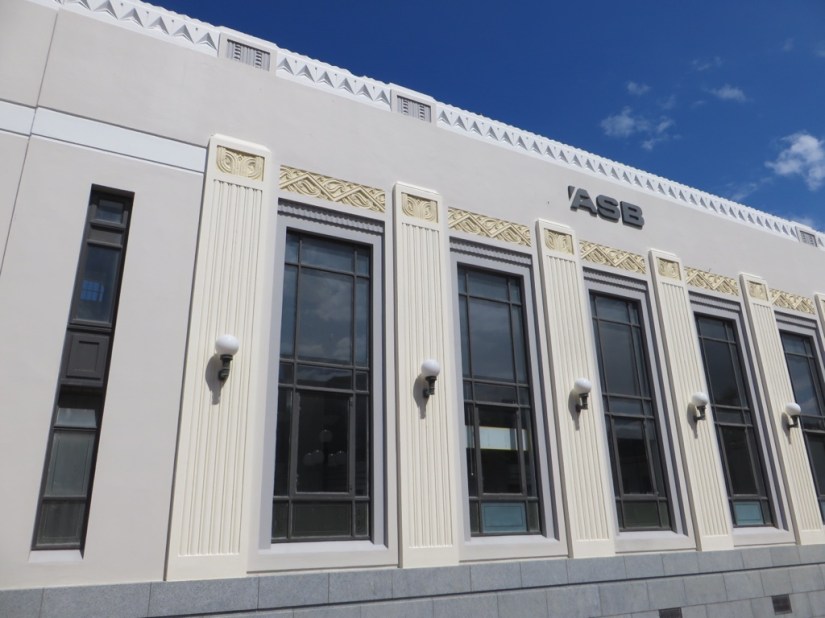
 Everything changed at 10.47 on the morning of 3 February 1931 when an earthquake of 7.9 on the Richter scale devastated Napier. The main quake was followed by aftershocks and a fire that consumed everything. 258 people died in the bay area, 162 in Napier alone. The land buckled, leaving 30 sq km some 2m higher and now no longer covered by the sea. Napier embraced the opportunity and planned a modern city of reinforced concrete drawing inspiration from Art Deco incorporating motifs such as fountains, chevrons and lightning flashes …
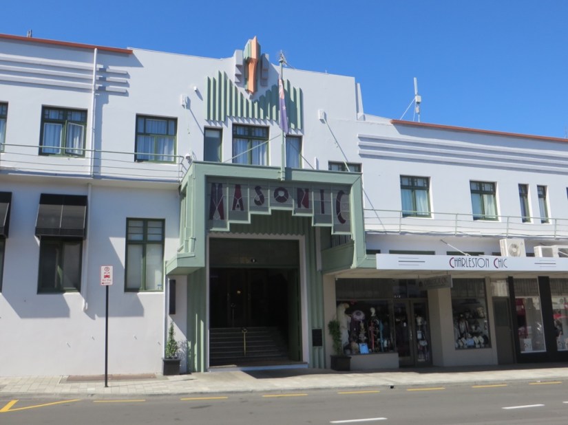


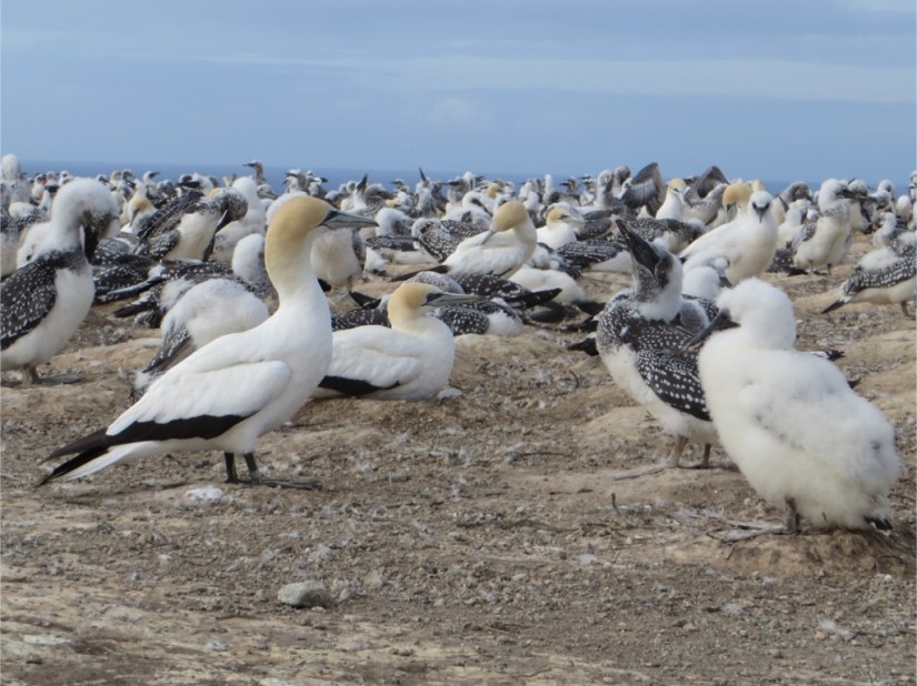
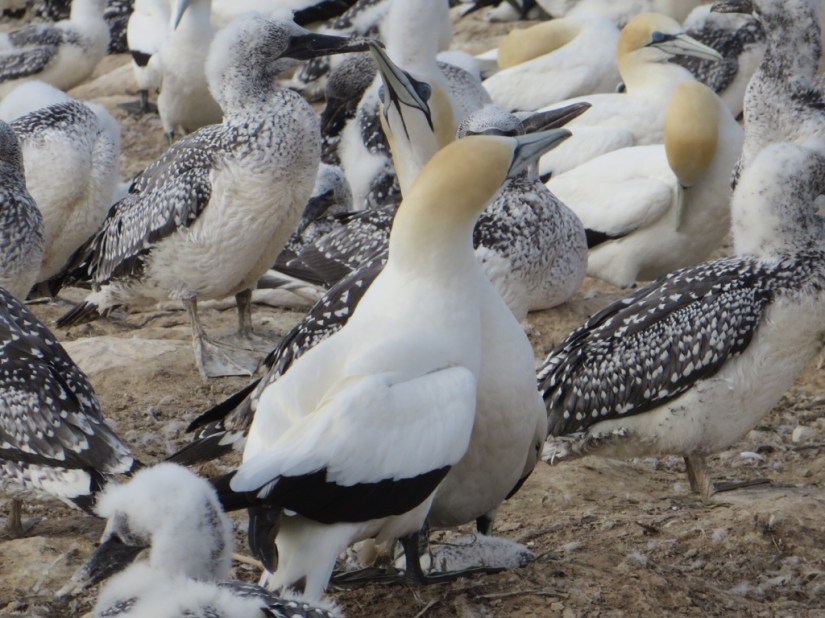 We reached Hawkes Bay, and drove to the headland beyond Napier. When Cook was moored here, Maori traders noticed two Tahitian interpreters onboard, and believing them held against their will, ‘rescued one’ who promptly returned to the ship, and Cook then named the point Cape Kidnappers. We took a tractor ride down the beach with Gannet Beach Adventures, which was great fun and saved a long walk.
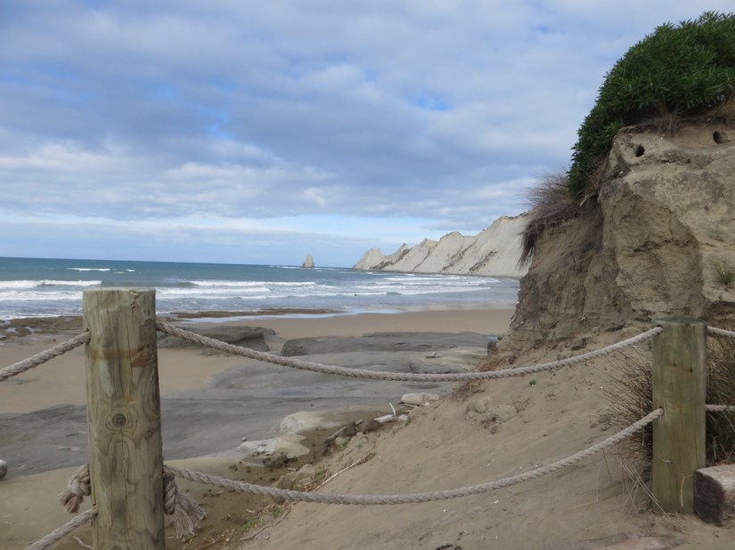


 We left the Kauri Coast and had some 500km to our next destination, Hawke’s Bay. This took us across the centre of the North Island where we had done our two-week loop with Joanna, so we had already visited everything we were planning to see.


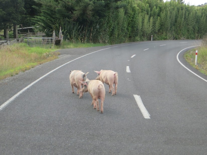
 If we hadn’t needed to slow up for the piggies … on their way to market perhaps … we wouldn’t have missed the ferry … never mind, just another opportunity for a cappuccino!