
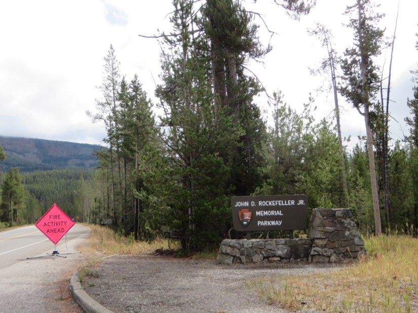
We were keeping our eye on the news as Yellowstone has been badly affected by forest fires lately caused by lightening strikes. The Maple fire (45,000 acres), was within 4 miles of West Yellowstone, but the park entrance remained open, while Berry fire (21,000 acres) caused more disruption to tourists closing the road between Yellowstone and Grand Teton for a time, but it has now reopened. We saw signs of the fire as we drove between Yellowstone and Grand Teton along the John D. Rockefeller Jr Memorial Parkway.


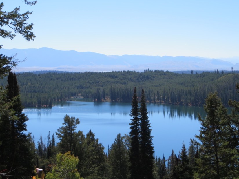
We reached Grand Teton, stopped for a picnic lunch overlooking Jackson Lake and mountains beyond.


It was raining as we reached Colter Bay so we watched a presentation about grizzly bears which was really interesting before checking into another retro cabin. This one was originally built in 1922 then moved to its present site and fitted with mod cons in 1956. We were amazed to find free wifi in the public areas as well as a bar with wonderful huckleberry margaritas and Grand Teton Amber Ale. The food was excellent too!


Our luck with the weather didn’t last – there was rain all night, and this morning and the temperature was down to single figures. Rather than a 6 mile hike in the rain, especially since there were limited views with the Tetons shrouded in cloud, we went hunting!
Firstly we drove down Pilgrim Creek …

… a favourite hangout for Grizzly Bear 399, the most famous grizzly of The Tetons, with her own Facebook and Twitter accounts! She has learnt that if she brings up her cubs near the roads, they are unlikely to be attacked by male grizzlies. The down side is that they are in more danger from cars and unfortunately her cub born this year was run over. Without a cub to look after, she can travel more freely and we didn’t see her.
Next we went on a moose hunt down Antelope Flats Road to a spot near a creek and willows which they favour, and were lucky to see a bull, cow and calf, at a distance in the trees.


We also checked out the beaver construction at Schwabacher Road …


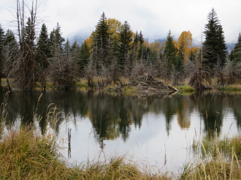

… and the famous Moulton Barn built by a Mormon family in 1912 …

… but all these pics would have been better with visable Tetons in the background – maybe tomorrow! Finally we headed out of the park to Jackson, home to the National Elk Refuge where some 7,500 elk spend winter. They shed their antlers annually and the Boy Scouts of America have been collecting the antlers under permit since the 1950s, selling them at auction with proceeds going to feed and manage the herd. Some are also used to construct the antler arches than surround the town square.

We are spending the night at El Ranchero in another cosy motel room with character and cowboy boots nailed up outside! We went for dinner at The Merry Piglets, a Mexican eatery, with cute pigs painted on the walls and delicious food and another marguerita!


Next morning, we were blessed with a sunshine and a clear sky so we headed back to the park to see the Grand Tetons in all their glory.

Before we had gone too far, Chris spotted a pair of moose in the sagebrush, who came closer to the road …

… dithered a bit …

then crossed right in front of us and headed off for breakfast!

Revisiting Schwabacher Road, this time we got photos with the mountains reflected in the beaver pool.


 We then hiked a 5 mile trail, through water …

… aspens …

… sagebrush …

… and through a puddle to a pair of glacial lakes.

Taggart Lake had great views across the lake and an even better one from up on the moraine, but Bradley Lake was obscured by trees and we returned in a loop. It was a lovely morning to be out walking and our effort was all the more worthwhile for the great views.


The morning gone, we had to move on – 2 National Parks down and 6 to go, but first we return to Idaho …
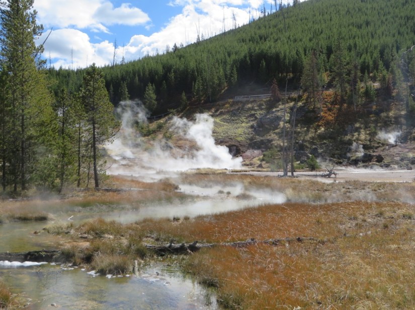
 The approach to Old Faithful came as a bit of a surprise, with a flyover, one way system, huge parking lots, three lodges and several shops and eateries.


 Morning dawned and we took coffee and buns with us to stake out Great Fountain geyser which was predicted to erupt at 6.30am +- 2hrs.














 What do you know about Avignon … maybe the song ‘Sur Le Pont, d’Avignon’ learnt in French class at school? Mind you it’s all a bit topsy turvy as the bridge is actually Pont St. Bénézet and the dance happened under the bridge and not over the bridge as it crossed a river island with pleasure grounds where there was frequent dancing. Not just that, but today there isn’t much left, as every time the Rhone flooded, the bridge weakened and had to be rebuilt and by the C17 they gave up and just four arches remain. The other thing about Avignon is that in the C14, seven successive French popes, beginning with Clement V chose to live in Avignon rather than Rome due to conflict between the Papacy and the French crown. The plan was to visit for the day and explore, but having taken ages to actually locate the huge car park, all 1400 spaces appeared to be taken! We drove out of town, catching a glance at that Pont!






 We made our way to Marseille airport, to the Golden Tulip where we are staying the night before our flight tomorrow morning. We still have our bottle of Gigondas which we are enjoying as we really shouldn’t take a chance with it in a suitcase! A bit of dinner later and our trip is at an end.
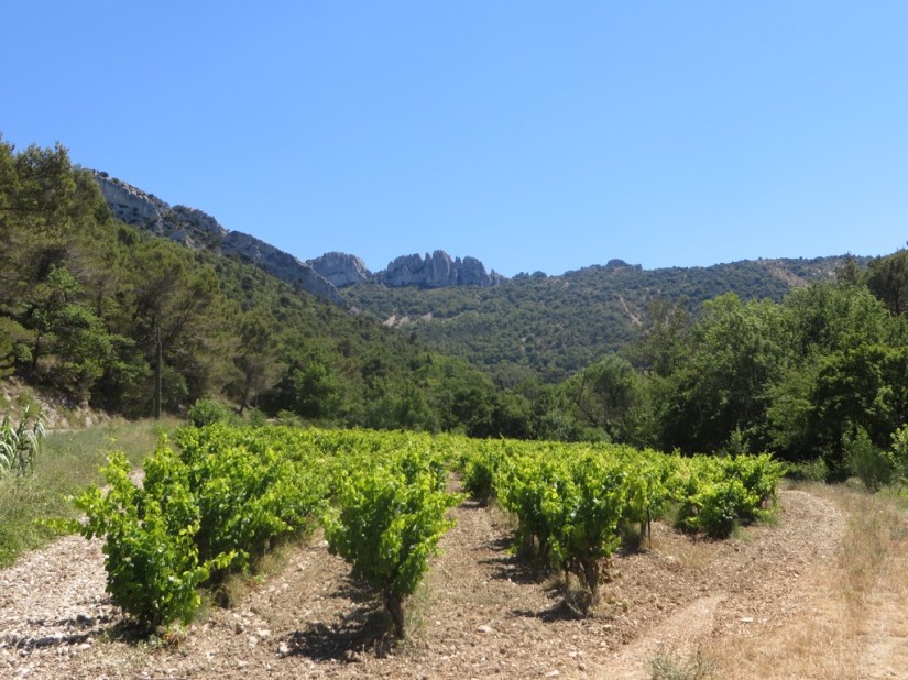
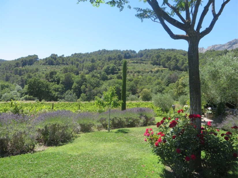
 The jagged hilltops which form the backbone of this area are the Dentelles de Montmirail, so called not because they resemble ‘dents’ or teeth, but ‘dentelles’ which means lacework as the pinnacles look like pins on a lacemaking board. Driving from Vaison, we made a quick stop in Seguret, another contender for the prettiest viallage in Provence, and it was pretty, but I think I must be suffering from pretty village wilt, as every time I raise the camera, it seems to be to take a photo already taken somewhere else! I can vouch for the lavender icecream though, very tasty and surprisingly white rather than purple.







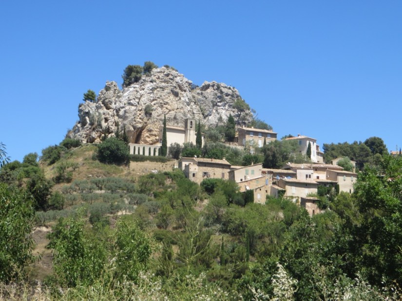

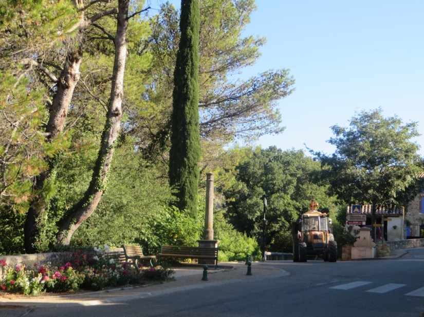


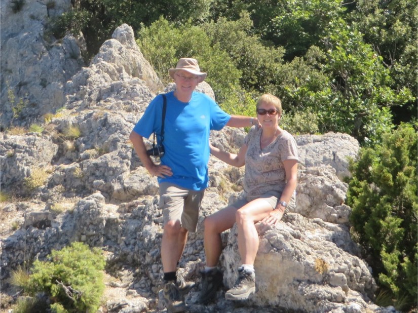


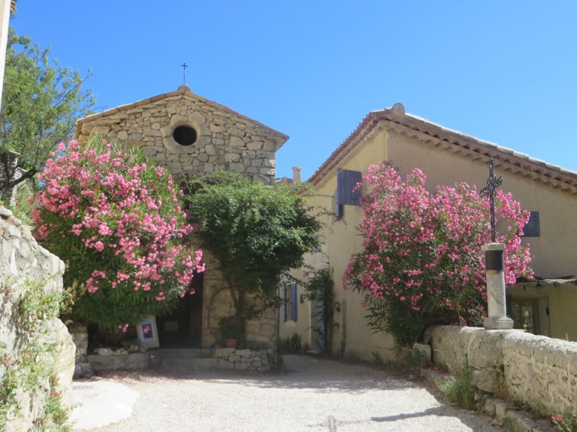
 Today’s drive took us first to Brantes …



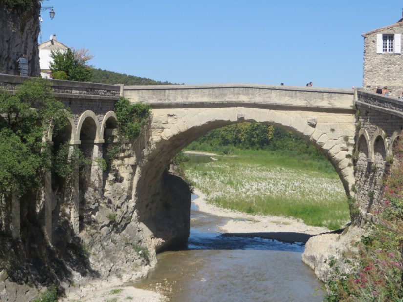
 Vaison-la-Romaine is a town with two parts, the medieval remains on a defendable rocky outcrop while the Roman ruins and modern town are in the valley by the river. The two parts are joined by one of five remaining Roman bridges in Provence, which survived being hit by a German bomb during WW2 and also the devastating flooding of the Ouvèze in 1992, which killed 42 people.




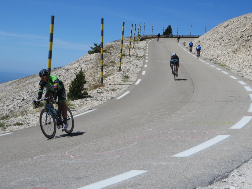
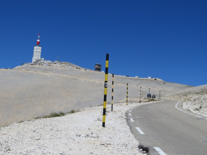
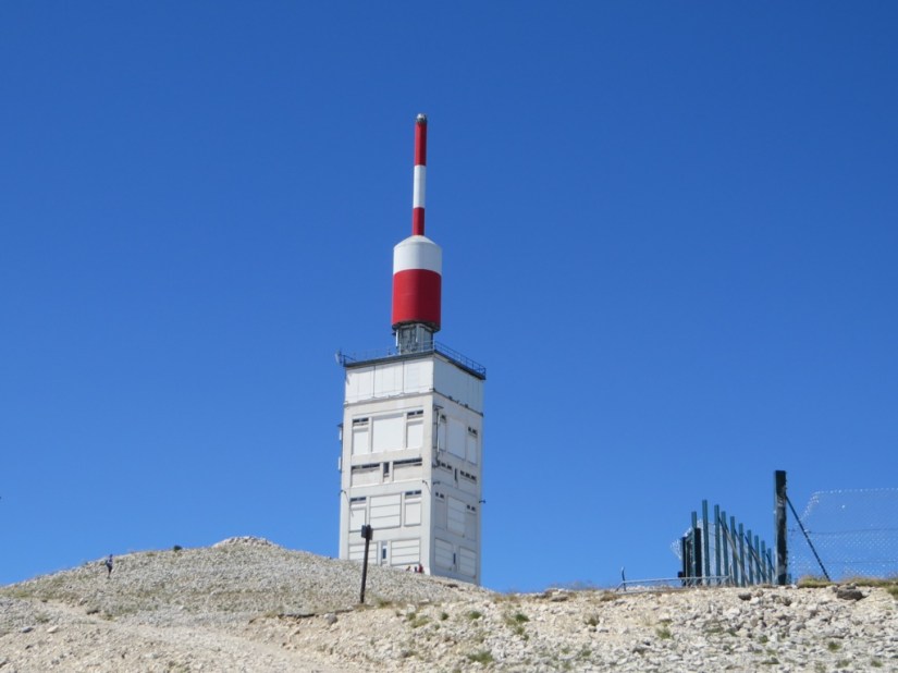
 Today we left the Luberon behind and our route took us into the Vacleuse and into view of Mont Ventoux, the largest mountain in the area which almost looks snow-capped as the summit is covered in limestone rubble with no vegetation at all. Adding to the bleakness, the mistral winds blow at over 56mph for 23 of the year. The Tour de France sometimes includes a climb to the summit and the race has ended there eight times, but little did we realise that it is also part of the route this year … today in fact! The ascent is up the far side so hopefully we won’t get too caught up in traffic, but some 500,000 spectators watched the race go by last time, and this year it is Bastille Day and a public holiday so it might attract more. Later, we found out that those very same mistral winds which have been blowing for a couple of days, have meant that the end of this stage of the race will no longer be at the summit, but at Chalet Reynard, 6kms lower.



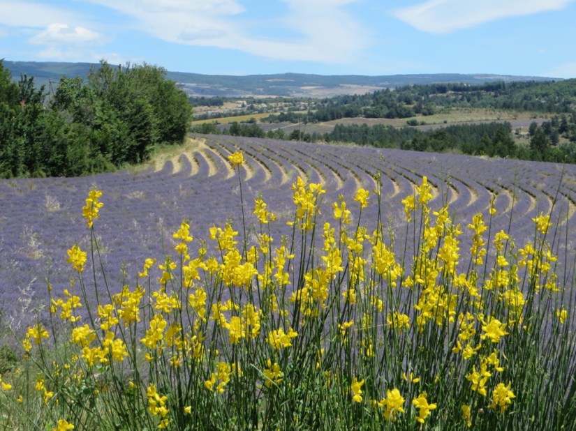


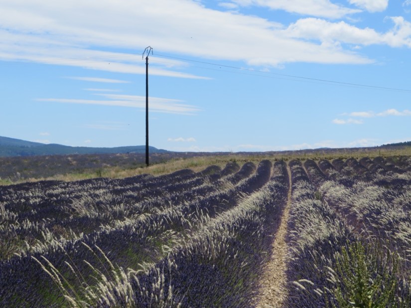

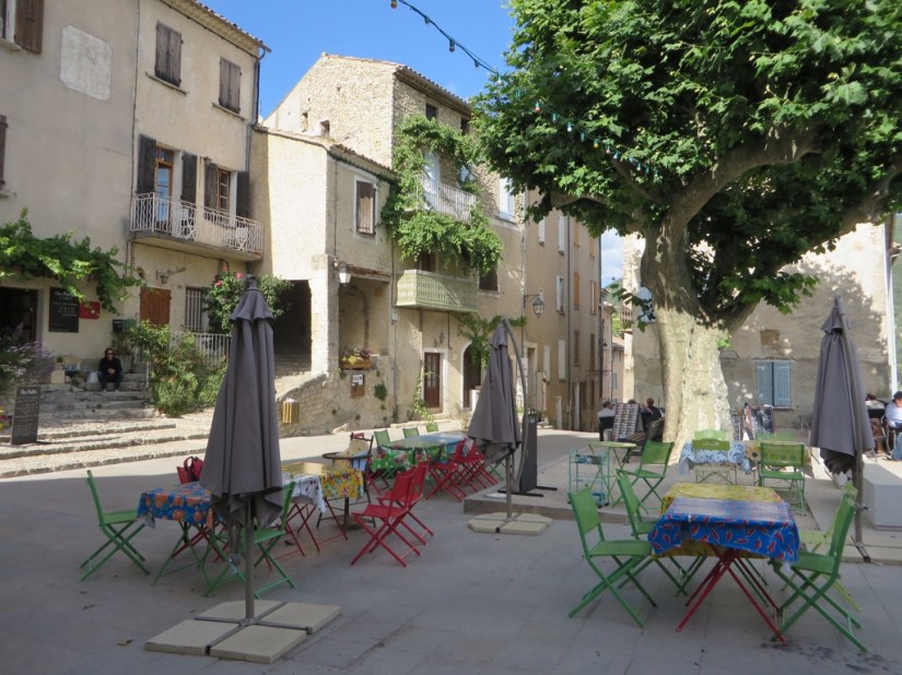
 Afterwards, we continued to Montbrun-les-Bains …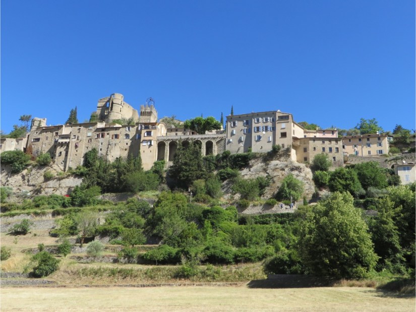


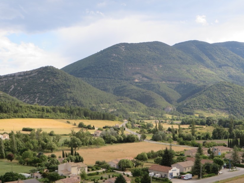







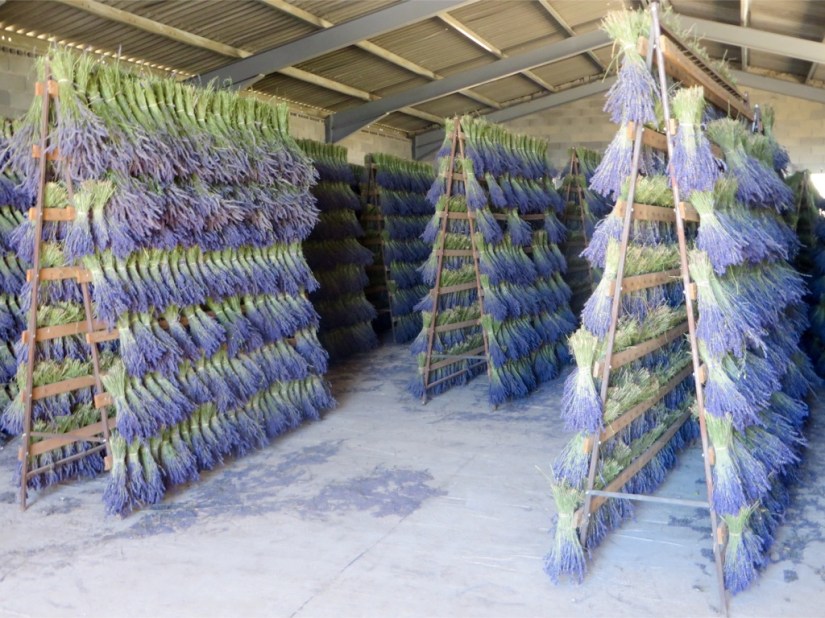
 Leaving the lavender behind, we now drive northwards.
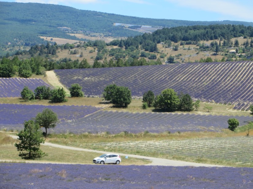
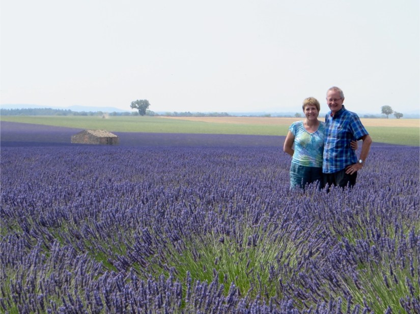
 Our drive today took us through the lavender fields of the Valensole Plateau although it was slow progress with all the photographing!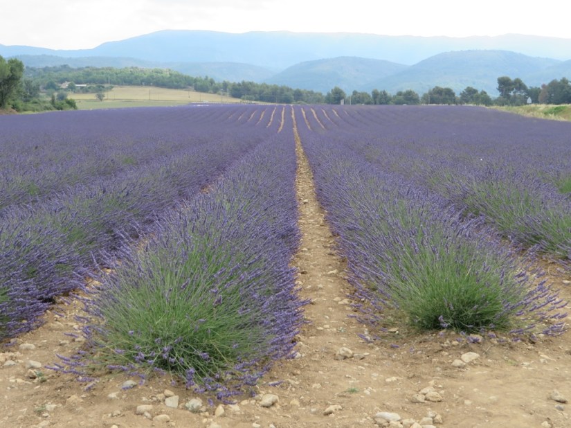










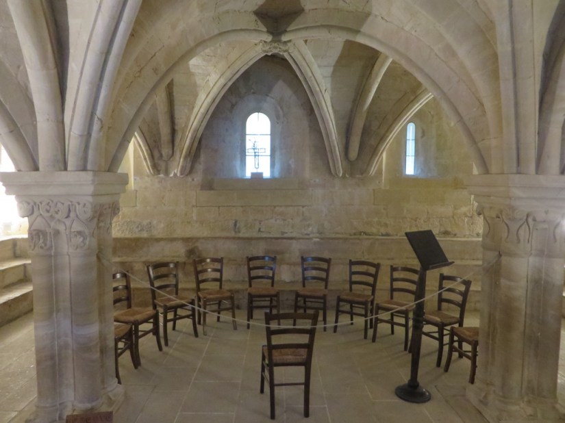


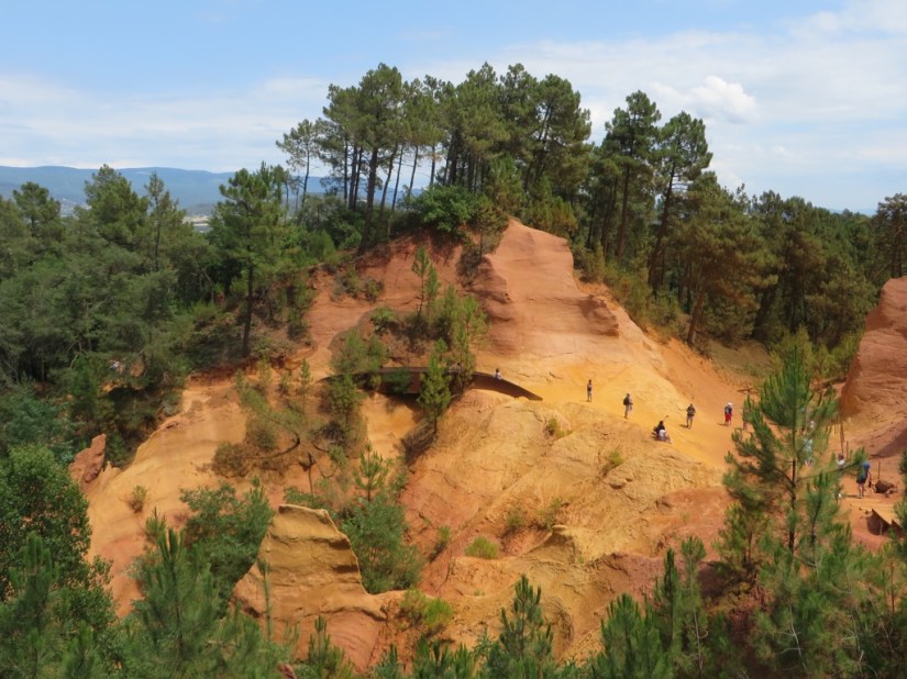




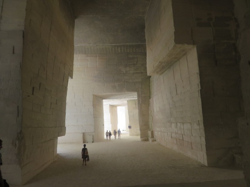
 We took a tour of the Mines de Bruoux, where tall arched entrances led to some 40kms of passageways, all of which had been dug out just with manpower and a pick axe. Fortunately our tour was only 30mins as it was only 10 degrees inside and we only had one fleece between us (Chris lent me his fleece!) but unfortunately we couldn’t take pictures inside.
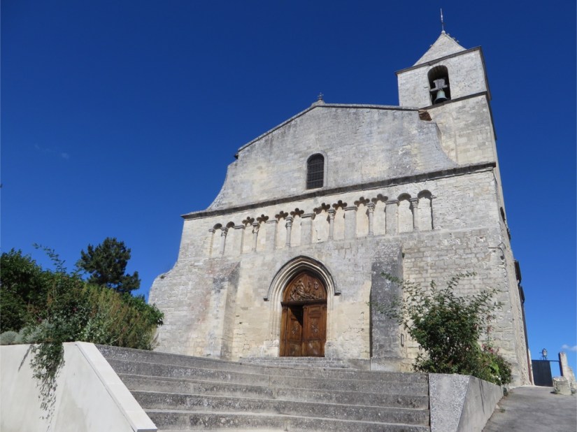


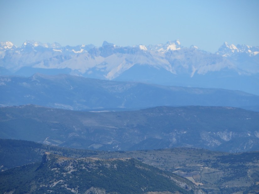
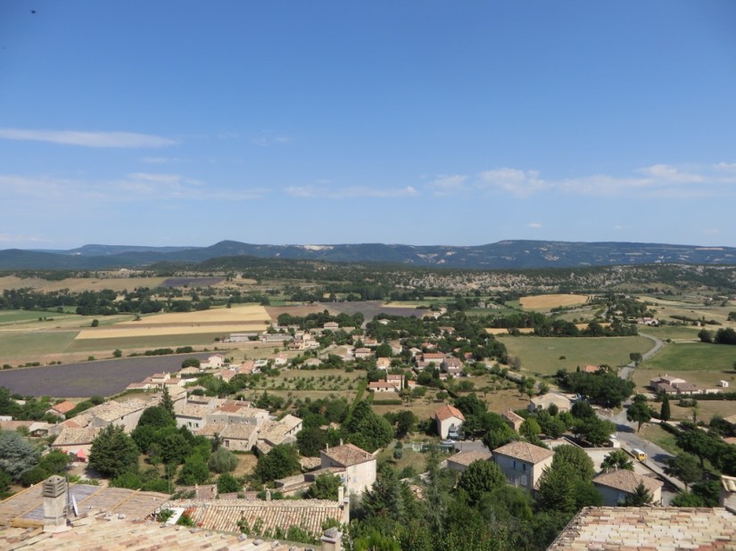
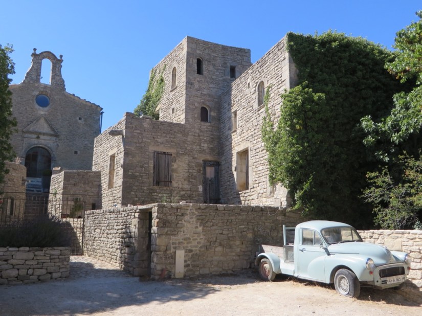 … which gives almost 360 degree views


