When I realised we would be driving past a house designed by Frank Lloyd Wright on the way to the airport and that it was one of the few open to the public, we just had to fit it in and I booked places on their popular tour months ago.
Wright believed in designing structures that were in harmony with humanity and the environment, a philosophy he called organic architecture. He was the pioneer of what came to be called the Prairie School with its horizontal lines, flat roofs with broad eaves and integration into the landscape. Later he scaled these ideas down into more modest low cost housing he called Usonian homes. It was just such a home he designed for Dr Isadore and Lucille Zimmerman in 1952.
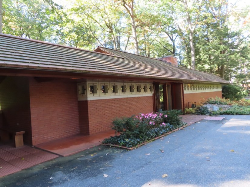
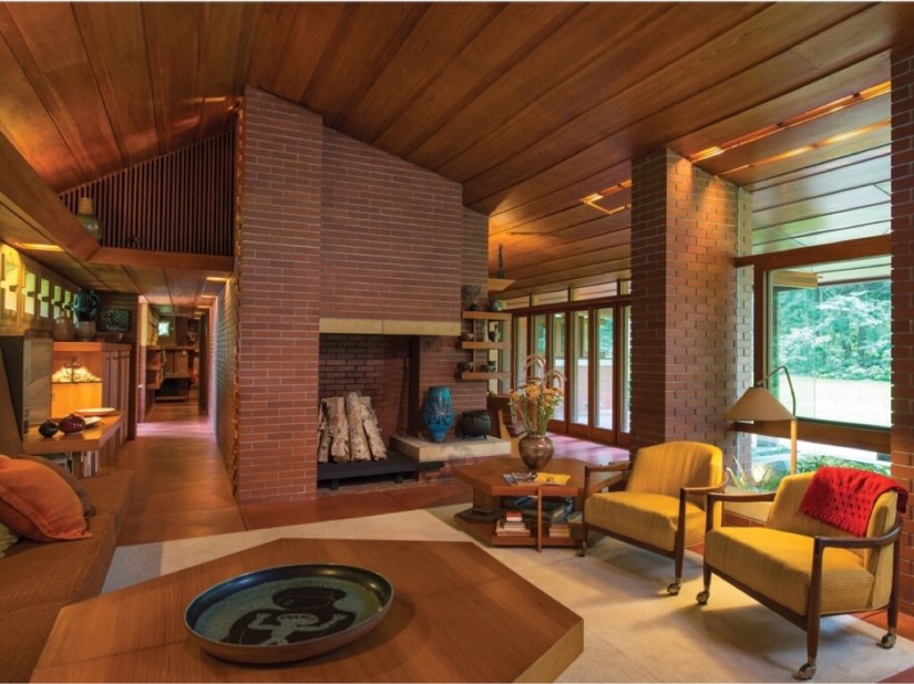 During the tour we heard how the Zimmermans approached Wright, the design process and the features of the house including the interior design, furnishings and the planting for the garden. Wright insisted that nothing should be changed after completion and this together with the fact that the Zimmerman’s left their house to the Currier Museum is why the house can be seen today almost as it was originally built.
The cypress wood used throughout, the exposed brickwork, snug size and warm colours make this a very cosy house considering its open plan design, but apparently the seats are not particularly comfortable and the chimney is smokey so not all is perfect!
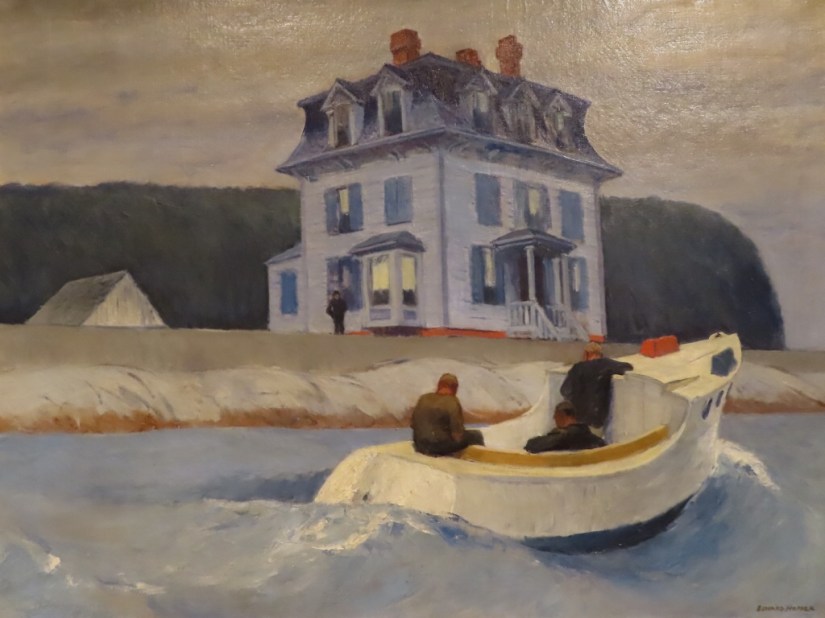
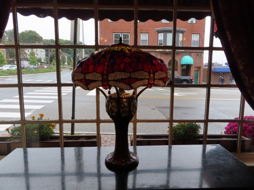
Chris had a last treat too as the Currier Museum had a couple of Hoppers on display, including this one called The Bootleggers.
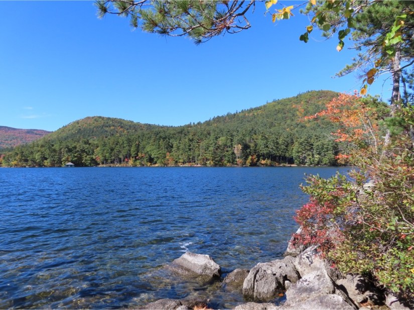
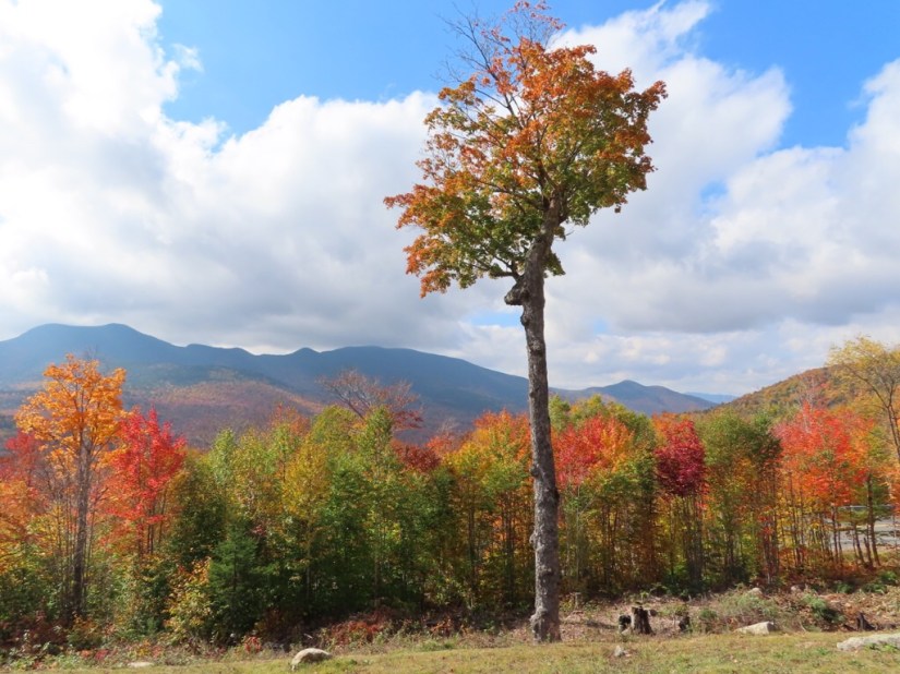
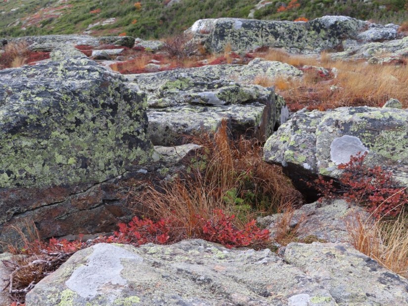
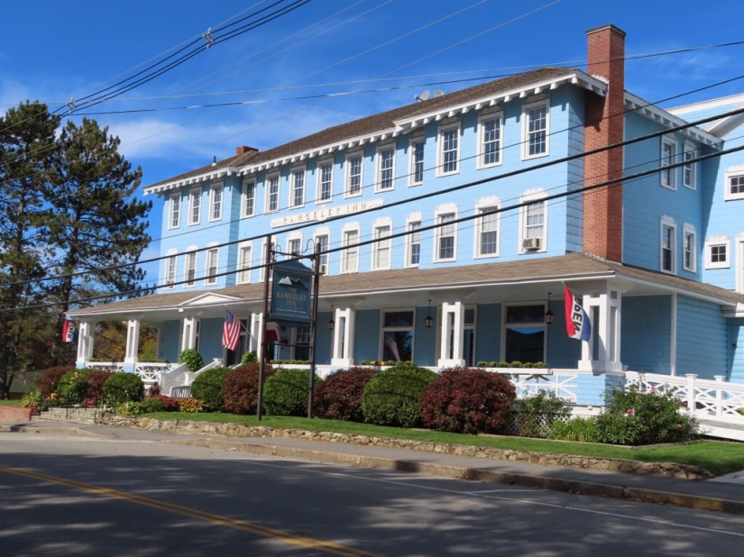
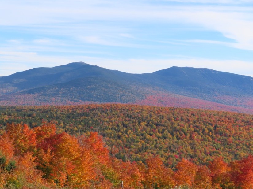
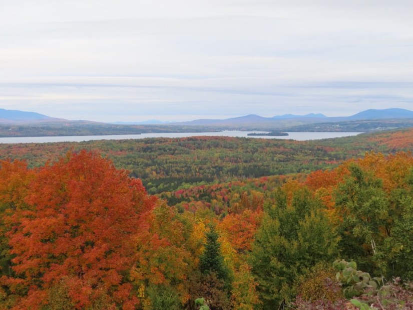
Well our trip has ticked all the boxes! One of the highlights had to be the whale watching as we felt so lucky to see so many whale antics. As for the leaf peeping, we thought we saw the best of the colour in Rangeley and the White Mountains as we’ve caught the Lakes a little early. But everyone here has something to say about it … we need more frost, it’s been a bit warm this year, the reds are starting to pop, it might have reached peak, seen better reds, must catch it before it rains, not quite so vibrant this year! Well we were impressed! With nothing to compare it with, we thought we saw fabulous foliage but it does look best in the sunshine and a couple more sunny days would have been nice.
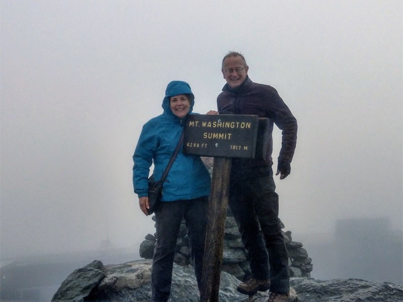
Chris always likes a count up so here we go – 1570 miles driven and 80 miles walked in 20 days across 6 states where we have seen 14 lighthouses and 14 waterfalls, crossed 14 covered bridges and attained 7 summits but not all on foot … fuelled by quite a few bagels!
Anyway, it has got a bit chilly here now and we woke to a flurry of snow today…


… so it’s definitely time to wrap this trip up … until next time!


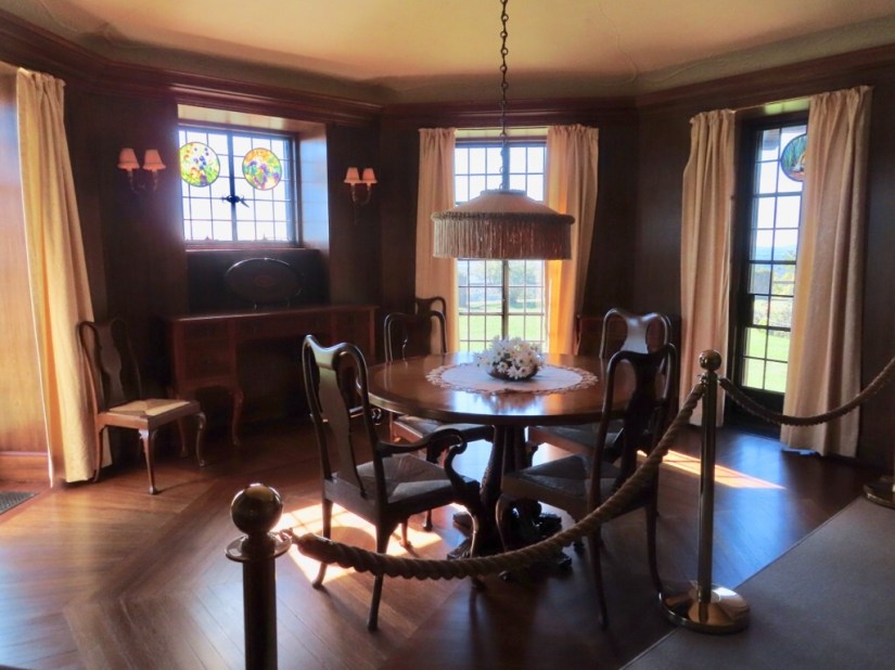 It was fitted with the latest technology like needle showers, central vacuuming, ammonia refrigeration and an internal telephone system. It also had some lovely design touches like these stained glass roundels set into many of the windows and some with scenes from the estate.


 Dinner at Walters Basin overlooking the moonlit lake was a lovely end to the day as was my excellent coffee bbq steak.
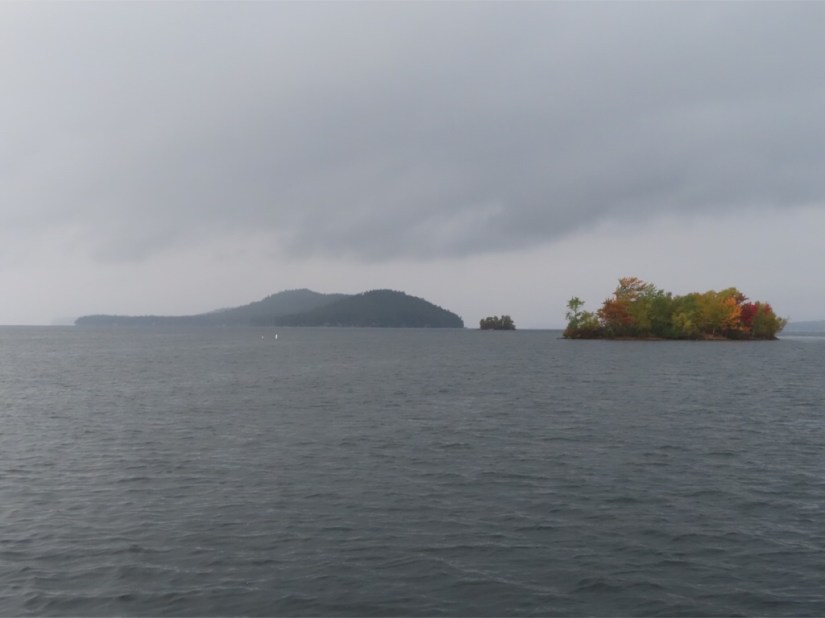 We woke on our 7th wedding anniversary to a chilly morning with mist on Squam Lake.


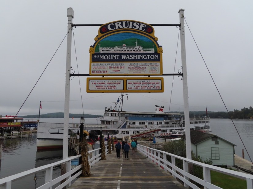

 We went aboard the MS Mount Washington and took a few atmospheric photos then retreated indoors for hot breakfast rolls and coffee.


 Awaking to a chilly but sunny morning, we saw a dusting of snow on the mountains as we drove to Benton’s Sugar Shack for breakfast.
 The Benton’s have been making maple syrup for five generations then 30 years ago opened a small eating place for skiers which looks like its hardly changed and now they open year round for breakfast at the weekend. We waited a while for a table which we then shared with another couple and breakfast certainly kept us going all day.


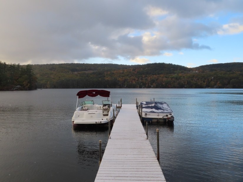
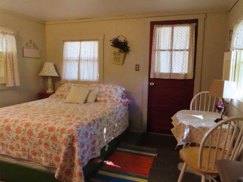
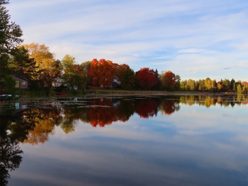
 … then continued to Holdness where we are staying at Cottage Place on the edge of Squam Lake, in a cute little cottage all to ourselves.


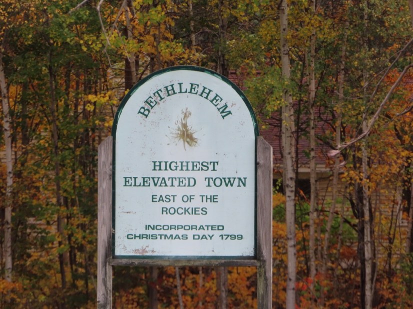
 Littleton is a convenient base to explore the Franconia Notch State Park together with its attractions which have been drawing tourists here since a surveyor noticed a rock formation resembling a man’s head in 1805.


 The Main Street has some surprisingly grand buildings for a modest town but also lots of local shops rather than having been taken over by shops catering purely for tourists.


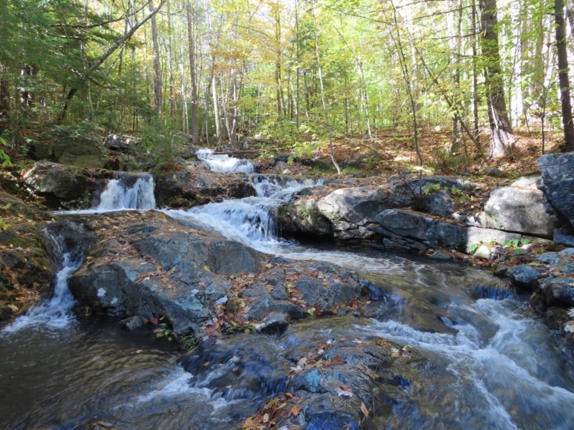
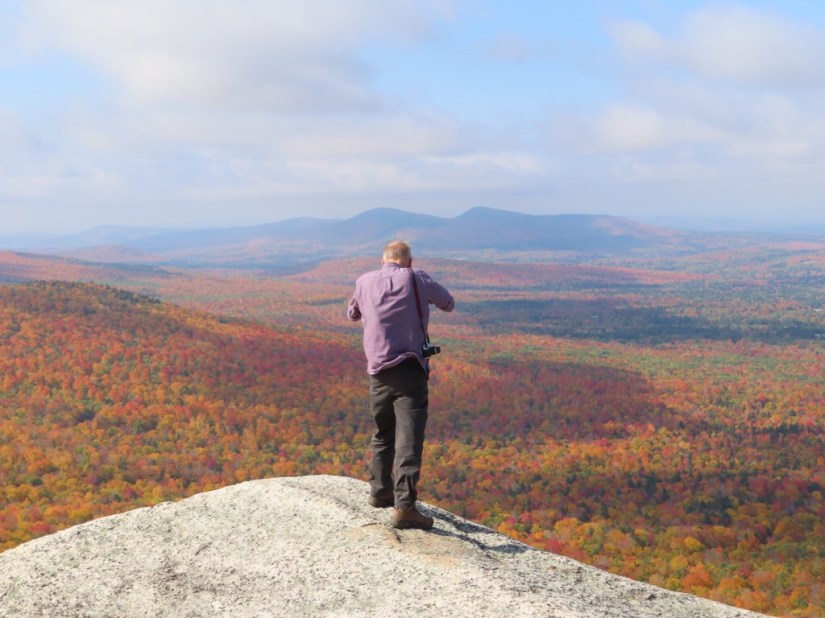
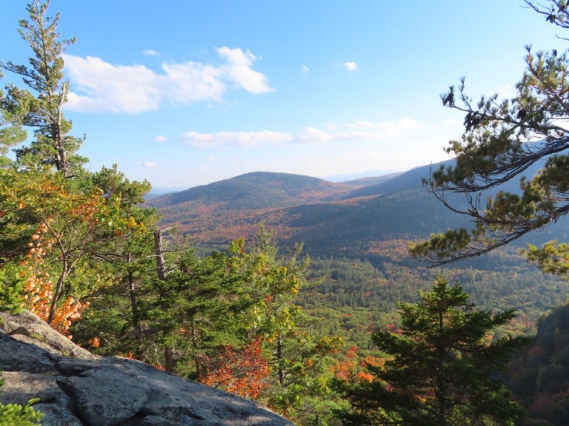
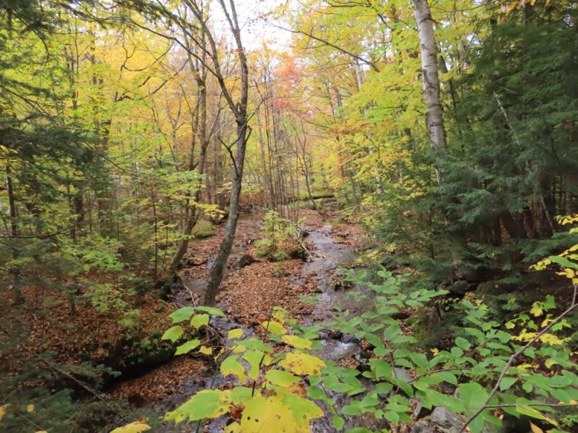
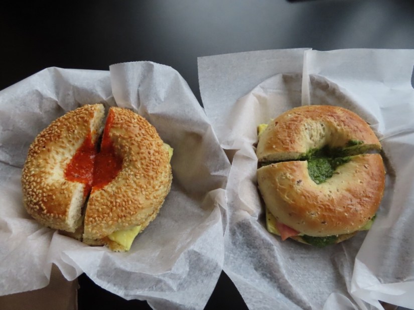
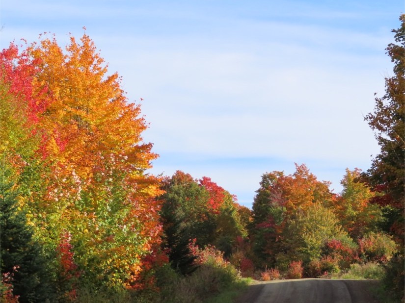
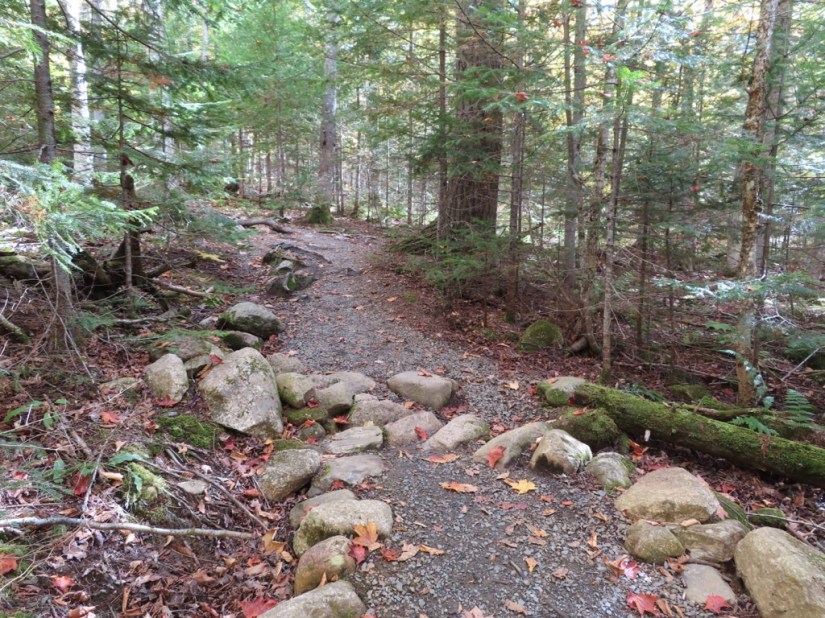
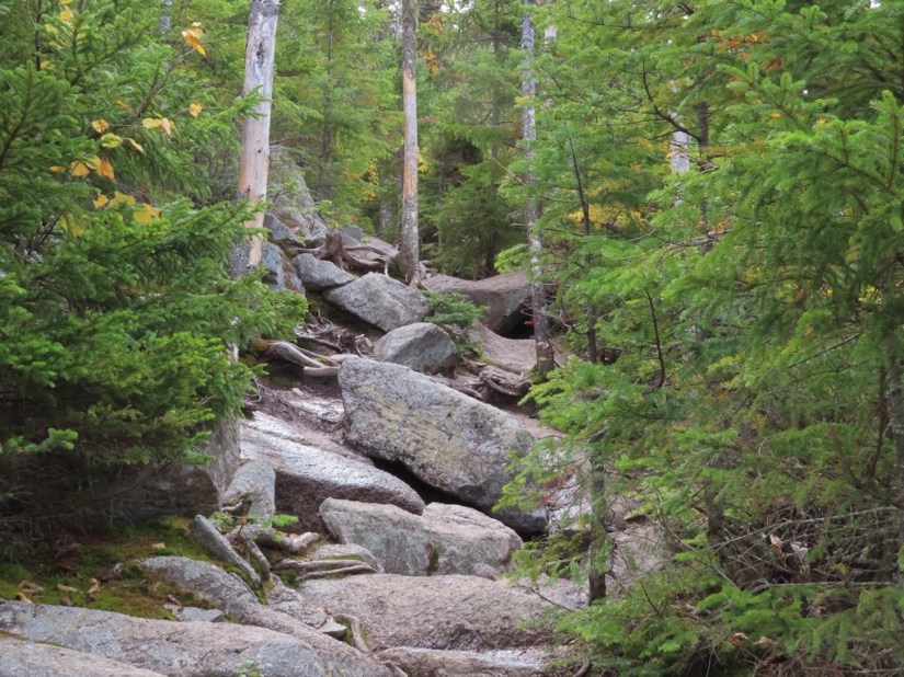
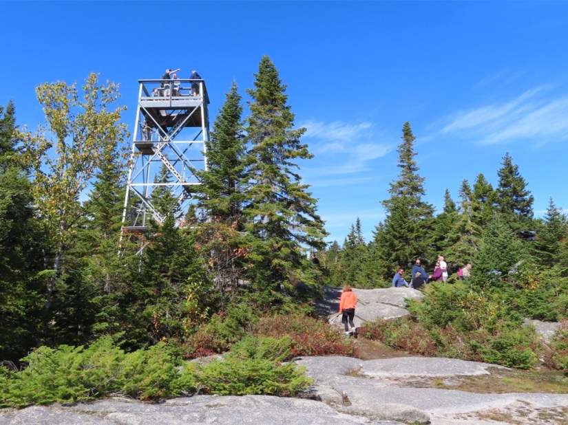
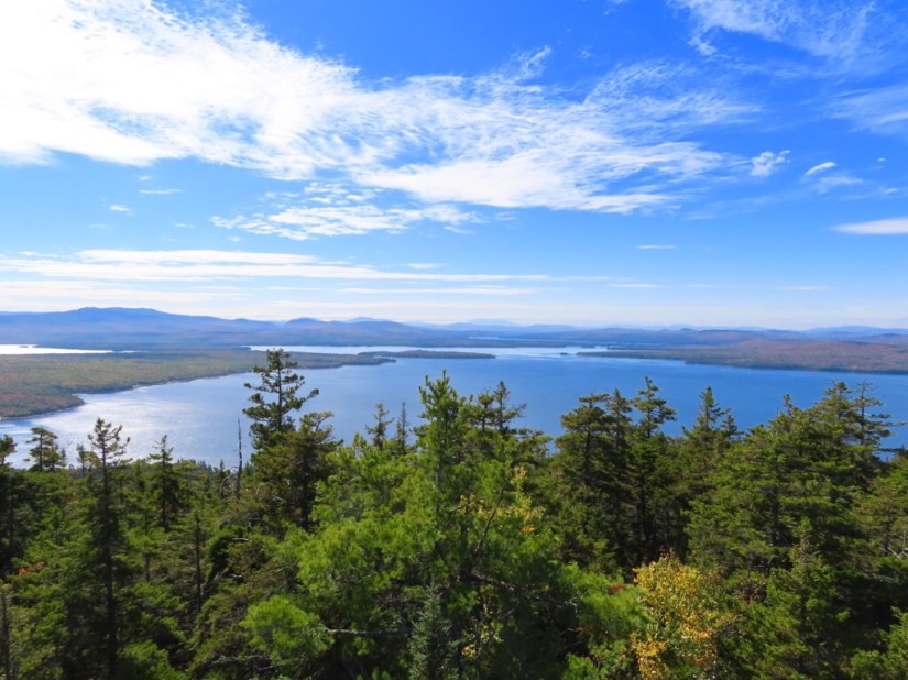
 Two warm sunny days were forecast so we replanned a little to make the most of them. Up early and full of breakfast bagels, we set out to hike the Middle Sugarloaf Trail, a 2.3 miles moderate return hike with an ascent of 866ft and a promise of fab views. The blanket of fallen leaves changed colour as we hiked on …


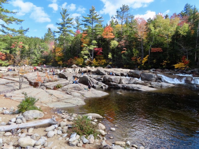
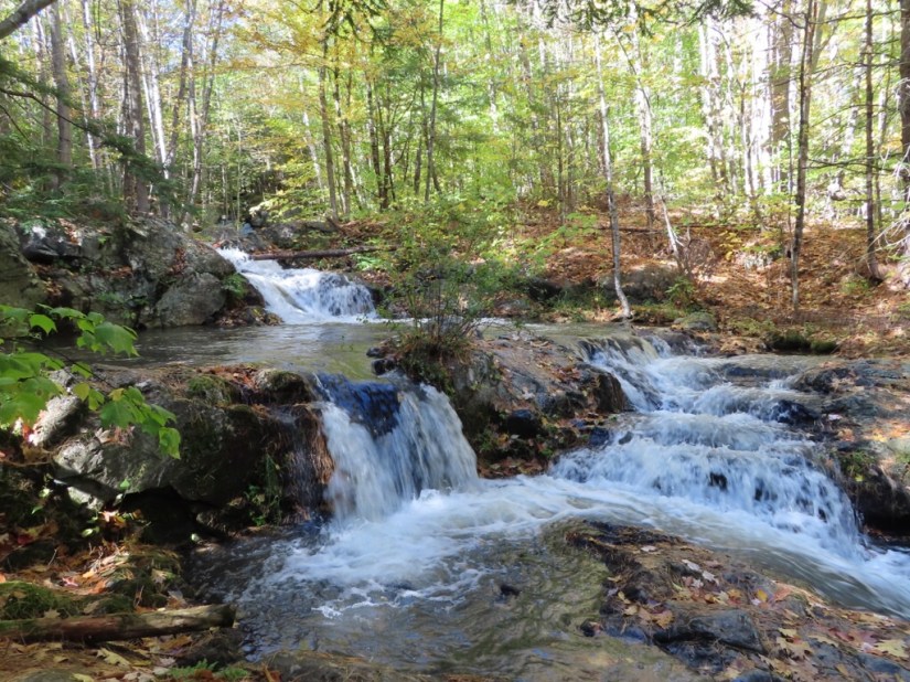
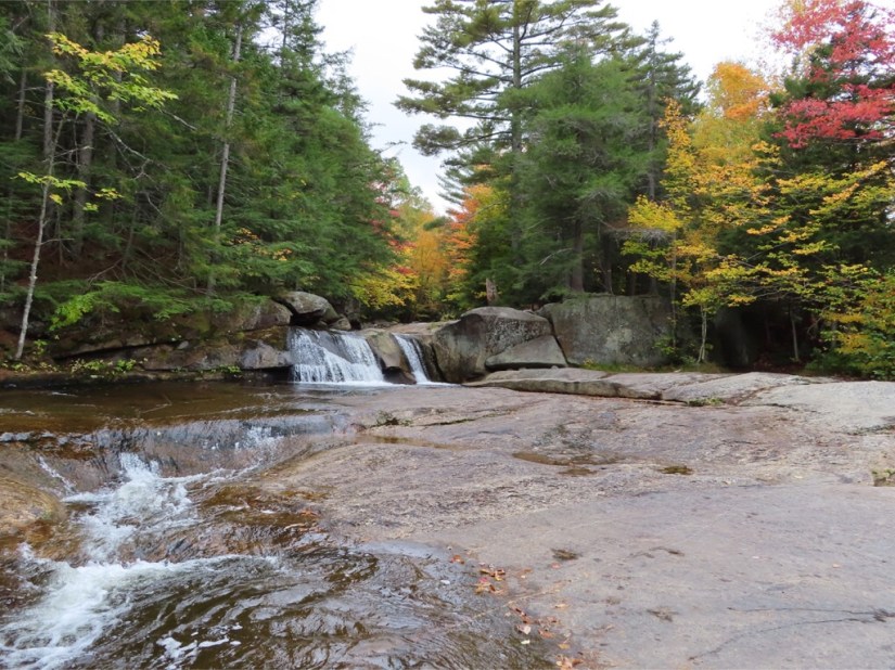
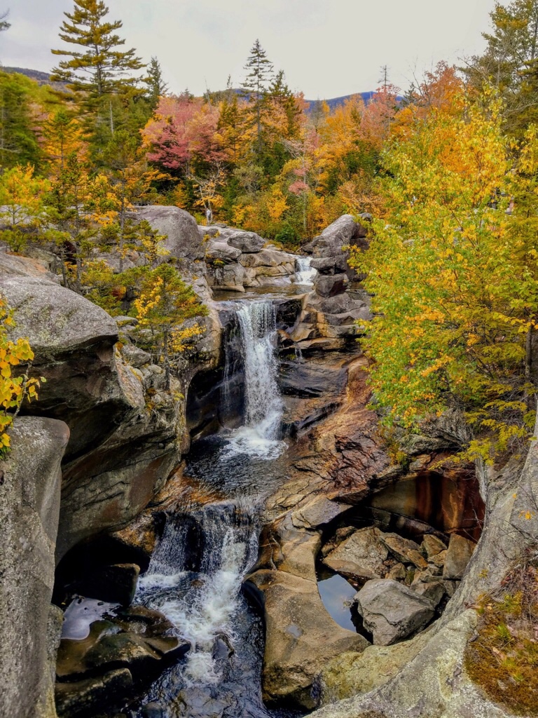
 … Rocky Gorge …


 … and time to move along and check in for the night …
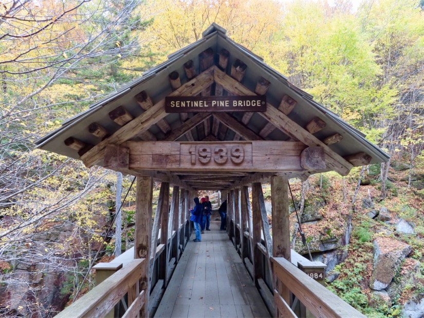
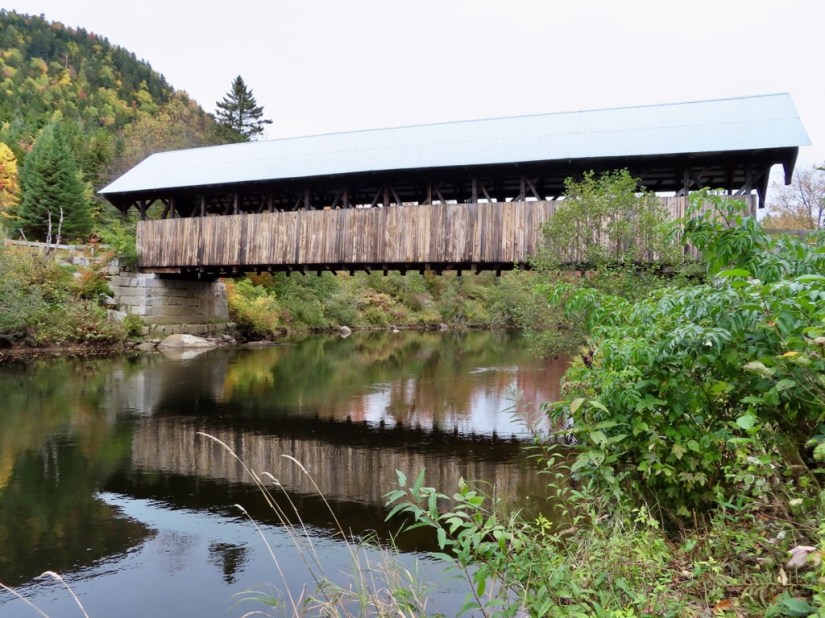
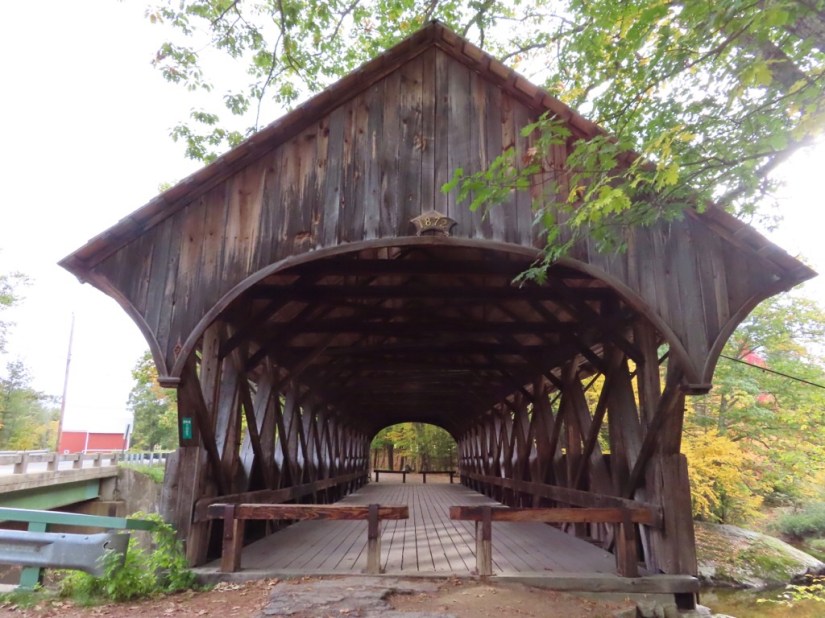
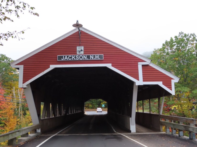
 We picked the route for scenic attraction and interest rather than speed and the first treat of the day was to see our first covered bridge. They were designed to protect the wooden structural timbers from the weather, and there are only 8 remaining in Maine. This is a Paddleford truss bridge called Bennett Bean Bridge, built in 1898 and


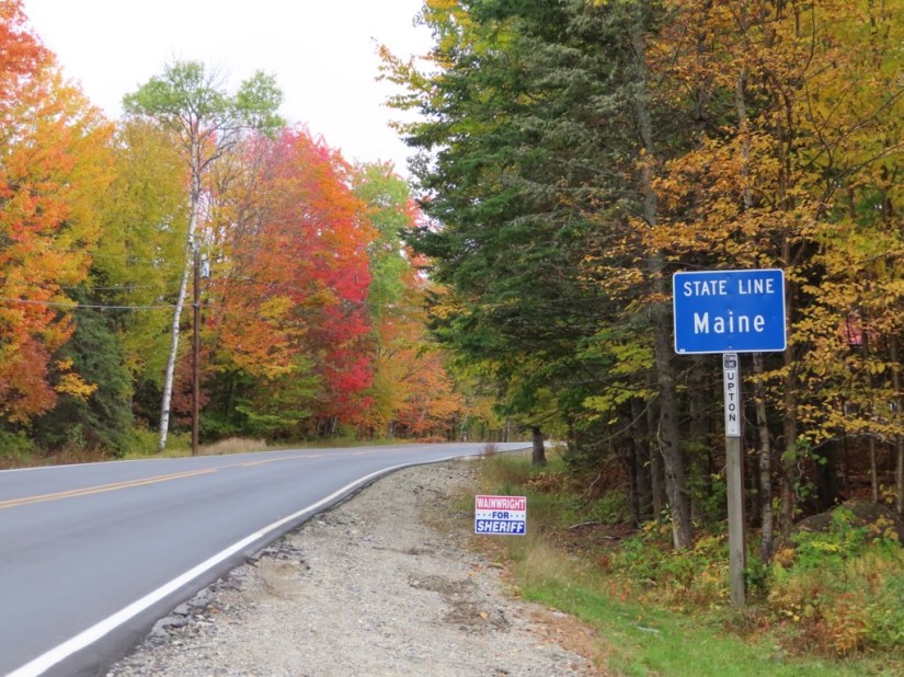
 … and from Maine to New Hampshire and back to Maine.


 This is the Columbia Day weekend, the last hoorah at the end of the season with a bank holiday tomorrow so restaurants were busy and we ended up at Mountain Fired pizza for dinner.


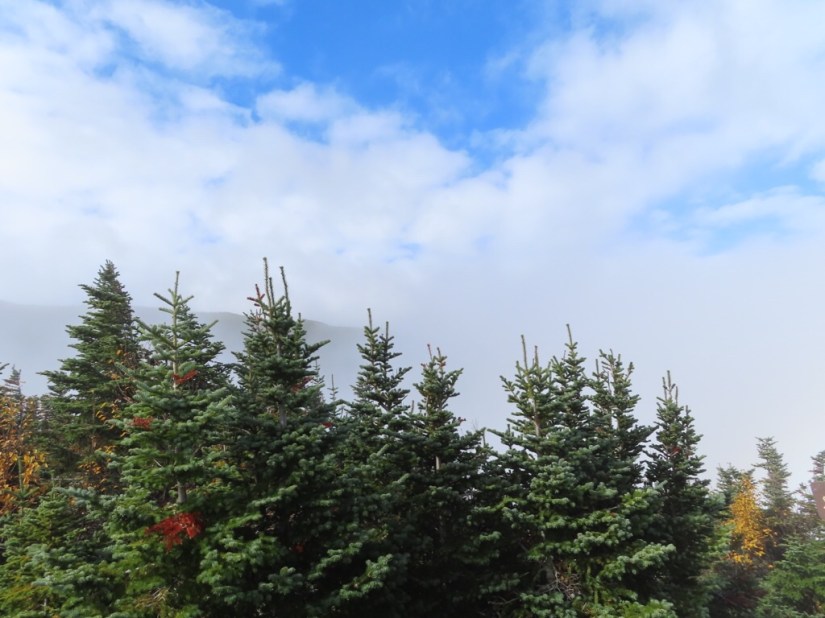


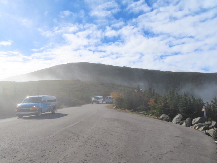


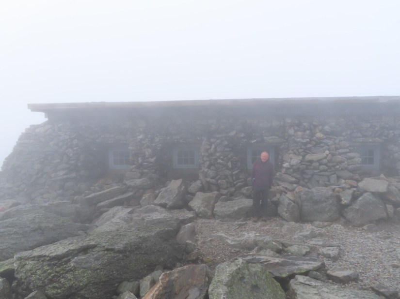
 The Auto Road Stage Office is actually chained down for safety and bears this sign …


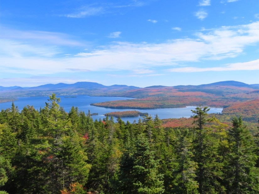


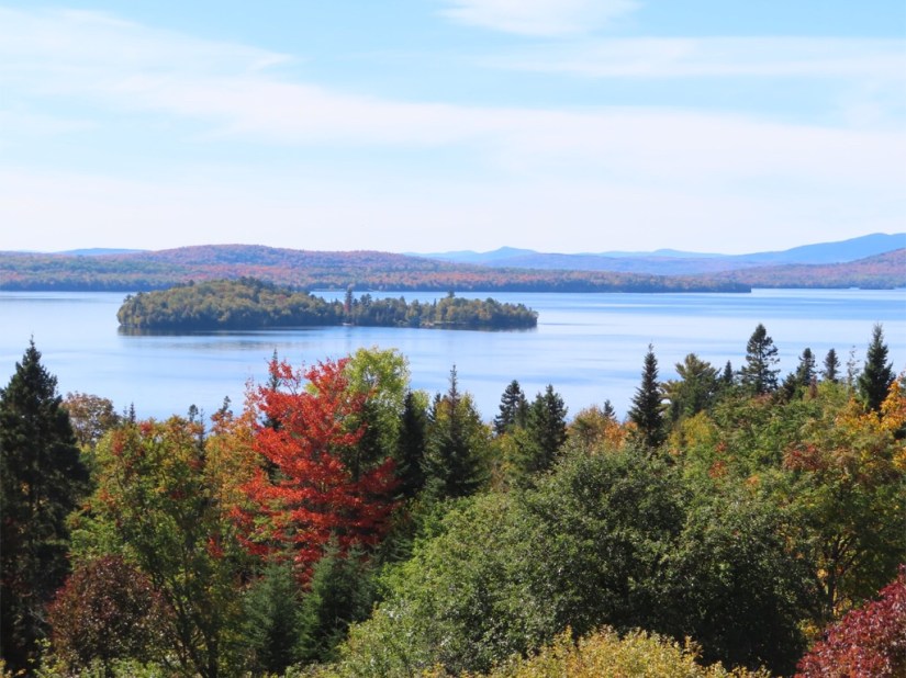


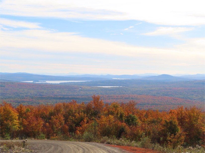
 Next day we drove the scenic route all the way round Rangeley Lake taking a few pics and making a couple of stops.


 Bald Mountain offered a family-friendly hike of 1.3 mile each way, with an ascent of 930ft.
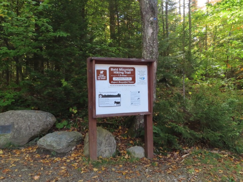


 The last viewpoint was at the Height of Land Overlook, but by now it was a little overcast.
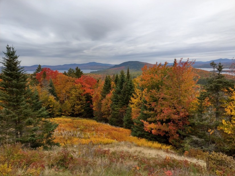


 We drove northwards … first up was Eartha, the world’s largest rotating and revolving globe at the DeLorme mapping corporation in Yarmouth. It’s huge… hello Joanna!
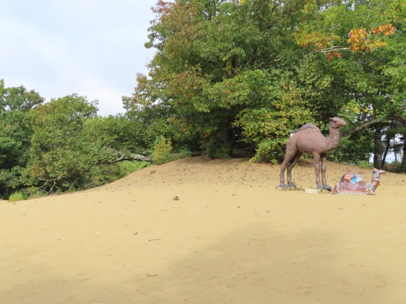
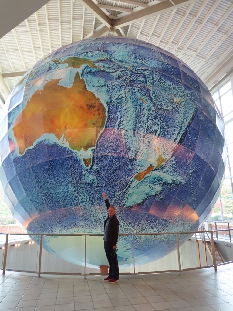 Next was the Desert of Maine, a 40 acre expanse of glacial silt which has been a tourist attraction in Freeport since 1925. This became exposed in the C19th through soil erosion when the Tuttle family failed to rotate their crops then over grazed the land, eventually overtaking the whole farm. It has been preserved as a curiosity but slowly vegetation is becoming established once more and covering the sand.
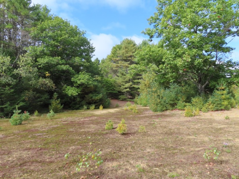


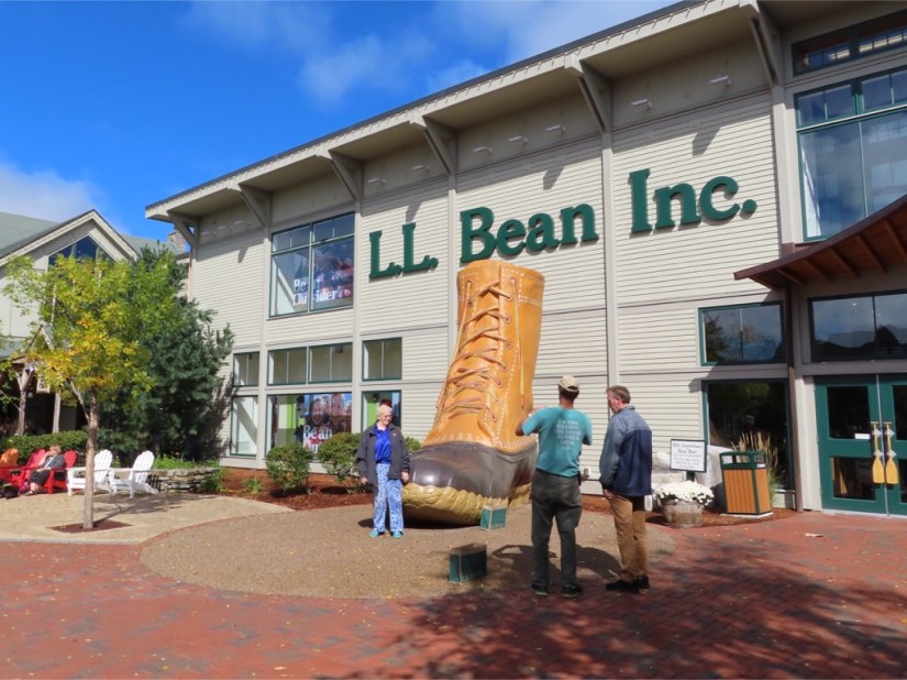
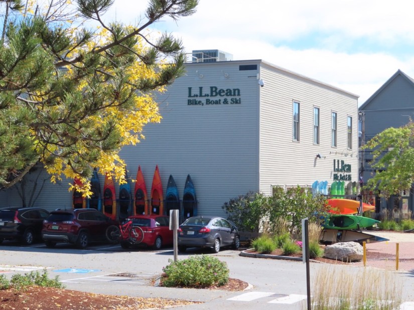
 I hadn’t heard of LLBean, but this store was founded in 1912 by its namesake, hunter and fisherman Leon Leonwood Bean in Freeport. Today there is a huge shopping campus open 24hrs daily selling clothing and equipment for every outdoors pursuit imaginable.
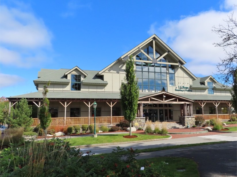


 Just as we were feeling peckish we saw a huge lobster and had to stop! I had a cup of lobster stew, but I have to admit, having had Maine lobster twice now, that I would still prefer a crab sandwich any day!
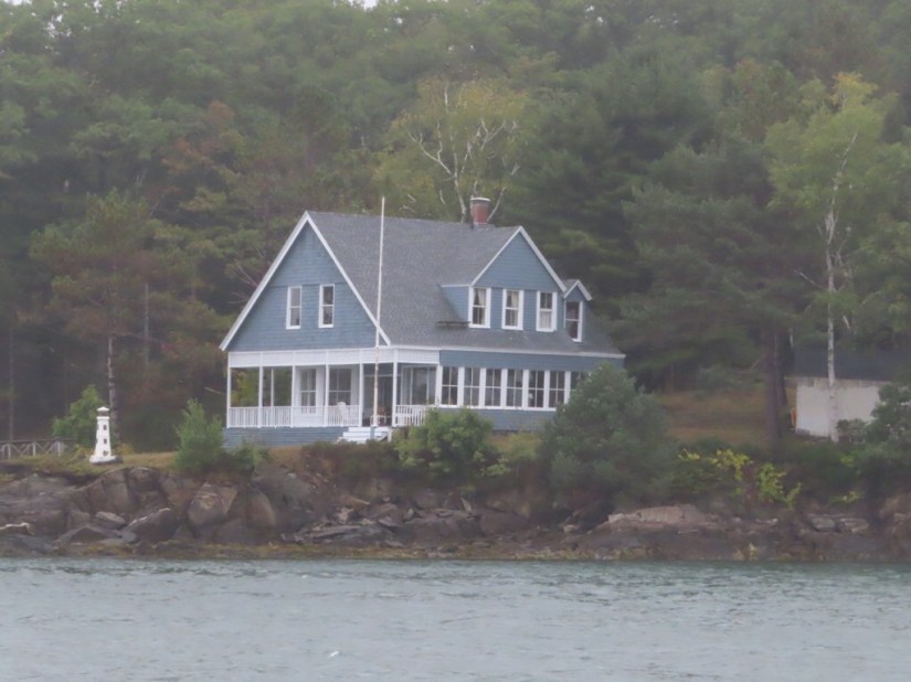
 All along this part of the coast fingers of land stretch into the sea. We took a detour down to the end of Pemaquid Point to visit the lighthouse, which was looking splendid against the blue sky in the sunshine.


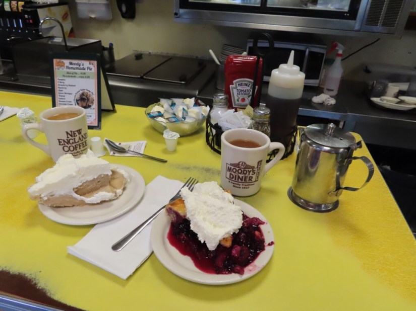
 Moody’s diner had been recommended to us by Christopher in Gloucester who said their choice of pies had to be seen to be believed … and he was right! I chose a four berry pie, while Chris opted for the peanut butter cream pie … a deliciously indulgent afternoon treat for us both … thanks Christopher!


 Just a little further and we reached Camden, where we had booked a room at the Towne Motel which has been welcoming guests since 1955.It was great to be able to take a short walk into the village for dinner and eat at the Seadog Brewing Co and in the morning breakfast was served in the parlor of the original 1853 house.
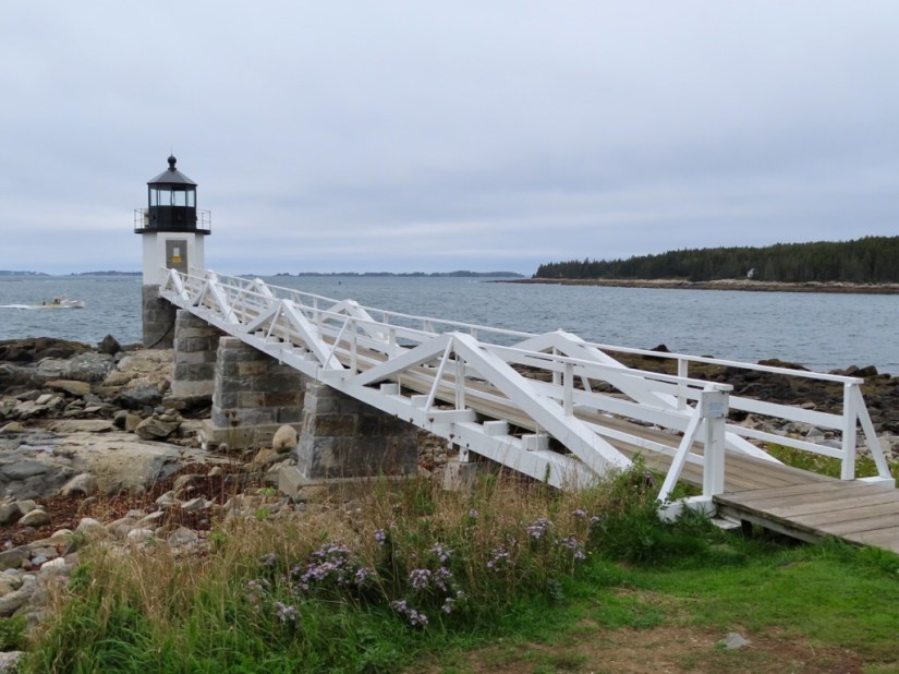
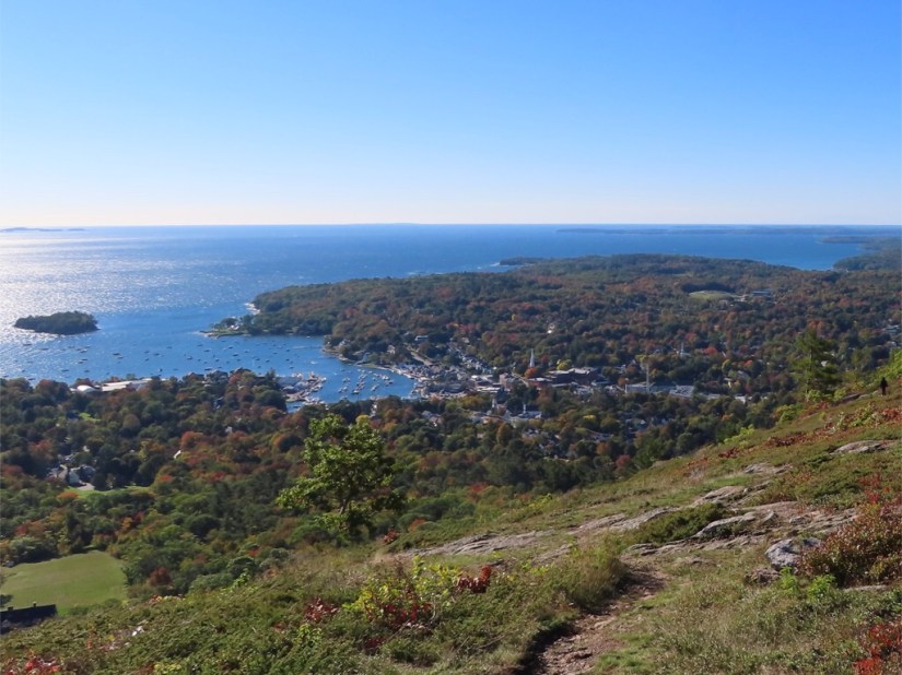
 We thought we might start with the Mount Battie viewpoint in Camden State Park, but one look out of the window and we realised the summit was shrouded in mist … another grey day in Maine! Instead we headed down the St George Peninsular, catching views along the way.


 Marshall Point Lighthouse is at the bottom and has a wooden runway linking the light with the keepers house which makes for a great photo op.
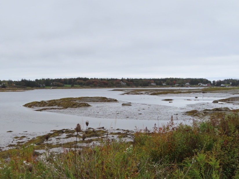
 We also took a detour from Spruce Head to Spruce Head Island …


 … and out to Penobscot Bay.
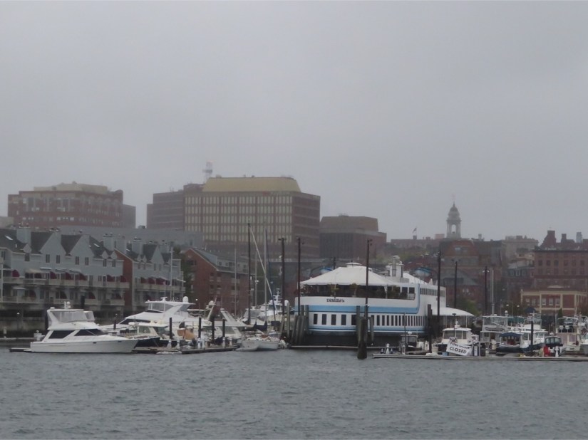
 After the fabulously sunny day yesterday, today is grey as we set out north on Highway 1, passing very familiar places in a very unfamiliar order –


 We drove a way on the I-95, then took another detour to Cape Elizabeth to see her


 The morning dawned just as miserable, but dry at least, and we wandered into town, first through the Arts quarter, where we