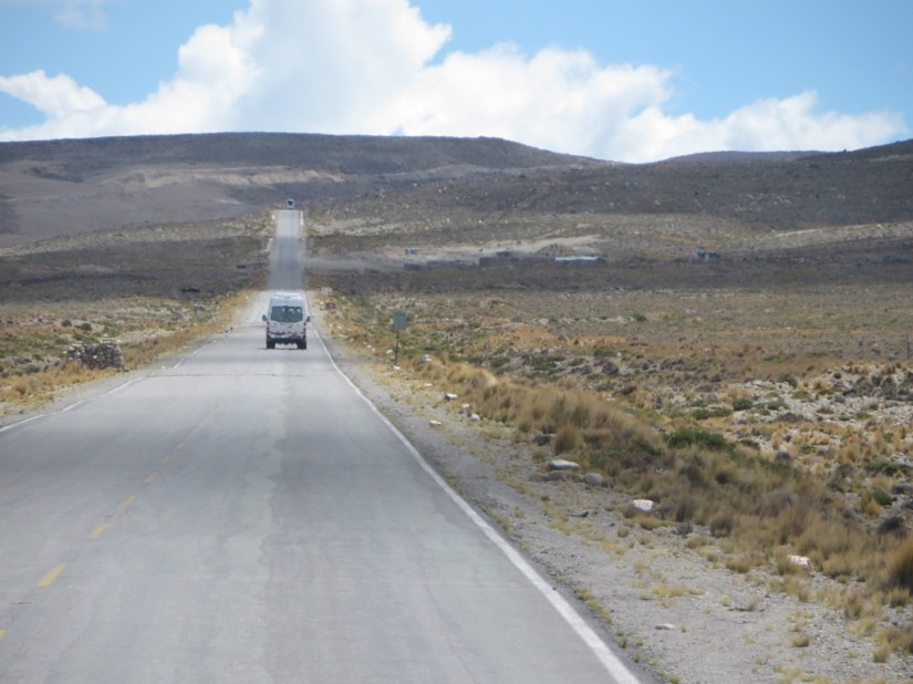
We left Yanque at lunchtime and fortunately Chris was feeling much better. We travelled by bus back over the Patampampa Pass and this time turned left to Puno, a six hour journey. The road took us through more high puna grasslands with tufts of ichu grass and small shrubs and a background of rolling hills.

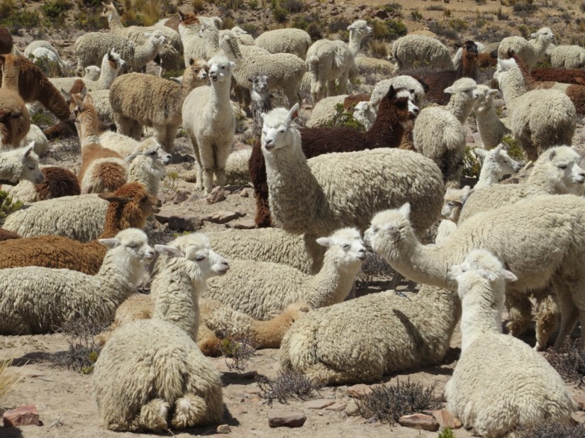
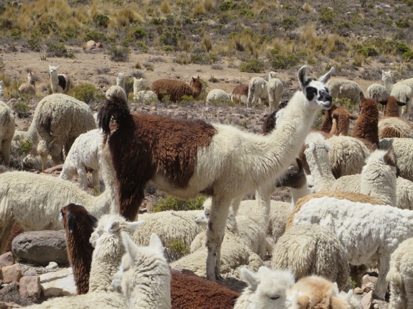
There were a couple of villages, but we saw more alpaca than people. We stopped at Lagunillas and took a photo of the lake, then continued down to Puno.

We spent a fabulous day with Percy from Edgar Adventures on their Titicaca Express Tour. Lake Titicaca is the worlds highest navigatable lake, some 8400 sq km and 3850m above sea level, half in Peru and half in Bolivia. According to Inca legend, the god Viracocha had his children Manco Capac and his sister consort Mama Ocllo sprang from the freezing water of Lake Titicaca. They searched for a fertile place where their gold staff would sink into the ground, and founded Cusco where the Inca dynasty began and the men farmed and the women learned to weave.
The speedboat took us out from Puno to Taquile Island, which is home to 2,000 people living in 36 community groups. The islanders live in a very traditional way, electing their leaders, who must be over 25 and married, by a show of hands every 2 years. Number one rule on the island is not to be lazy, and to this end they have refused vehicles or pack animals and carry anything that needs carrying themselves. They fish, grow vegetables, keep animals and everyone on the island knits or weaves, including the men. One side of the island has a small harbour with steps up to a main square with some tourist shops and restaurants, but we landed the other side so we could visit with one of the community groups.
As we arrived, we could see there was a large project in hand to build a path upwards from the shore. We were told that each day a different group works on the path till it is done, with everyone helping. They wear traditional clothes, hats, belts and bags for coca leaves for the men and red jumpers and black skirts and shawls for the women.


The islanders are largely self sufficient, trading fish and woven goods for any items they need. However, it is the money they receive from tourist visits, around £1.50 per person for 500-750 visitors a day, shared between the various islands round the lake, that make buying cement for the path and also installing solar power and a water pumping system possible. We watched the women weaving, using a ancient llama bone to push down the threads, and a man kitting a hat on 5 needles with very fine wool.

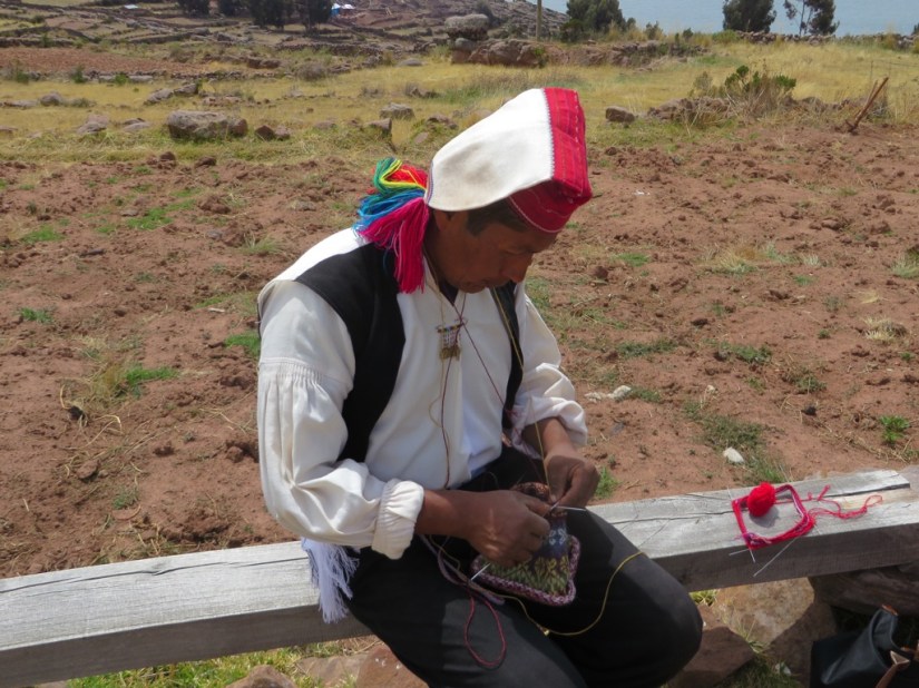

We met Rosa, who though young, is already married with 2 children and weaves bracelets.

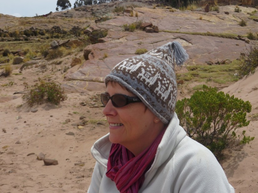
They also buy alpaca wool and knit for tourists and Chris bought me a cute hat with alpacas.
While we were there the cloud started to burn off and there was an amazing halo effect round the sun.

They still maintain traditional courtship rituals starting with a boy reflecting the sun off a piece of mirror at a girl he likes, who can either ignore him if she is not interested, or reciprocate with her mirror. She then steals his hat to test whether it holds water, which shows he has knitted himself a quality hat and is a good boy, in which case she accepts him, otherwise she throws his hat away and that is the end of it! Next the girl has to pass a potato peeling test for her prospective mother-in-law to prove she is a good cook. Assuming all goes well and they marry, the girl cuts off her long hair and gives it to her husband who weaves it into a belt.

She then weaves a band with special motifs, like fish if he is a fisherman, for him to wear over the top.

We walked across the island and down to the beach … far too chilly for a swim!
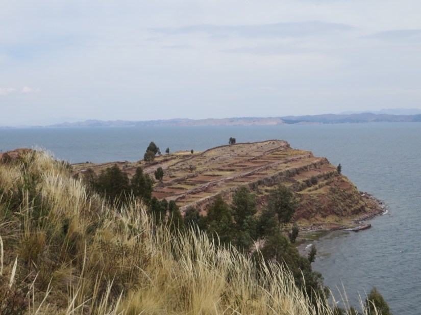

Next we stopped at the peninsular of Capachica where local families take turns to cook a pachamanca, usually cooked only on feast days, for the tourists. They had heated rocks for 2hrs, then added wrapped parcels of food, and piled on more rocks, a cloth, then soil and left it to cook for an hour. The community leader came and said prayers to pachamama or Mother Earth, and put coca leaves and chicha beer on the mound in thanks for the food, before uncovering the mound and serving the food, potatoes, bananas, chicken, trout and fava beans.


There are traditional rituals in Capachica too, as on marriage, the man makes a hat for the woman and she makes him a poncho.
Lastly we visited one of the more remote Uros islands. It is a floating reed island, about 40m diameter, made by lashing together blocks of reed roots, which after a time grow together, then can be topped with cut reeds and anchored to the lakebed. 30cm of fresh reeds have to be added each week and care taken the island remains floating.

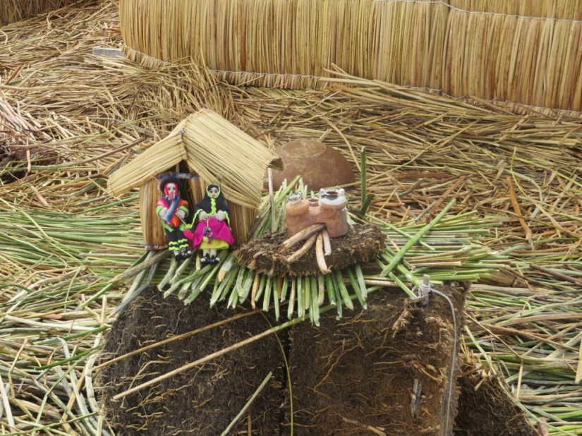
There are five reed houses, one for each family. The soft stems of the reeds can even be eaten.


The islanders were reluctant to accept tourists, but fishing is very poor, so now they need the extra money to survive, and made us most welcome, telling us about their way of life, then taking us on a short trip in a reed boat which were traditionally used for fishing, although now wooden boats are used.


Leaving Puno, we travelled on our last long coach trip, 385km to Cusco, driving again through the altiplano, a grassy high plateau sitting between the east and west range of the Andes, which turns green with the rains. Few people live here, and those that do live in small houses without chimney, burning animal dung in the winter when nights can dip to -18C. They herd animals and also grow crops such as potatoes, of which there are some 3,500 varieties in Peru, with the best ones growing over 4000m, and quinoa.

We have realised how flexible quinoa is since we have been in Peru. There are a huge number of varieties from white quinoa, through pink and red to brown and black. It is used in soup, to make risotto, as a side dish, to make a crispy coating for say fish, but also popped for breakfast cereal, in baking such as cookies and in deserts like milk puddings.


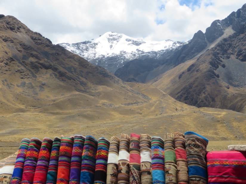
We then climbed until we reached La Raya Pass at 4335m, and saw Chimpulla standing high above, the source of the Urabamba river which runs through The Sacred Valley, our next destination.

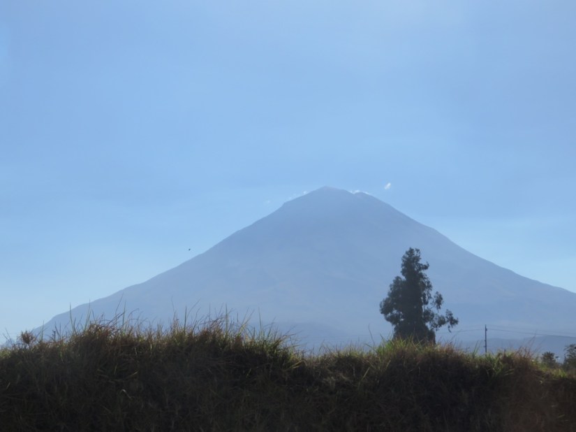












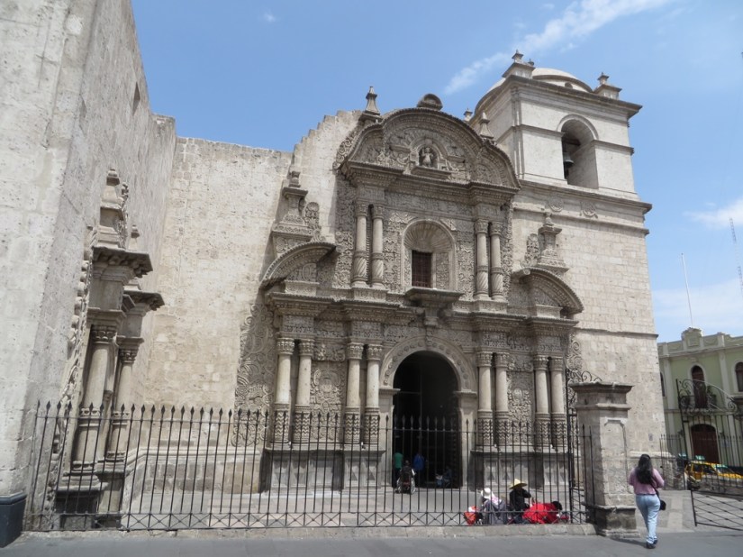
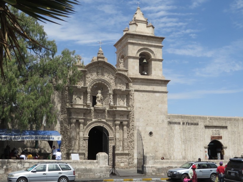
 The coach followed the coast south through the night, then turned inland and started climbing till we reached Arequipa at 2335m, with the volcano El Misti standing behind. Arequipa was a stronghold of colonial Spain and one of the few major settlements of Peru that wasn’t first founded by the Inca people. It then became wealthy again in the 19C from the wool trade with England and today is a mining centre. It still has fine colonial building made from white volcanic sillar rock cut locally and often flecked with black ash which give the city its striking appearance.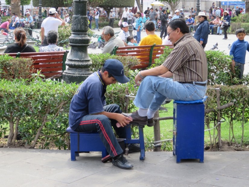






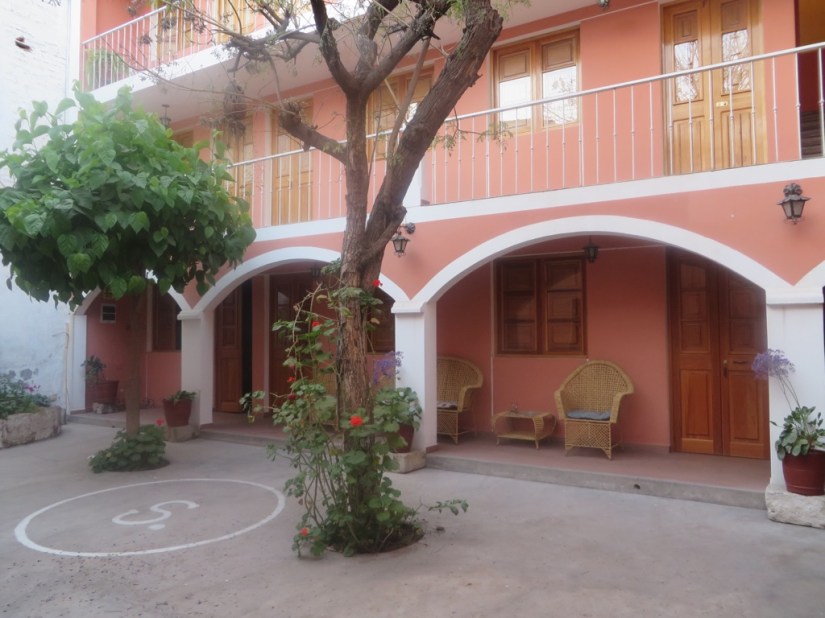


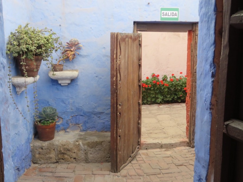


 We drove through desert that got rougher and rockier as we reached the foothills of the Andes, including areas where the road had been blasted through the rock. The views were stark but amazing. We arrived in the afternoon, and only had to walk over the road to our hotel. We took a turn round the town, and sat in the square, watching people taking their afternoon walk.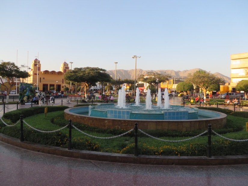


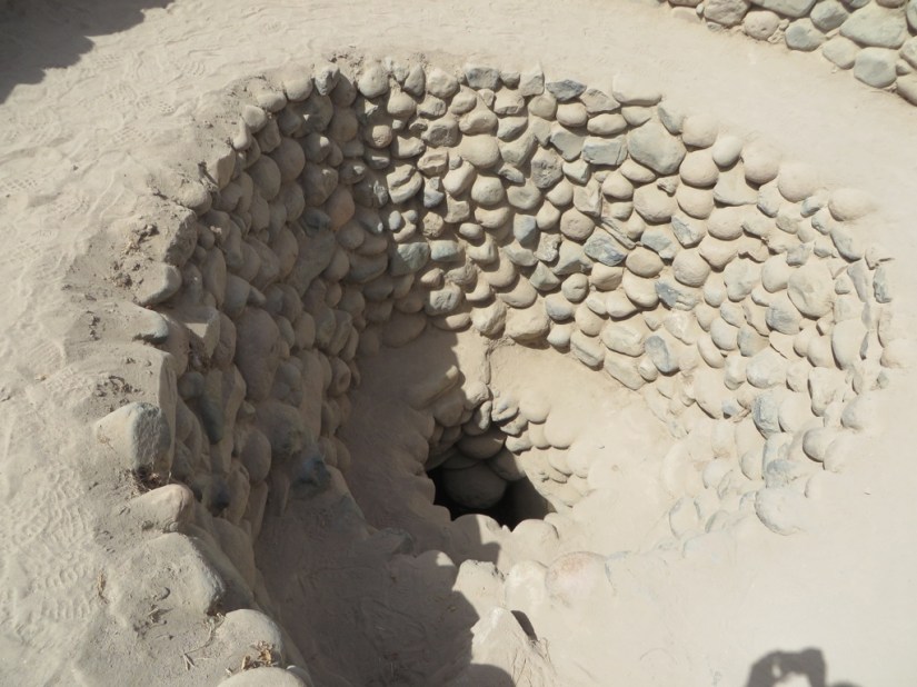
 Nasca in Quechua means “place tormented by droughts”. Although there are rivers, they only flow with water from the mountains in the rainy season. However the Nasca worked out that the water table is closer to the surface in the valleys and were able to construct aqueducts to take advantage of this so they could access water year round. We visited one of the aqueducts at Cantelloc, which runs underground to prevent evaporation, then towards the end runs on the surface with the sides lined with boulders, and then into a reservoir, which can be opened to irrigate the land.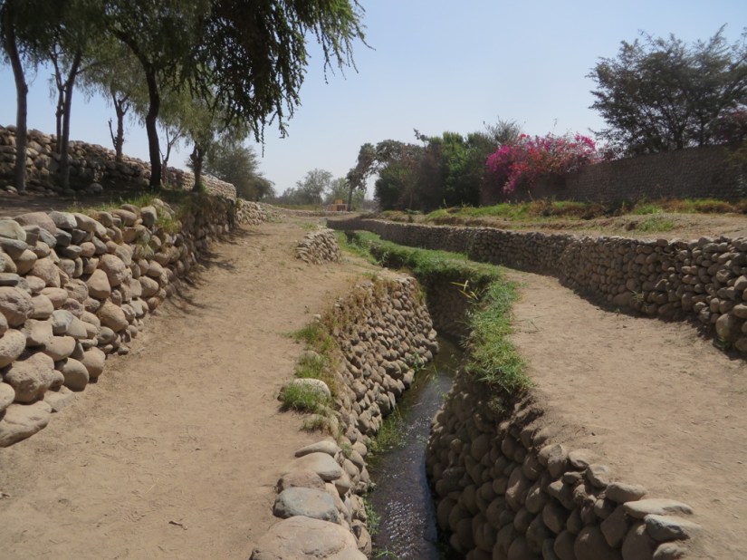



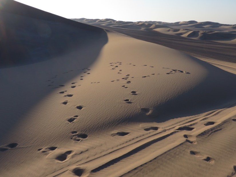
 We got a taxi to our hotel on the outskirts of Ica in Huacachina, but it was dark, so we didn’t fully appreciate the size and majesty of the sand dunes till the morning. If you were asked to picture a erfect oasis in your mind, Huacachina wouldn’t be far off! The story goes that a princess stripped off her clothes to bathe and when she saw a male hunter watching her through her mirror, she dropped it and it became the lagoon. In the 1940’s it became a smart resort, but later the subterranean water source became more erratic. Now it is supplemented with water from artesian wells, and still retains its 1940’s charm and size.

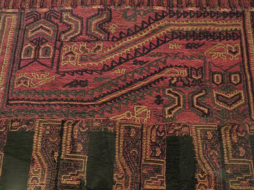
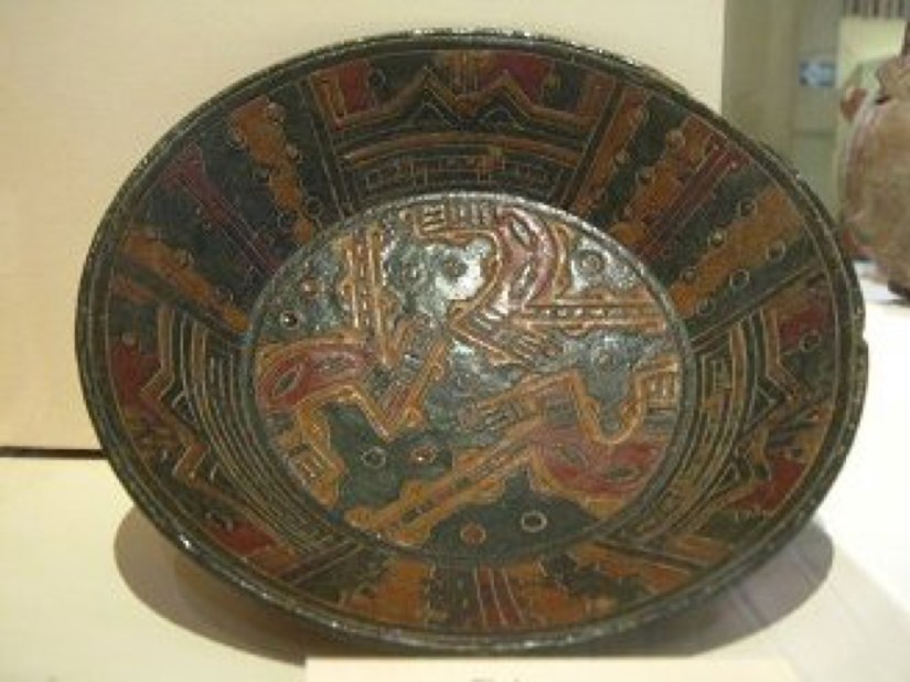


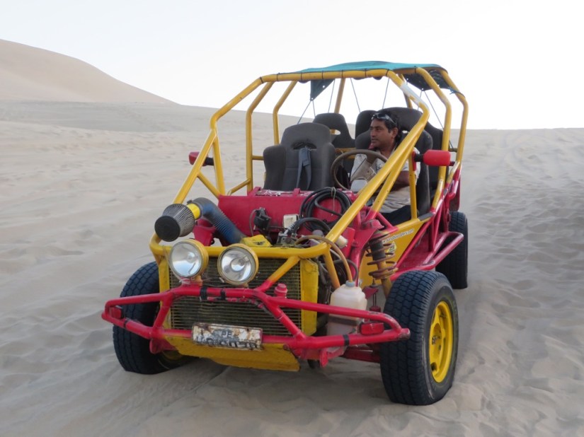
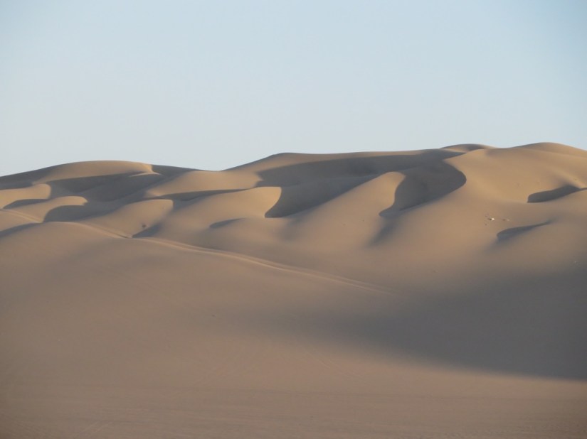


 We picked up our coach at the Cruz del Sur coach station, a very organised procedure of ticket collection, luggage check and security before boarding the coach. We had paid for premium seats downstairs, all of £13 each for just under 4 hours on the road, in a comfy seat, with a lunch service … highly recommended.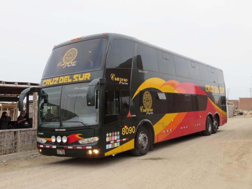


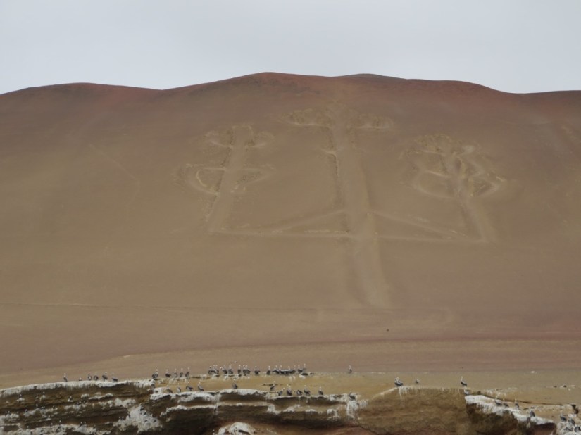
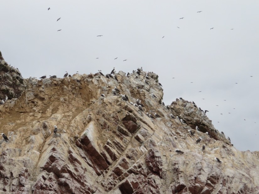


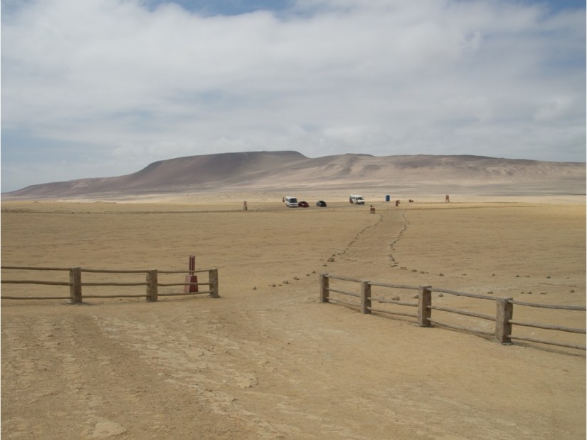
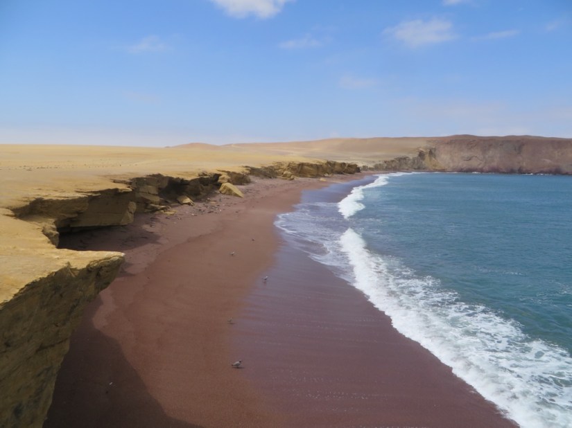

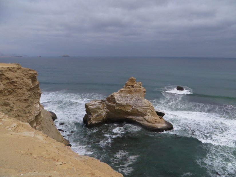
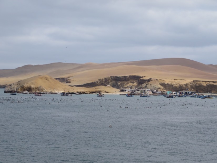

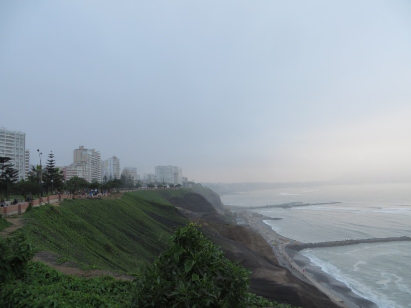


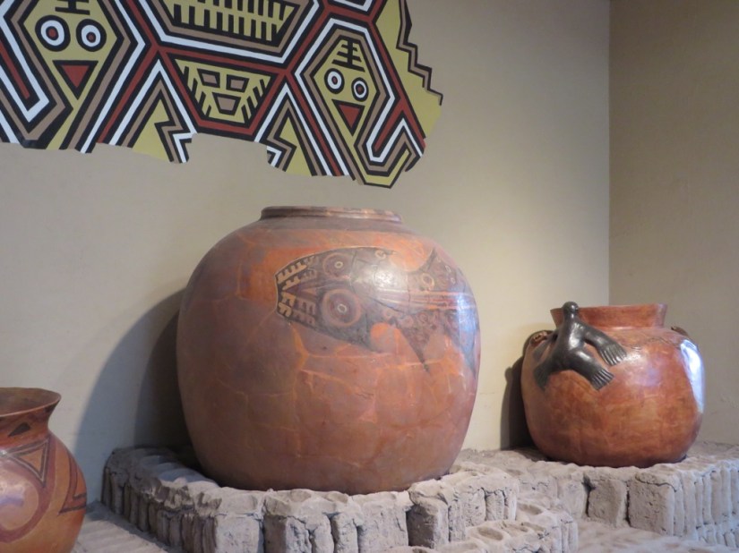


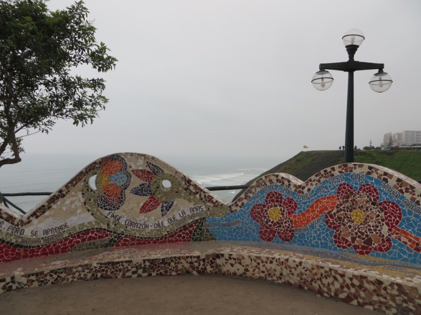




 Travelling to Machu Picchu to see the temple of the Incas has been on our travel wish list for a while, but once we started planning, we realised how large Peru is, made up of some 3000km of coast, the sierra behind where the Andes form the backbone of Peru and finally the jungle between the foothills of the Andes and the Amazon basin.
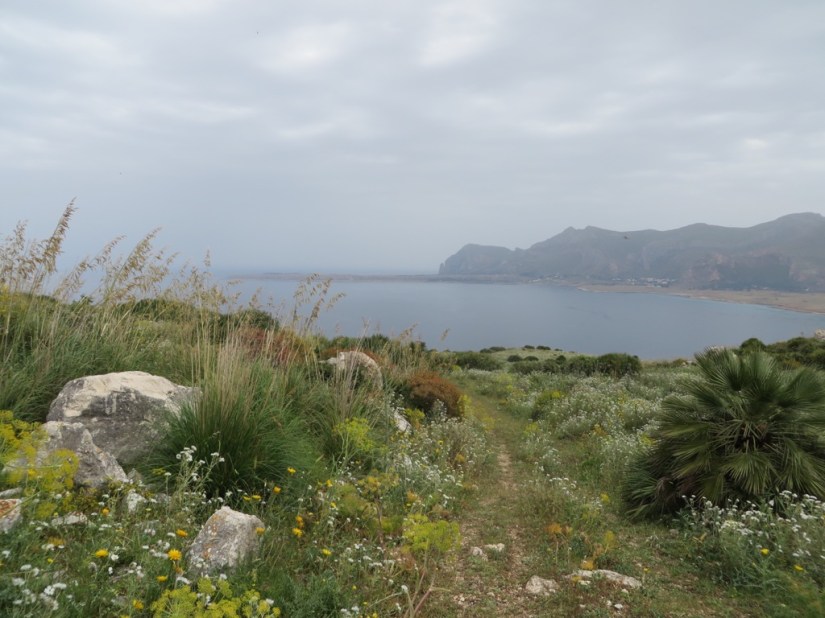
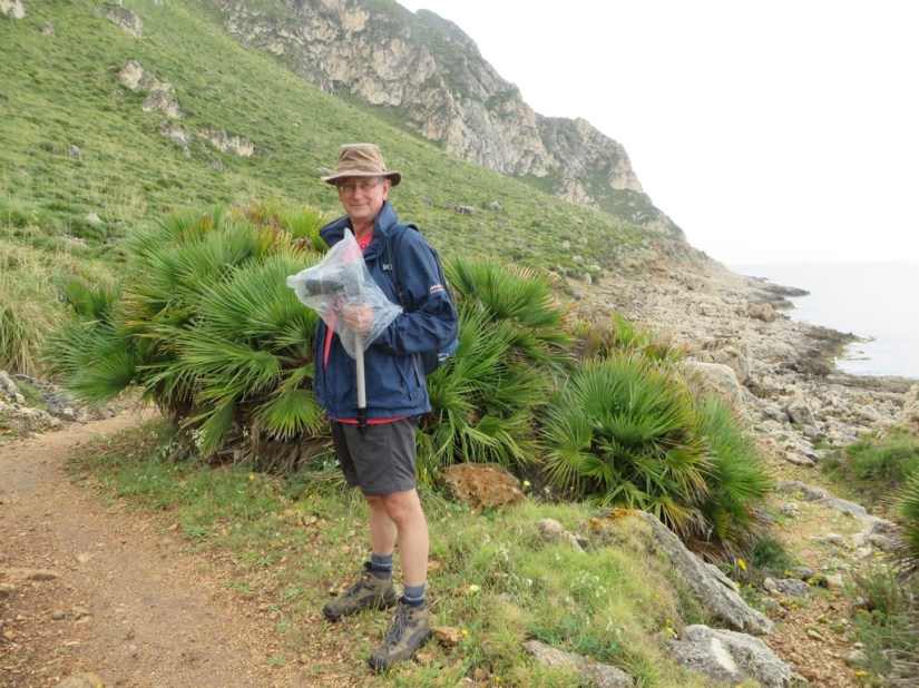
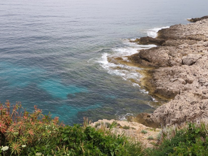
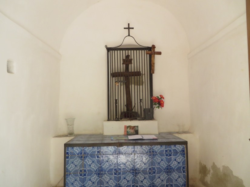
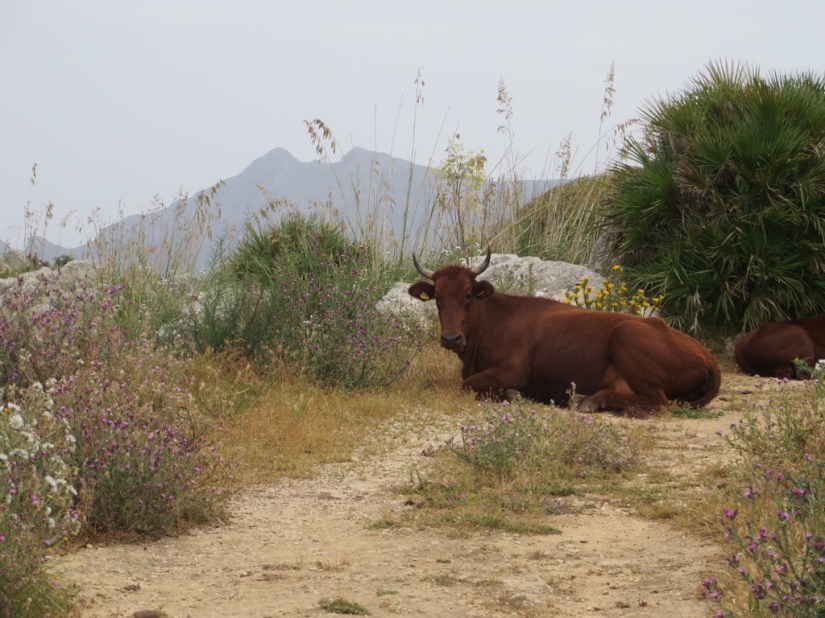
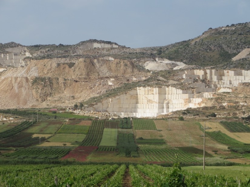
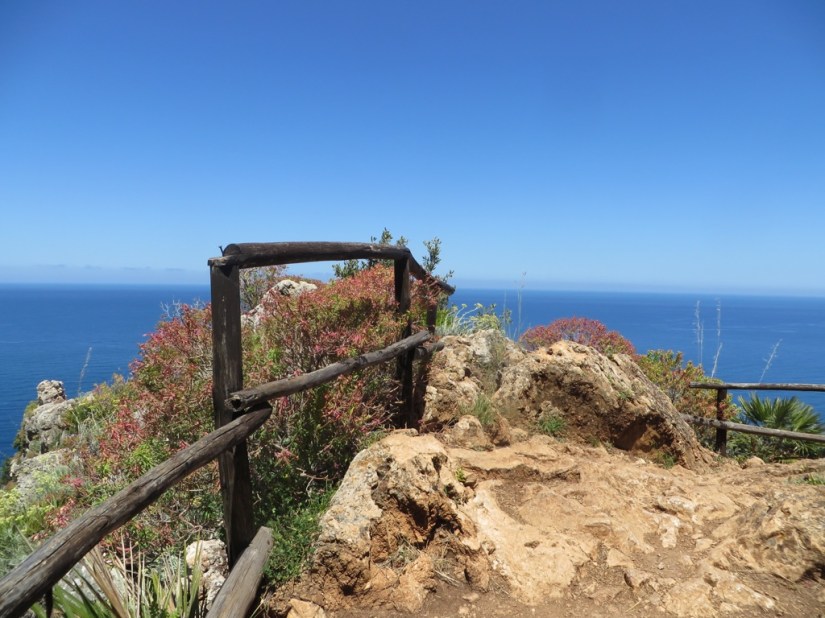
 Today we set off on Walk 26 from our guidebook, a 5 mile walk round Monte Cofano which lies between Trapani and Capo San Vito.








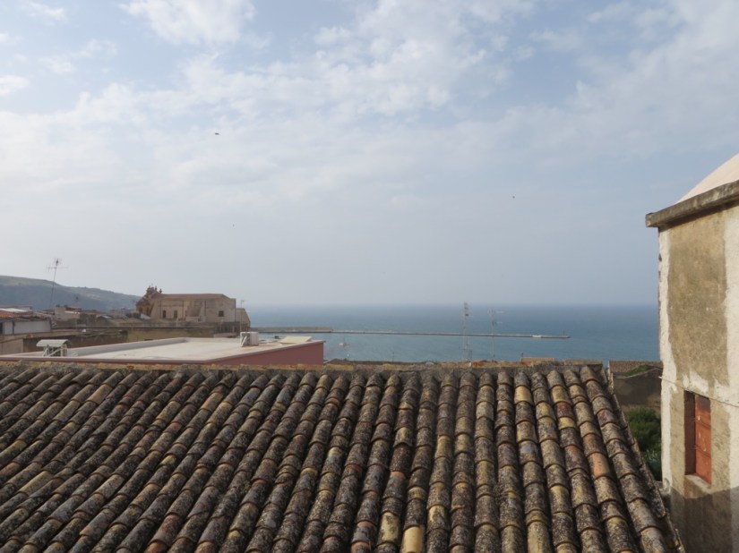

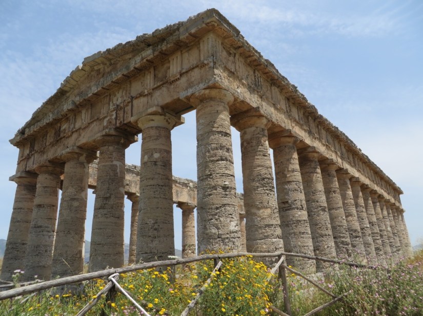
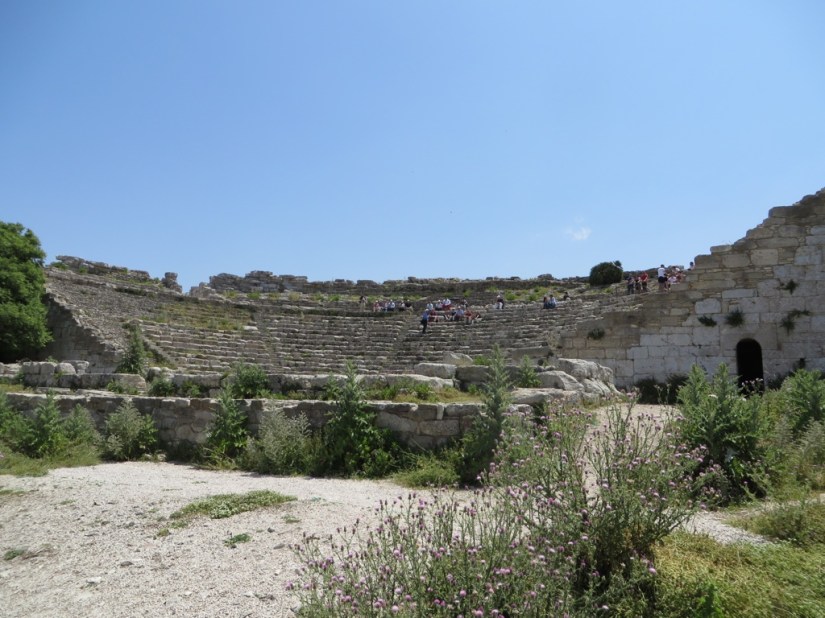
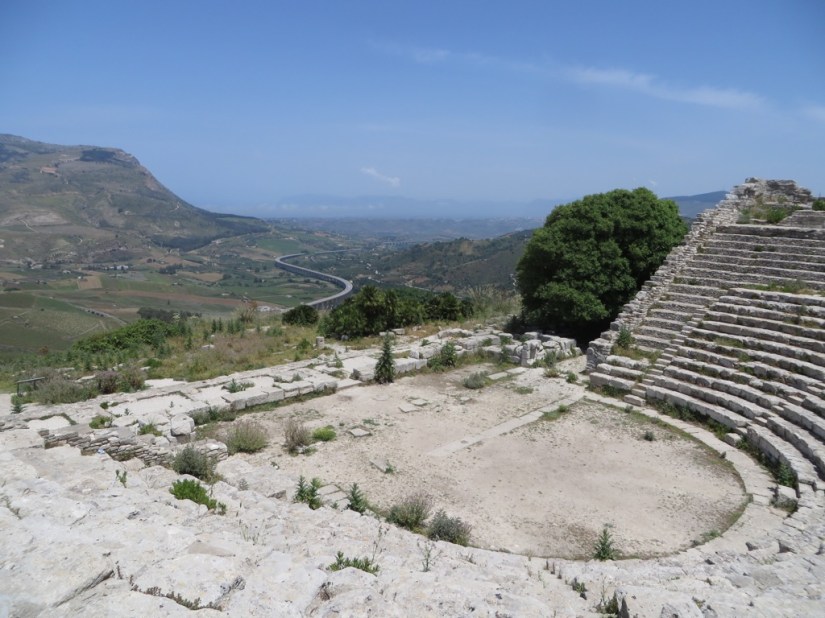
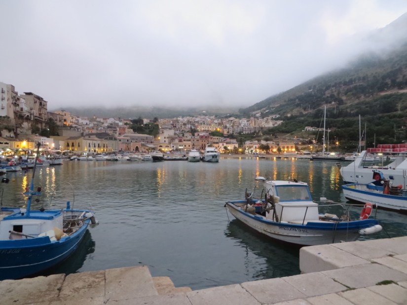

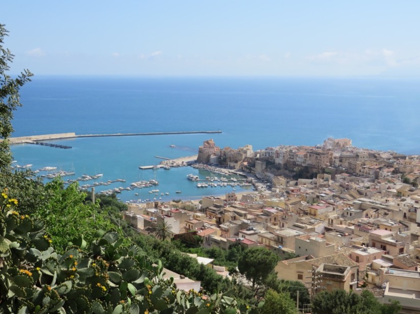


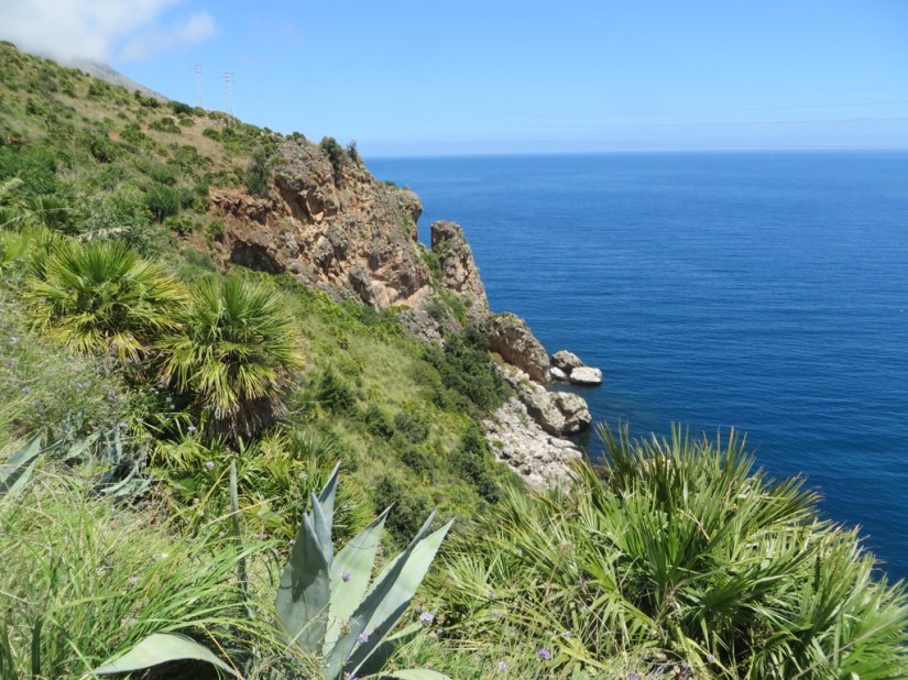

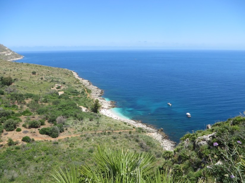



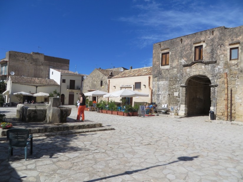
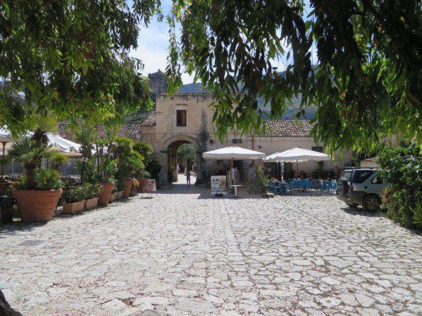
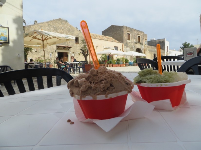
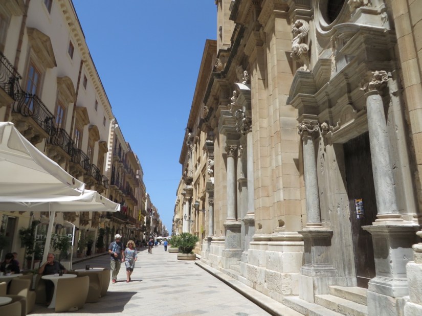
 Having driven down the salt road, we entered Trapani by the port and old town, situated on a curved spit of land like a sickle for which the town is named. Running like a spine down the centre is the very grand Corso Vittorio Emanuele, studded with fancy shops and fine Baroque facades.