Blog

Blackwell

Next day, the sunlight was streaming into the apartment as we got ready for a real treat. I was so looking forward to visiting Blackwell, an Arts & Crafts house, designed by Mackay Hugh Baillie Scott (1865-1945) and by far the best example of his work open to the public.

Before we started exploring, we had coffee on the terrace in the sunshine, overlooking Lake Windermere and this set the tone of the day … decidedly chilled … a brew with a view!

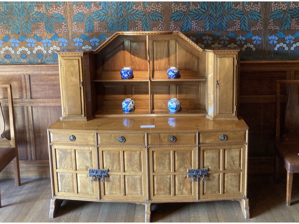
Blackwell was built as holiday for Sir Edward Holt, a wealthy Manchester brewer and completed in 1900, and was later a school and offices but has survived with almost all its original decorative features intact and has been open to the public since 2001. The furniture and objects in the rooms are not original to the house but are by leading Arts and Crafts designers and most are contemporary to the house.

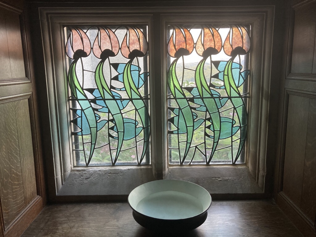
Blackwell is asymmetrical in design with local influences such as the tall round chimneys and the use of local slate and sandstone. A variety of crafts have been incorporated into the house including tiles in the fireplaces, carved stone and wood paneling, stained glass, wrought iron and lead work, wall coverings and beautiful plaster work.

Blackwell gave Baillie Scott the chance to put his ideas on the use of space, light and texture into practice on a grand scale and as it didn’t need to be quite so practical as a main home, there was more scope to experiment. The main hall shows influence from old baronial halls, but is also modern, with plenty of room for the billiard table which would have stood under the six copper lights and the piano for musical evenings. There are also places to retreat such as into the minstrel gallery or by the fire with a book. At first glance, the peacock frieze appeared to be mosaic, but looking closer, it is wallpaper which took nine months work to conserve but looks amazing.
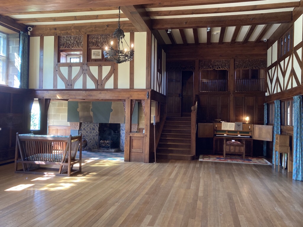
The dining room was cosier, but there is still good colour in the hessian wall covering and the fireplace is a joy.

The White Drawing Room comes as a surprise after the first two rooms, and immediately brought to mind Rennie Mackintosh’s House for an Art Lover in Glasgow. Firstly there is the amazing panorama from the window opposite the door …

… the dazzling white gesso everywhere … the ceiling panels, wall freeze and also the capitals which look like delicate trees …

… then another great fireplace with original firedogs and the vivid blue of the tiling complements the blue in the stained glass windows.

The Rowan tree appears in the family crest and is used as a motif throughout the reception rooms …

More stained glass and tiling details … so pretty!

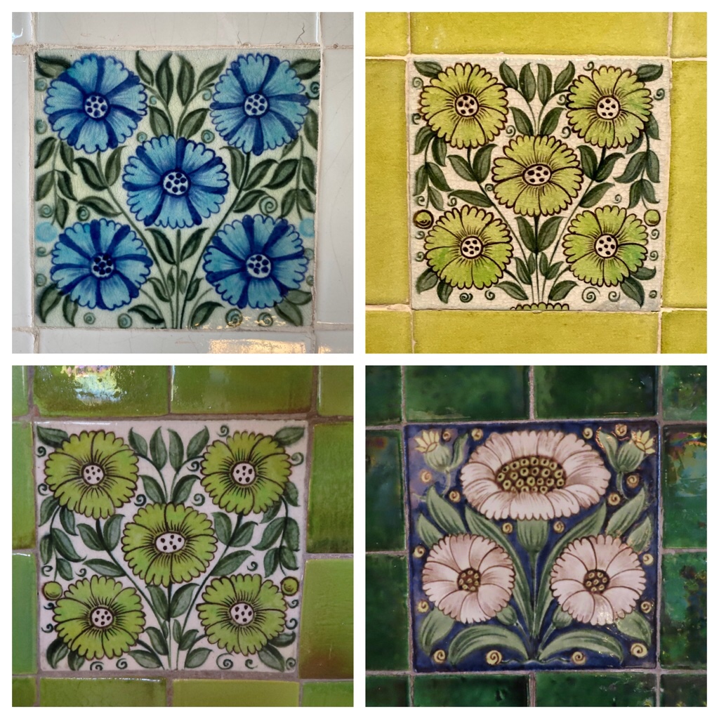
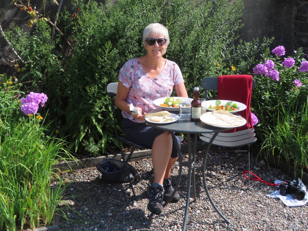
After checking out the exhibition about the Arts & Crafts movement and another celebrating cultural connections with Japan at that time, we settled in the garden for lunch … I said it was a chilled day!
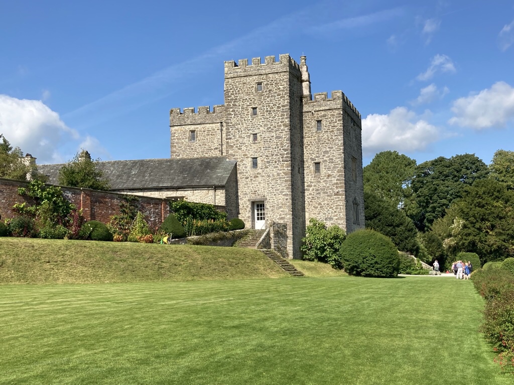
On the way back, we stopped at Sizergh (pronounced sizer to rhyme with Tizer!). The core of the castle is a 14th-century pele tower and hall and there have been additions every century since but we didn’t go inside as it was such a lovely day. Instead we just wandered round the gardens and even the estate walk seemed too much like hard work.

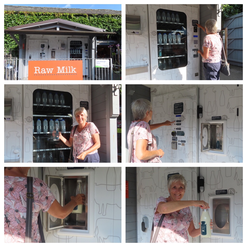
As we left we saw a sign for a farmshop and we picked up some Lancashire cheese made on the farm and cake. They also had a milk vending machine, selling whole organic milk from cows we saw being milked … and we confirm it was lovely for porridge and muesli.

In the evening we walked to Corner 134 in Kendal where we had a lovely dinner. We started with a platter of mixed tapas style mouthfuls, followed by venison with mustard & raspberry sauce for me and a veggie filo tart with taleggio for Chris. Afterwards we had vanilla ice cream with Pedro Ximenez. Who’d have thought ice cream with sherry poured over it was a thing … I’m obviously behind the times as Rick Stein did this 10 years ago!
Map

Kirkstone Pass

We drove on side roads south to Penrith, enjoying the scenery as we went, including this sheep in the heather.

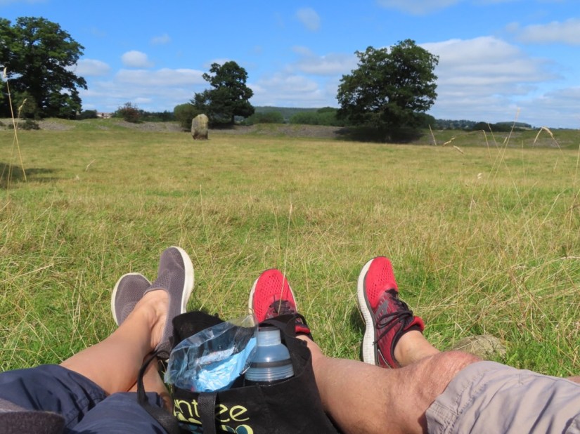
We found Mayburgh Henge and sat here to eat our lunch, then continued to Pooley Bridge, gateway to the Lake District at the top of Ullswater.

The road took us along the side of the lake and we could see people were enjoying the view in the sun or playing about on the water. There were several small parking areas, and finally we saw one with a space and walked path to the shore.

A bit further and the land became hillier …

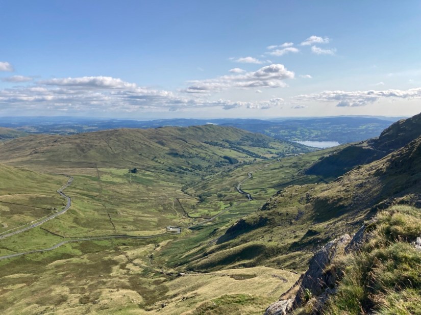
… and the road started to rise as it approached Kirkstone Pass and we took this photo back towards Ullswater.

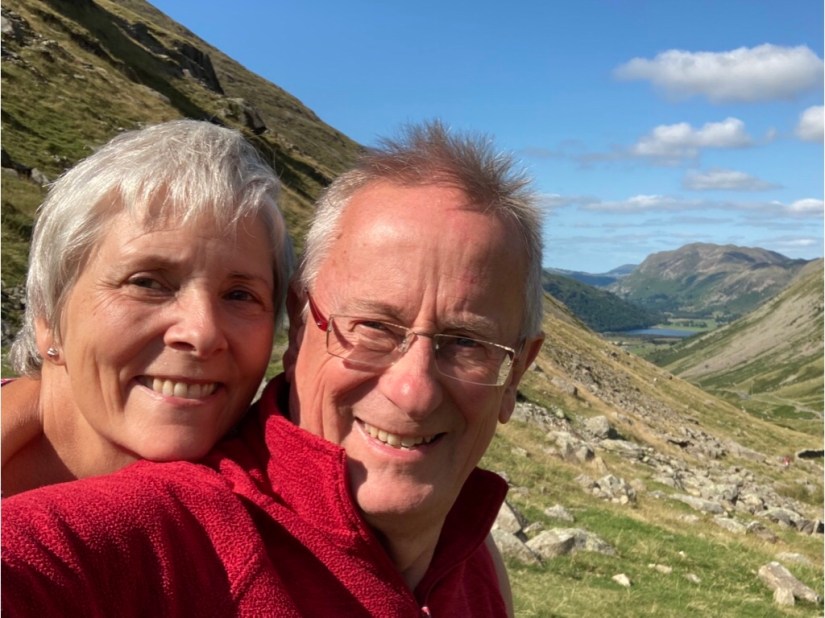
We parked at the top, opposite the Kirkstone Inn and followed the path up Red Screes to get a better view. The signpost said 3/4 mile to the summit and I reckon we got just over halfway and decided we had gone far enough.

We could see The Scramble, a narrow twisty road leading down to Ambleside and the top of Windermere and also the far end of Windermere behind Wansfeld Pike with Morecambe Bay in the distance

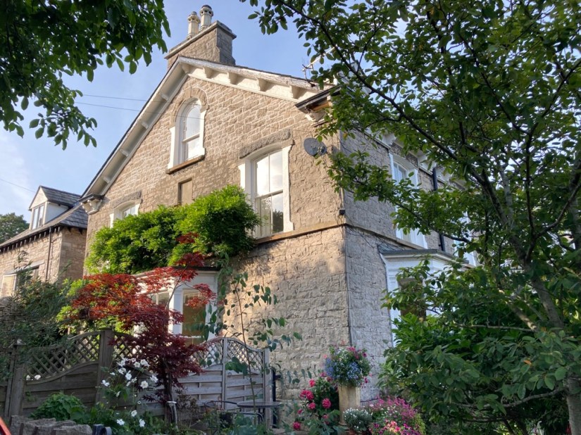
Time was getting on so we went on to Kendal to check in to our next stop, a cute basement flat in a terrace of smart houses built in 1860. It feels a little like a hobbit hole with little natural light at this time of day, but perfect for a three day stay when we will hardly be here.

We’d barely settled in and freshened up and it was time for a 20 minute walk into town for dinner. I’d booked a table in Jintana, a Thai restaurant, and we had a lovely meal, very reminiscent of previous travels.

Map

Ashgill Force

It is our last day here and we are driving south to meet Mary and Jerry who are on holiday in their motor home and staying locally.

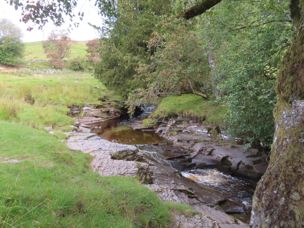
We chose a short walk to the lower falls of Ashgill Force which was pretty impressive, but I think if we had climbed higher there may have been a higher waterfall. Nonetheless we walked back along the River South Tyne then went for a late lunch.

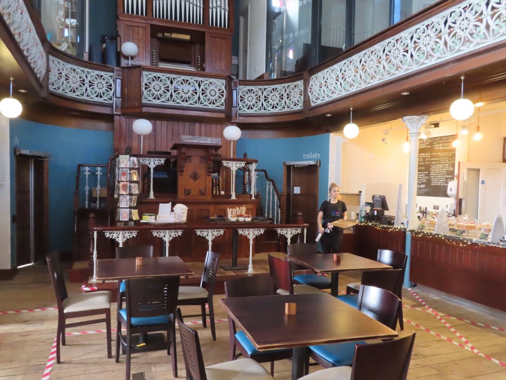
Nenthead is one of England’s highest villages at around 1,500 feet and was built for the miners and families of the London Lead Company which was formed by Quakers in 1704, making it one of the earliest purpose-built industrial villages in Britain. As well as housing, there was a school, a reading room, public baths and a wash-house and Nenthead was the first village in the UK to have electric street lighting from excess power generated by the mines. The Hive is a community cafe in the beautifully restored Wesleyian Chapel and we had a great lunch.

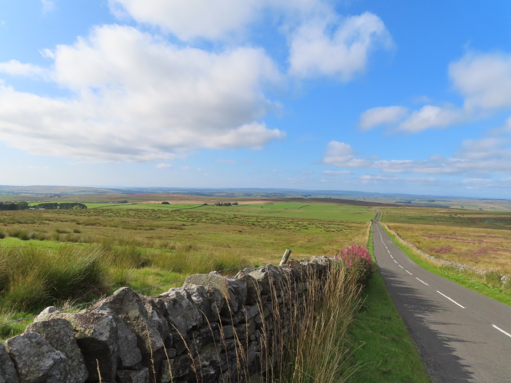
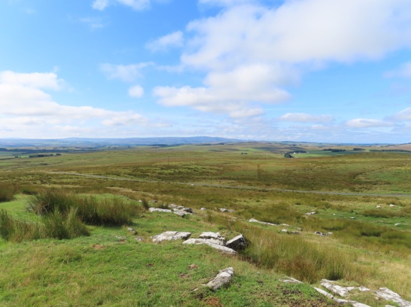
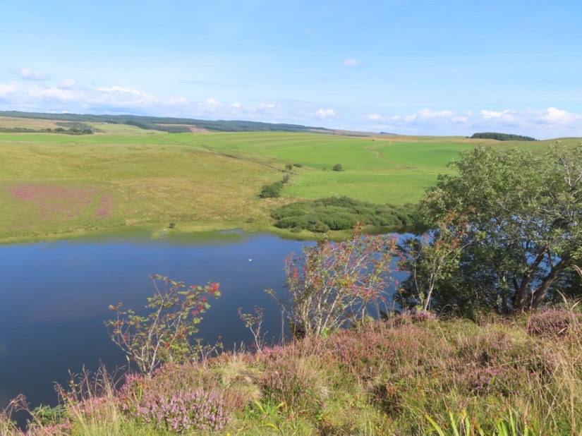
The road back took us back over high ground and we could see for miles with the sunshine picking out patches of purple heather.

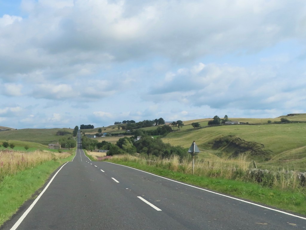
The other road that needs a mention is the A6813, known as The Military Road locally, which runs parallel to Hadrians Wall and runs remarkably straight.

We’ve been driving up and down it all week but it wasn’t built by the Romans. Instead it was constructed by General Wade in 1746 to improve access for his troops during the Jacobite Rebellion and undoubtedly contains stone recycled from the wall, as do many local buildings.

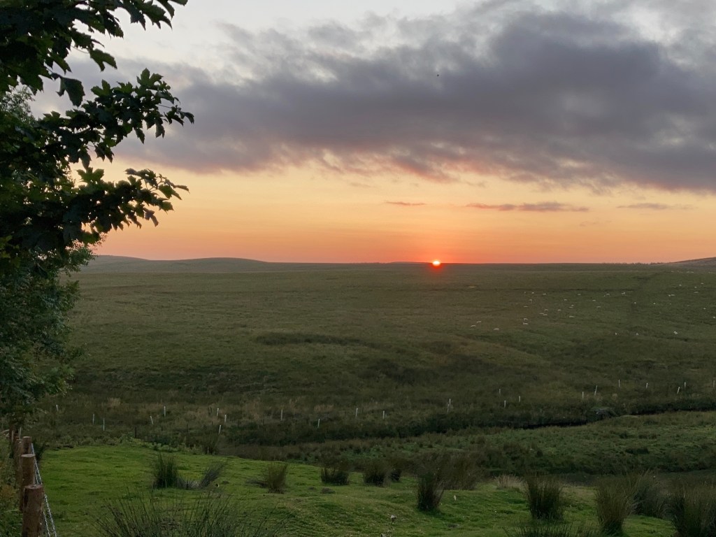
Anyway, our stay here is coming to an end as we move on tomorrow. On our last evening there was a nice bit of colour when the sun set …

… and a supper with cheese from Tebay… Blue Winnow and Crofton Cheese.

Hope Sike has been a great base for our week here. We’ve enjoyed the novelty of staying out in the middle of nowhere, and playing our guessing game of Sheep Run, but we won’t miss driving at 5mph down the rough track in and out. As for having no wifi or phone signal in the cottage, that has been refreshing/taken getting used to/irritating depending on how chilled we are at the time!
There’s been plenty of time to review photos and write the blog although posting the entries will have to wait till we have a decent signal. I’ve also been enjoying the Roman Trilogy by Rosemary Sutcliffe and have read the first two, The Eagle of the Ninth – a quest to retrieve a lost Roman Standard and The Silver Branch – spying and sculduggery in Roman Britain. Now I’ve gone for a change of pace, having found Scyamore Gap by LJ Ross, a DCI Ryan murder mystery with a dead body or two buried in the wall! Chris has remained local this evening, watching an old episode of Vera!

Map

Vindolanda

After a breakfast of eggs and toast, we headed up the drive and along the road to the first passing place. By this point our phone signals have kicked in so we’ve been stopping to check in with the world! That done, we set off for the day’s exercise, a short walk from Greenhead to Thirlwall Castle, across fields to Wallsend and back. The castle was built in the C13th as a family stronghold, made from recycled Roman stone, but once abandoned 400 years later it slowly became a ruin. Early tourists admired its picturesque melancholy but today it’s almost too ruined to even be called picturesque. Legend says that during a border raid, a servant hid the family’s most prized possession, a gold table, down the well where he and the table remain to this day, protected by a magic spell! Chris has been making friends again and here he is with Anya and Noah who had come for a walk to the castle with their Mum.

We stopped in the tearoom on the way back … delicious lemon and lime cheesecake … then onwards to Vindolanda. This Roman Fort is actually about 8 forts on top of one another as there were around 5 wooden forts, before they started building in stone, each with a slightly different footprint and recycling the previous materials where possible. It has been owned by a trust and they have been continually excavating for 50 years, and their huge haul of finds is displayed in the museum.

It felt like we had arrived in an Italian courtyard as we waited for the guided tour, which was given by a very enthusiastic volunteer called Paul who really helped to make the place come to life.

Just like Housesteads, there is the vica or town outside the walls with barracks, granaries, admin centre, bath house and the commander’s house within the fort.

This shop was identified as a butchers, with suitable drainage on the floor and the bakers with the bread oven is behind.

Here are granaries, where sufficient food had to be kept to feed the fort for six months, so adequate ventilation under the floor was essential.

The commander’s house would have been luxurious, with its own bath house, and a dining room with underfloor heating.

This just shows drainage between the buildings, which would have required rainfall to wash it clean.

The ground here is anaerobic so has preserved many artefacts made of natural materials like wood and leather. There is a huge collection of shoes including thongs, clogs and sandals of all sizes with and without hob nails!

The highlight of museum are the Vindolanda tablets, postcard sized strips of wood with handwritten messages in ink. Most are in the British Museum, but they have a few examples on show, and in fact it is the information on them which is so valuable as it gives further insight to life here. I particularly like this example, perhaps the oldest surviving document written in Latin by a woman … and in fact a party invitation!

The variety of household items were most interesting and we could have spent far longer looking … apparently there is a small wooden salt cellar, but we missed that … but it was almost closing time and the site is quite large.

That evening we drove to Corbridge to meet Heather and Stuart for a curry. Heather and I met at school and although we keep in touch every Christmas, we haven’t seen each other for 20 years! It was lovely to meet face to face and catch up a bit.

Map

Haltwhistle

Over breakfast we chatted about where to walk as it was another lovely day and decided we loved being out walking in wide open spaces so returned to Steel Rigg and rather than walking along the wall, we crossed farmland to the left of it which have us great views of Crag Louth and Sycamore Gap from a different direction.

We walked along the line of the wall for a while …

… then took the easier path for the rest.

We drove into Haltwhistle for lunch and I was delighted to find Jethro’s serving salad boxes and sandwiches to go so we made our choices and sat in the market square munching.

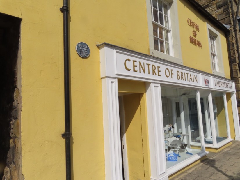
So I can tell you Haltwhistle was a settlement before Roman times and certainly before the coming of trains so its name has nothing to do with a railway stop! From the Middle Ages there were various early forms of the name, but all derived from hilltop, twice and wella signifying the high hill by two rivers. It’s history includes more than just the Romans. There were also the Reivers and 300 years of border skirmishes for which there is evidence in the town. Pele Towers were built and also defendable houses, known as Bastles. These structures were inhabited on the first floor with access to the main entrance by wooden ladders or stone steps and some signs can be spotted such as irregular windows … as well as the blue plaques!

The oldest part of the Centre of Britain Hotel is in fact a Pele Tower, the castellated part on the right, dating to about 1417.

Which brings me to its most recent claim to fame, being rebranded the Centre of Britain a few years ago, which it could be, depending on how you calculate it and the hotel and several other businesses trade on it!

Some of the family names in town go back too like Armstrong, once the owners of the farm at Housesteads and now purveyors of carpets and fashion!

There is also a history trail round the town which tells of its fortunes from a bustling market town with the local stream powering wool and corn mills to a prosperous mining town once the railway came to the area. Not surprising that a Victorian refurbishment of the church included lovely Pre-Raphelite stained-glass designed by Edward Burne-Jones, Philip Webb & Ford Maddox Brown.

Time for a cuppa and a sit down so having picked up bread and milk in Sainsburys, we’re back to Hope Sike. Each day when we return, we guess how many sheep we will see on the road and so far Chris is best at guessing – not right, but closest! At least they run off quite quickly, but today we came across cows on the road, and one refused to budge – we tried the horn then getting out and waving but it was reversing and then a fake charge with the car that actually worked … and she nonchalantly wandered off!

Supper was reheated Tebay pies, and the entertainment provided by the tractor which rocked up right outside the window, backing into the field to pump out the septic tank – one wrong move and he’d have been in the cottage!

Map

Sycamore Gap

Quite a nice morning …

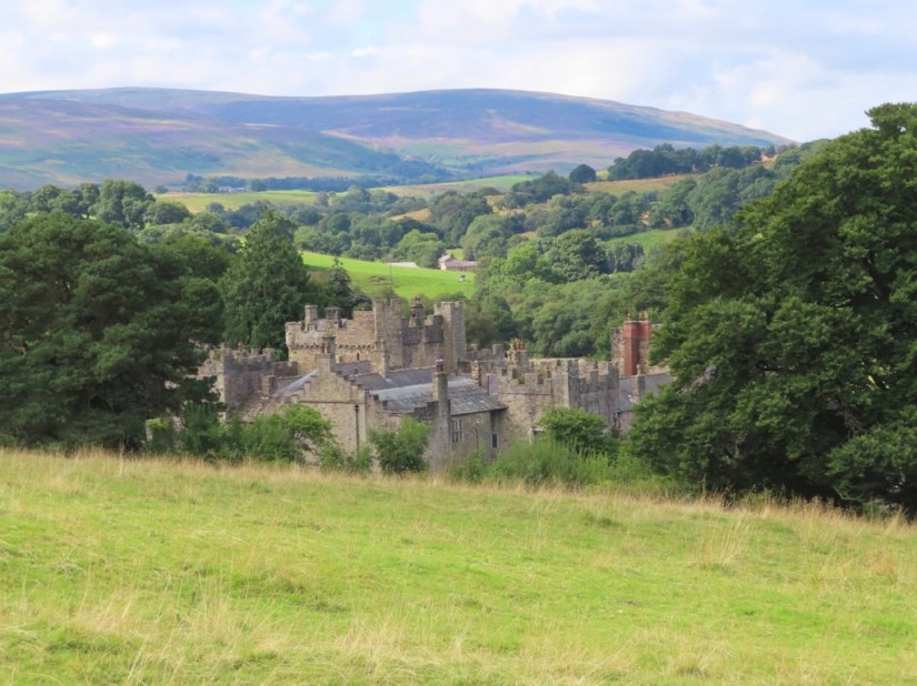
… and we decided to take a break from the wall and walk somewhere else. We parked in Featherstone Station Car Park, but there is no longer a station or a railway line. The line was closed in 1976 then reopened some 20 years later as a footpath and cycle way. We walked up to Featherstone Castle, begun in the C14th, but with a varied history including as a GI training camp in WWII then a POW camp.

The path then took us along the banks of the River South Tyne …

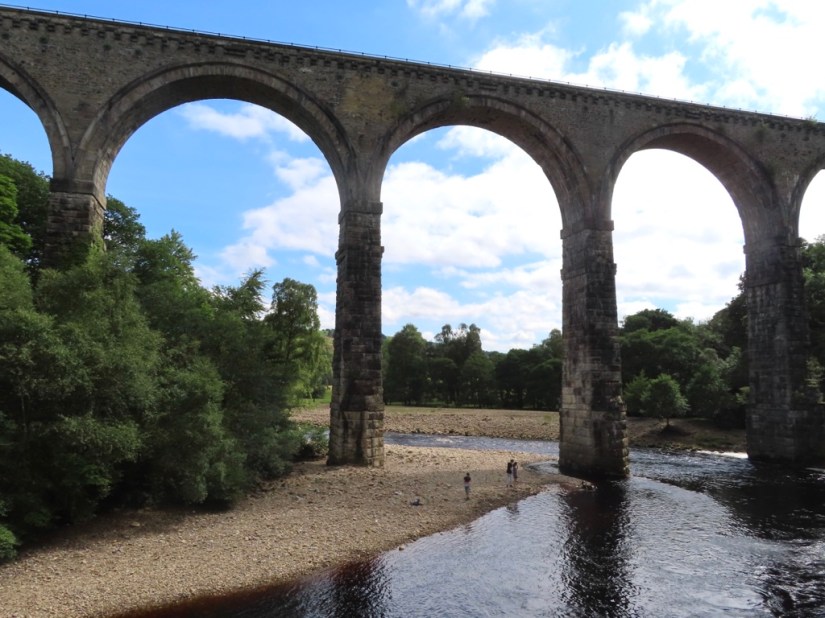
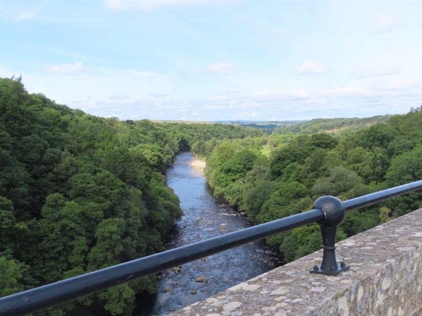
… to the village of Lambley with an impressive Viaduct.

We walked down to the River to take photos before climbing back up and crossing the river on it with great views. We continued on the path following the disused railway back to the car.

It was well past lunchtime when we arrived at The Sill – the National Landscape Discovery Centre, hoping to get a cream tea in the cafe. They’d had a busy day, and were down to their last scone which Chris gallantly said was mine and he tucked into a veggie pasty instead … such hardship! Having had a rest and taken advantage of the wifi, the afternoon was looking just lovely, and despite having already clocked up almost 5 miles, we decided the light was too good a chance to miss. We drove to Steel Rigg and walked along what must be the most popular section of the wall, which starts with the Peel Crags escarpment and the blue waters of Crag Lough in the distance.

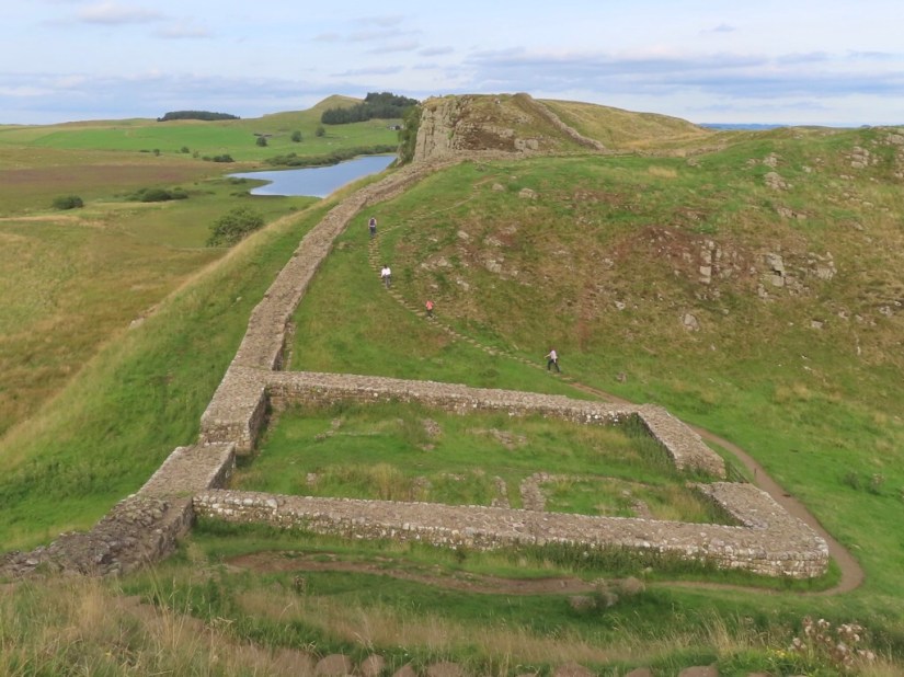
Further along, the ruins of Milecastle 39 come into shot as well …

… and after the next rise, Sycamore Gap containing possibly the most photographed sycamore tree! It first became a star when it appeared with Kevin Costner in Robin Hood Prince of Thieves and has more recently been seen with Robson Green and in Vera. It has also been adopted as a motif on many of the local souvenirs and everyone who visits wants to get that perfect shot.

Pleased we’d made the effort, we walked back to the car and called it a day – 7pm and 8 miles walked. Fortunately dinner was a chickpea curry we had brought with us, quickly heated through. But the sunshine shone on, and an hour later we were out again, taking pics of the last rays over Hope Sike.

Map

Milecastles and Turrets

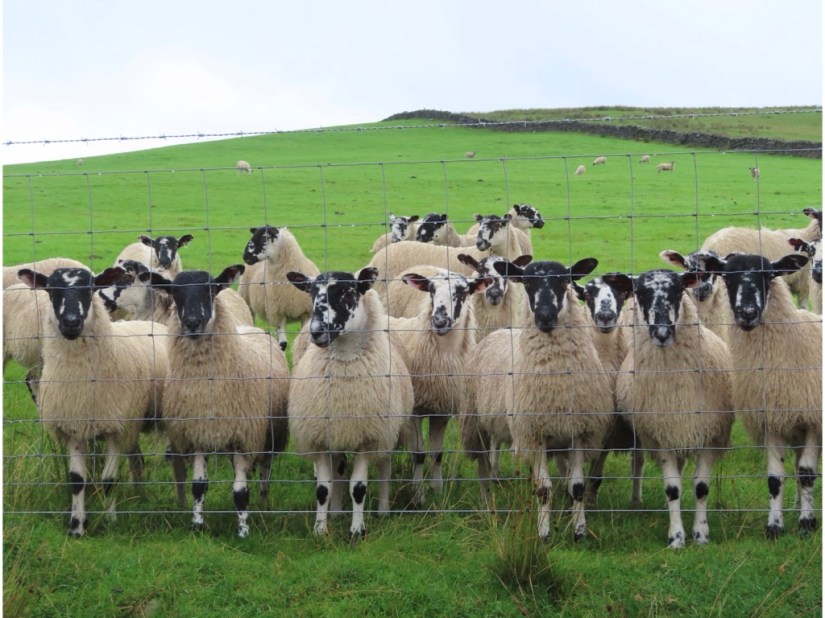
When I opened the curtains, the cloud was right down and we were surrounded in white! Fortunately it soon lifted and by the time we were up and breakfasted it was looking brighter, if cloudy, so we packed some sandwiches and set out for a walk. On the way we stopped to take a photo of the view …

… and to our amusement and surprise the sheep came up to the fence, one by one and lined up to have a look at us and say hello.

We had picked the circular Cawfields loop, taking in a short stretch of Hadrian’s Wall and returning on a path following the course of the old Roman Military Way which ran parallel to the wall and provided access. We parked at Cawfields Quarry, today an attractive picnic spot by a lake. Having read the information board though, we realised that the pretty lake was formed after the quarry destroyed this section of Hadrian’s Wall by removing the scarp face for the dolerite, particularly valued for surfacing roads. Quarrying continued until 1952 when pressure forced its closure.

Having said that, the next bit of the wall is quite well preserved and almost as soon as we joined the footpath, it brought us alongside Cawfields – Milecastle 42. The Roman’s built these small forts every mile with gateways through the wall and soldiers barracked here to control the border.

We then set off along the wall which follows the natural defensive line of the escarpment with several ups and downs along the way. Parts of the wall were well preserved, still showing the neat outer rows of stones, back filled with smaller stones, although I’m sure most of this is ‘restored’ rather than original!

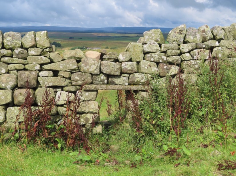
In between, the wall has been replaced with stretches of drystone wall, complete with sheep shutes!

There are also remains of the turrets, two built between each pair of milecastles, usually two or three stories high and big enough to garrison a handful soldiers.

We were going to turn at Caw Gap, but we kept on going a bit further and found a great spot to sit and eat our lunch …

… before returning. Looking across, we could see the raised earthworks which formed the vallum ditch which ran the length of the wall behind the Roman military road.

With a little time to spare, we stopped at Birdoswald Roman Fort on the way back, and in retrospect wished we hadn’t bothered. There was a ruined perimeter wall, an excavated granary and not much else. The museum display would have been engaging for children but offered little for adults, we paid English Heritage £23 for entry and parking and we were in and out in an hour! You win some and lose some!

In the evening, we returned to Twice Brewed for supper and star gazing. Thanks to its pristine dark skies and a commitment to conserve them, the whole of Northumberland National Park and most of Kielder Water & Forest Park became England’s first International Dark Sky Park in 2013. Will Cheung, the resident astronomer, gave a great talk about all things celestial, and when it was dark enough, we went outside and there was a telescope for each couple. Will repeatedly came round and set up each telescope, telling us how to fine tune the focus and what we would see, trying to make the most of the clear skies which weren’t going to last. The most impressive things were Jupiter and Saturn, which might be visible with the naked eye if you know where to look, but with the telescope, Saturn’s rings were visible. We also saw the Hercules Globular Cluster which contains several hundred thousand of the oldest visible stars.

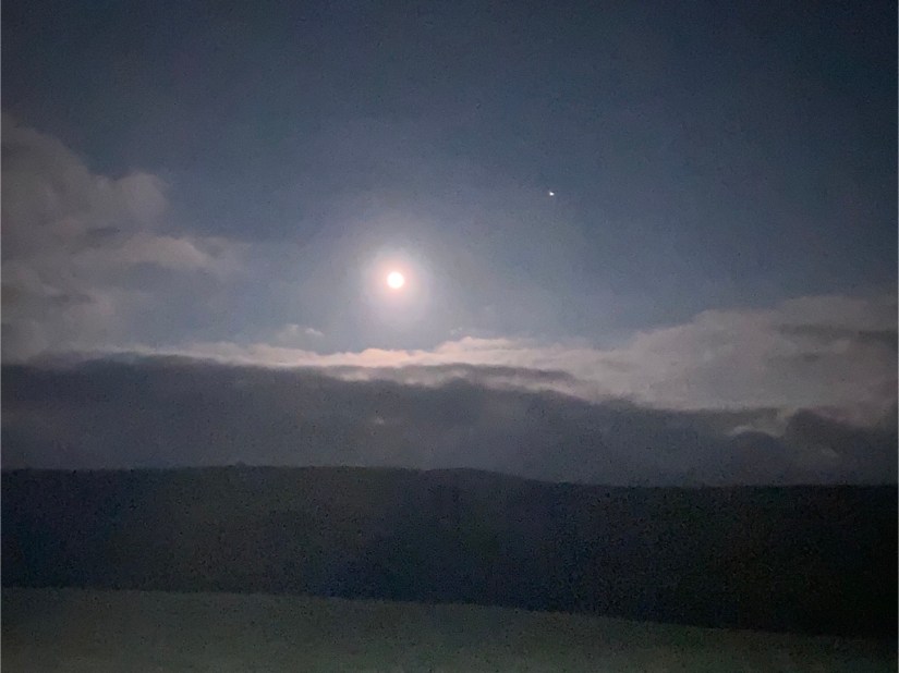
The moon was especially beautiful. August’s full moon is called the Sturgeon Moon because the giant sturgeon of the Great Lakes in the USA were most readily caught then. This year, it is also a seasonal Blue Moon because while a season usually has three full moons, if the dates fall right, a season can have four and if that happens, the third full moon of the season is called a seasonal Blue Moon. Will even managed to take a photo on our phone with the telescope which was cool.

Shortly after, the cloud came over, but we had seen more than I thought we would, I just thought the images would be bigger through the telescope. The sky cleared on the way back, and I took this with my phone with Jupiter beside the moon. By the time we got back it was gone 11.00, well past our bedtime!

Map

Housesteads Roman Fort

We woke to steady drizzle interspersed with heavy downpours and the weather forecast said it would rain all day, but be dry tomorrow. We gave in and picked up our books and spent a couple of hours escaping!

Some time later, the sky had brightened, so we thought we’d venture out and see how we got on. On our way back to the main road, we stopped to take photos of the clouds, the hills and the sheep and just admire the huge landscape all around us.

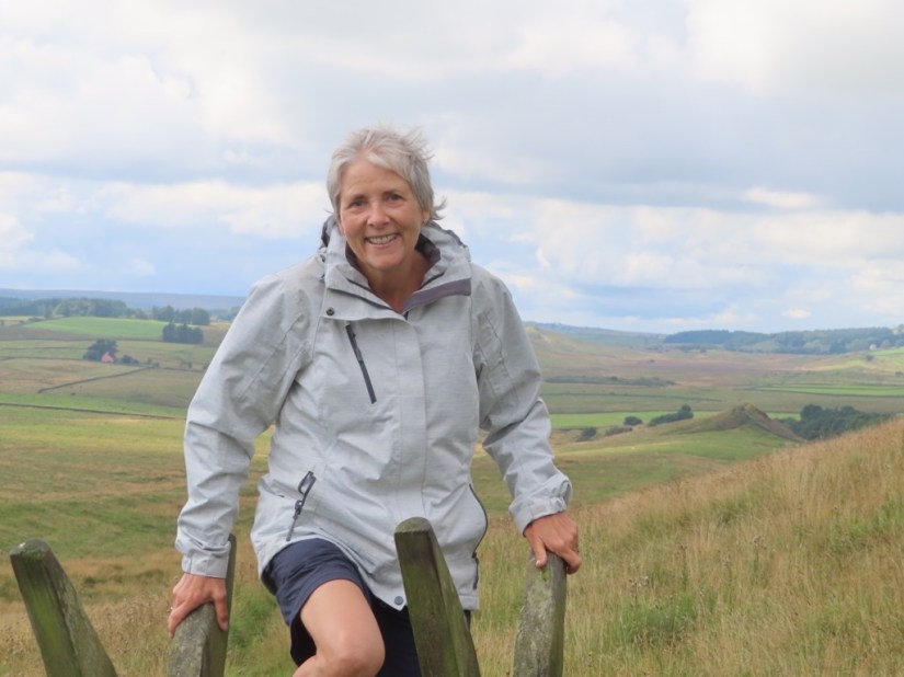
We had been too tired yesterday to take much notice, but the road had crossed Hadrian’s Wall to reach the farm. Today we stopped and took a closer look, walked a short way along the wall and took a selfie with the star of the trip!

Emperor Hadrian came to Britain in 122 CE and, in the words of his biographer, ‘was the first to build a wall, 80 miles long, to separate the Romans from the barbarians.’ At every mile of the wall, a castle guarded a gate, and two turrets stood between each castle. In today’s measurements, it is 73 miles, from Carlisle to Newcastle and quite a lot remains, being celebrated next year with the 1900 Festival.

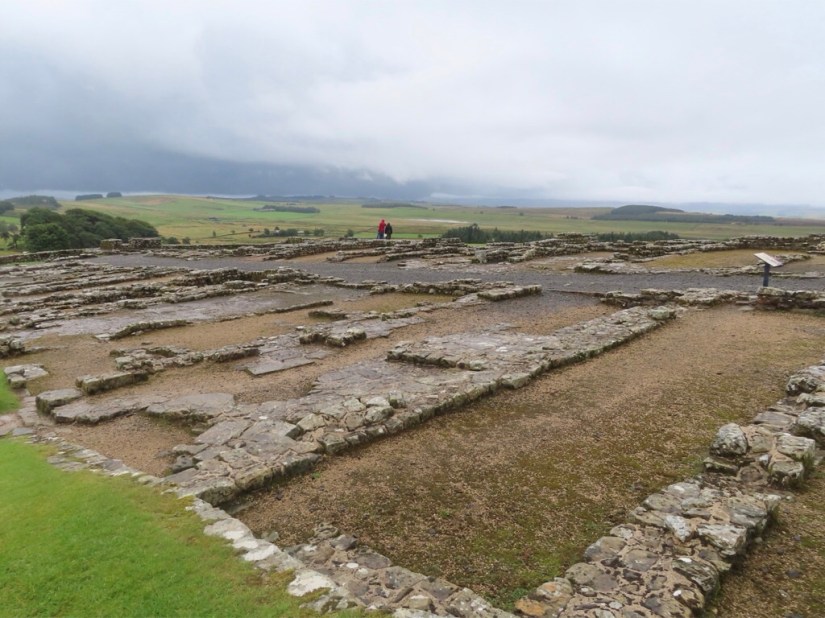
We drove to Housesteads Roman Fort, known as Vercovicium to the Romans and the best preserved of all 16 forts on the Wall. It’s location and the clarity of its excavations make it the most must see stop on the wall. The name Housesteads comes from the farm, built in the centre of the fort in 1604 and home of the Armstrongs, a notorious family of border reivers, well known horse thieves and cattle rustlers, but more about the reivers later.

In Roman times, the fort was occupied for around 280 years by up to 900 auxiliary soldiers and for much of that time there was also a vicus or civilian settlement just outside the walls. This helped meet the everyday needs of the soldiers, with houses, shops and inns and also fields to grow crops and raise livestock.

We walked from the car park up to the fort and looked round the museum, fortunately during another downpour, and noticed they they couldn’t resist a Game of Thrones reference, just as we couldn’t!

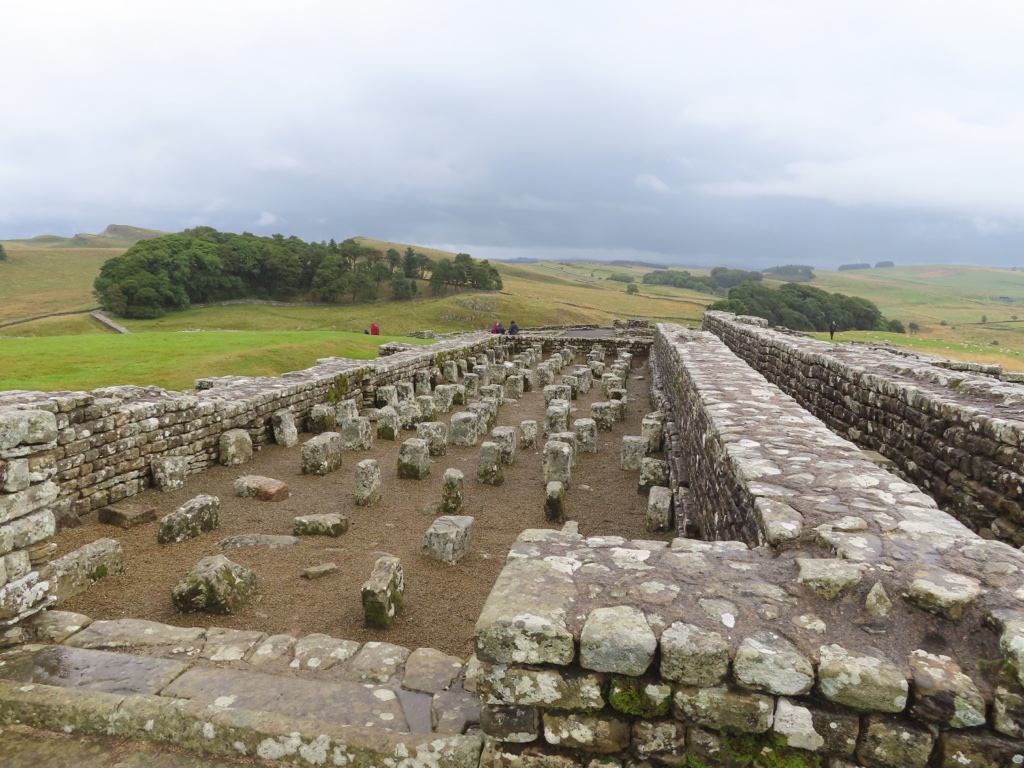
The ruins were extensive and easily recognisable as barracks …

… granaries …

… latrines …

… and also a bake house built into the outer wall.

I also noticed a novel in the shop called the Eagle of the Ninth Chronicles by Rosemary Sutcliffe which Chris remembered reading at school and I resolved to download it when I could.

We were getting peckish and decided to grab a sandwich in the local pub, so we drove to Once Brewed, a village on Hadrian’s Wall, today consisting of an inn, a couple of farms and the The Sill National Discovery Centre and Youth Hostel. But it hasn’t always been thus …

Once upon a time there was a village northwest of Hexham called Twice Brewed with an inn, a couple farms and a stretch of road first laid down in 1751. The inn was, and still is, called the Twice Brewed Inn, and there are several stories about how it got its name, mostly about soldiers complaining about weak beer and demanding it be brewed again as it lacked fighting strength, or that this inn generally served stronger ale, hence twice brewed. Of course the inn is also situated between the brows or ‘brews’ of two hills … take your pick!

In 1934, the first Youth Hostel in England was built just beside the Twice Brewed Inn and it was opened by Lady Trevelyan, a staunch teetotaller. In her speech she mentioned the inn and said ‘Of course there will be no alcohol served on these premises so I hope the tea and coffee will only be brewed once.’ Henceforth the hostel became known as the Once Brewed Youth Hostel and when the Northumberland National Park Centre was built on the same site in the late 1960s, it was also christened ‘Once Brewed’.

Someone, at some point, either visited or heard about the village, and thought the name of the youth hostel meant ‘the youth hostel of the village Once Brewed’ and at that point Twice Brewed vanished from official maps. Now the description of the village on Google Maps or Wikipedia says ‘Once Brewed, also known as Twice Brewed or Once Brewed/Twice Brewed is a village in Northumberland, England’, but on the actual map it only says Once Brewed.

Nevertheless, one fact is definite: ‘Once Brewed’ is only called ‘Once Brewed’ because it’s next door to ‘Twice Brewed!’

Fortunately we located it with no trouble, took full advantage of the wifi and thoroughly enjoyed our lunch – my blt was delicious!

We drove back through the nearest village called Haltwhistle, but the rain was coming down again and they obviously have that quaint custom of half day closing on a Saturday so the place was deserted and we’ll come back another day.

Back at Hope Sike with a cuppa, I escaped to Roman Britain with my new book, an adventure starting in Silchester then north, over the wall in search of the lost standard of the ninth legion, stopping briefly to heat up some chilli. Fortunately, it is a trilogy as I managed to finish the first book before bed!

Map

Hope Sike

With a 326 mile drive ahead of us, we were on the road at 8am. We took the M40 north, the M62 toll round Birmingham, the M6 between Liverpool and Manchester and on to Carlisle before turning right for the final stretch.

We took turns driving, made a couple of stops for coffee and lunch and made fair time considering there were a couple of sections with slow traffic.

We we excited to see Tebay Services was on our route because there had been a recent tv show called the Lake District Farmshop all about the only family owned service station in the UK. It was opened in 1972 by John and Barbara Dunning after the M6 motorway was built through their farm and began as a small restaurant and shop selling locally sourced crafts and drivers’ essentials. Today they work with more than 70 producers from within a 30-mile radius, even selling local lamb and beef raised on their farm and butchered on site. It certainly didn’t look like any other service station I’ve been to and we bought pies, local cheese, a ginger cake, pasta sauce and some bread rolls.

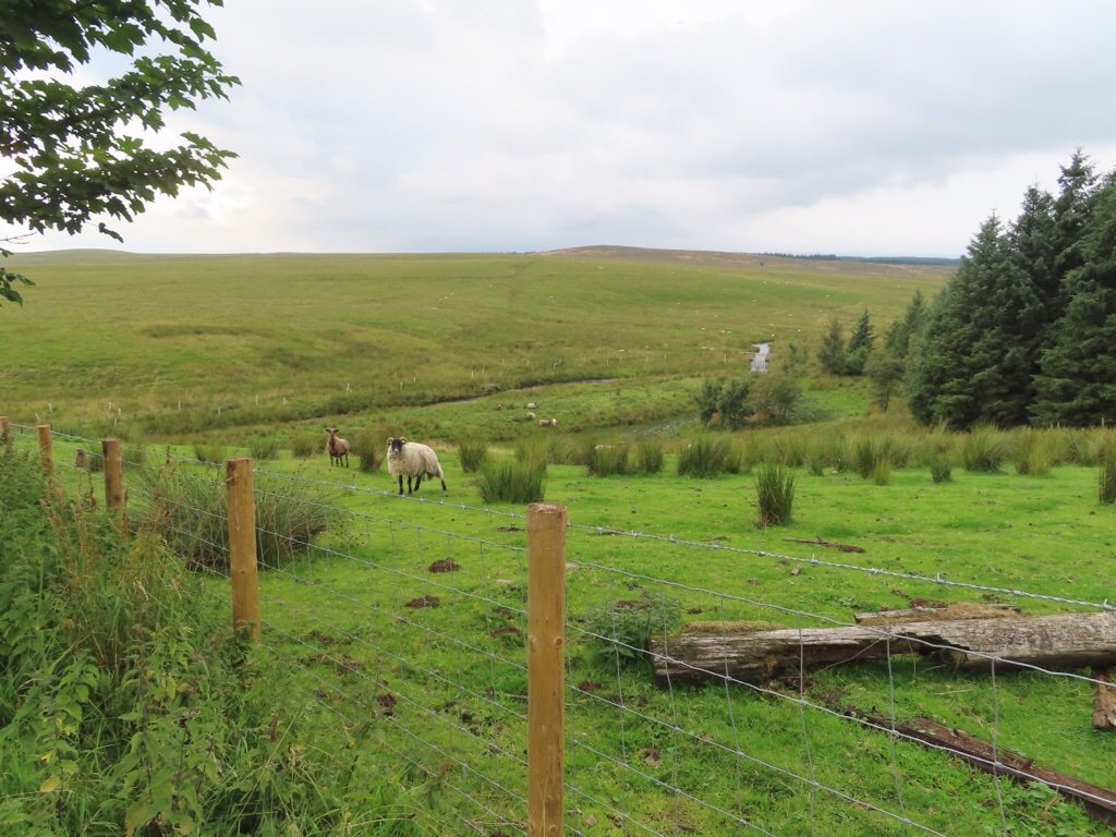
Around 5pm we made our final approach from the main road onto a narrow side road, passed a couple of farms, over a cattle grid to an unfenced road with sheep everywhere and lastly to a rough track leading to Scotchcoultard Farm. Just four miles north of Hadrian’s Wall in the Northumberland National Park, we really are in the middle of nowhere, with just sheep for company.

We are staying in Hope Sike, part of a converted stone farm building made into a holiday apartment and named after the small stream which runs through the farm. We settled ourselves in and relaxed with a cuppa and a piece of the excellent ginger cake procured at Tebay.

Later we went for a wander to stretch our legs and acquaint ourselves with the local inhabitants … sheep, cows, pigs and a little dog who barked a lot and wanted us to throw a tennis ball for him … and also spotted the stream.

Chris came to terms with the combi microwave and persuaded it to heat our pies while I negotiated the two ring hob to cook veg, made interesting as all markings were missing from the dials!

Somewhere along the way, it became obvious that not only was the wifi a bit hit and miss, although we were prepared for that, but that neither of us had a phone signal either and we resigned ourselves to the refreshing concept that we really had got away from it all!

We had a play with the tv to check out which channels would be good for a weather forecast in the morning then I started writing my journal for the day offline, while Chris resorted to Digital Photographer and his comic … oops, Private Eye!

Map

Chris & Elaine Go North to The Wall 2021

We are continuing our 2021 exploration of Great Britain, and having already travelled east and west, now it is time to go north. But there is so much north when you live in Berkshire, so where to go? Having pored over a map, Chris said we should go and see Hadrian’s Wall and the decision was made.

We were lucky to find a holiday cottage close to the wall, with just one week left this summer and snapped it up. We will have a chance to explore the ruins and walk along the wall, probably in both directions! There are also plans to meet up with friends and to take advantage of the dark skies to go star gazing.

We wanted to take the return home a little more slowly, and found a few days self catering in both Kendal and Settle, so will be able to get a flavour of the Lake District and Yorkshire Dales on the way.

Exact plans will depend on the weather, so we are hoping for a repeat of sunny Southwold rather than stormy Skomer, but we will be prepared whatever the weather and are looking forward to another adventure together.

Journal Entries

Hope Sike

Housesteads Roman Fort

Milecastles and Turrets

Sycamore Gap

Haltwhistle

Vindolanda

Ashgill Force

Kirkstone Pass

Blackwell

Blelham Tarn

Keld Waterfalls

Malham Cove

Malham Tarn

Ingleton Waterfalls & Twistleton Scar

Map